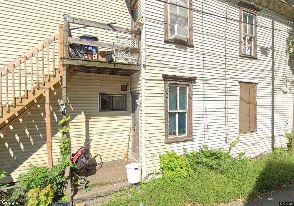
720 Marion St Scranton, PA 18509
Greenridge NeighborhoodEstimated Value: $67,000 - $134,000
Studio
--
Bath
--
Sq Ft
4,661
Sq Ft Lot
About This Home
This home is located at 720 Marion St, Scranton, PA 18509 and is currently estimated at $99,667. 720 Marion St is a home located in Lackawanna County with nearby schools including John Adams Elementary School, Northeast Scranton Intermediate School, and Scranton High School.
Ownership History
Date
Name
Owned For
Owner Type
Purchase Details
Closed on
Sep 28, 2022
Sold by
Munley Joseph T and Munley Renee
Bought by
Lambert Jason
Current Estimated Value
Purchase Details
Closed on
Apr 17, 2006
Sold by
Munley Robert J and Munley Gloria A
Bought by
Munley Joseph T and Munley Renee
Home Financials for this Owner
Home Financials are based on the most recent Mortgage that was taken out on this home.
Original Mortgage
$130,000
Interest Rate
6.28%
Mortgage Type
Commercial
Create a Home Valuation Report for This Property
The Home Valuation Report is an in-depth analysis detailing your home's value as well as a comparison with similar homes in the area
Home Values in the Area
Average Home Value in this Area
Purchase History
| Date | Buyer | Sale Price | Title Company |
|---|---|---|---|
| Lambert Jason | $42,500 | -- | |
| Munley Joseph T | -- | None Available |
Source: Public Records
Mortgage History
| Date | Status | Borrower | Loan Amount |
|---|---|---|---|
| Previous Owner | Munley Joseph T | $130,000 |
Source: Public Records
Tax History
| Year | Tax Paid | Tax Assessment Tax Assessment Total Assessment is a certain percentage of the fair market value that is determined by local assessors to be the total taxable value of land and additions on the property. | Land | Improvement |
|---|---|---|---|---|
| 2025 | $1,583 | $3,250 | $3,250 | $0 |
| 2024 | $1,482 | $3,250 | $3,250 | $0 |
| 2023 | $1,482 | $3,250 | $3,250 | $0 |
| 2022 | $1,451 | $3,250 | $3,250 | $0 |
| 2021 | $4,734 | $16,000 | $3,250 | $12,750 |
| 2020 | $4,648 | $16,000 | $3,250 | $12,750 |
| 2019 | $4,375 | $16,000 | $3,250 | $12,750 |
| 2018 | $4,375 | $16,000 | $3,250 | $12,750 |
| 2017 | $4,299 | $16,000 | $3,250 | $12,750 |
| 2016 | $1,400 | $16,000 | $3,250 | $12,750 |
| 2015 | $3,251 | $16,000 | $3,250 | $12,750 |
| 2014 | -- | $16,000 | $3,250 | $12,750 |
Source: Public Records
Map
Nearby Homes
- 1635 Sanderson Ave
- 535 Green Ridge St
- 1519 1521 von Storch Ave
- 614 Delaware St
- 317 New York St Unit 319
- 1513 Meylert Ave
- 1325 Wyoming Ave
- 1732 Capouse Ave
- 1747 Monsey Ave
- 814 N Washington Ave
- 1762-1764 Sanderson Ave
- 1411-1413 N Washington Ave
- 1320 Wyoming Ave Unit Rear 2
- 1012 Sunset St
- 1403-1405 Adams Ave
- 3 Ferguson Place
- 539 New York St
- 2 Ferguson Place
- 1121 Albright Ave
- 543 New York St
- 720 Marion St
- 720 Marion St Unit 3
- 722 Marion St
- 724 Marion St Unit 26
- 714 Marion St Unit 716
- 728 Marion St Unit 20
- 1422 Fordham Ct Unit 1424
- 714-716 Marion St
- 1430 Sanderson Ave
- 1422-1424 Fordham Ct
- 1432 Sanderson Ave Unit 1434
- 723 Marion St
- 1420 Fordham Ct
- 1418 Fordham Ct Unit 1420
- 725 Marion St
- 711 Marion St
- 1418-1420 Fordham Ct
- 727 Marion St
- 1417 Fordham Ct Unit 19
- 1501 Monsey Ave
Your Personal Tour Guide
Ask me questions while you tour the home.