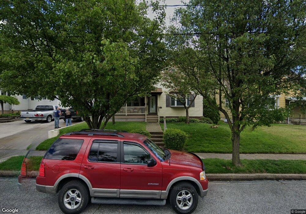
720 Mehorter Blvd Woodbury, NJ 08096
Estimated Value: $277,000 - $340,000
--
Bed
--
Bath
1,422
Sq Ft
$214/Sq Ft
Est. Value
About This Home
This home is located at 720 Mehorter Blvd, Woodbury, NJ 08096 and is currently estimated at $304,350, approximately $214 per square foot. 720 Mehorter Blvd is a home located in Gloucester County with nearby schools including Woodbury Junior/Senior High School and Holy Angels Catholic School.
Ownership History
Date
Name
Owned For
Owner Type
Purchase Details
Closed on
Feb 26, 1999
Sold by
Bradbury Donald L and Bradbury Helen P
Bought by
Croce Jeffrey W and Croce Donnalee
Current Estimated Value
Home Financials for this Owner
Home Financials are based on the most recent Mortgage that was taken out on this home.
Original Mortgage
$90,440
Outstanding Balance
$21,480
Interest Rate
6.78%
Mortgage Type
FHA
Estimated Equity
$282,870
Create a Home Valuation Report for This Property
The Home Valuation Report is an in-depth analysis detailing your home's value as well as a comparison with similar homes in the area
Home Values in the Area
Average Home Value in this Area
Purchase History
| Date | Buyer | Sale Price | Title Company |
|---|---|---|---|
| Croce Jeffrey W | $94,000 | Congress Title Corp |
Source: Public Records
Mortgage History
| Date | Status | Borrower | Loan Amount |
|---|---|---|---|
| Open | Croce Jeffrey W | $90,440 |
Source: Public Records
Tax History Compared to Growth
Tax History
| Year | Tax Paid | Tax Assessment Tax Assessment Total Assessment is a certain percentage of the fair market value that is determined by local assessors to be the total taxable value of land and additions on the property. | Land | Improvement |
|---|---|---|---|---|
| 2025 | $8,414 | $174,900 | $43,600 | $131,300 |
| 2024 | $8,115 | $174,900 | $43,600 | $131,300 |
| 2023 | $8,115 | $174,900 | $43,600 | $131,300 |
| 2022 | $7,972 | $174,900 | $43,600 | $131,300 |
| 2021 | $3,073 | $174,900 | $43,600 | $131,300 |
| 2020 | $7,471 | $151,300 | $43,600 | $107,700 |
| 2019 | $7,220 | $151,300 | $43,600 | $107,700 |
| 2018 | $7,060 | $151,300 | $43,600 | $107,700 |
| 2017 | $6,940 | $151,300 | $43,600 | $107,700 |
| 2016 | $6,843 | $151,300 | $43,600 | $107,700 |
| 2015 | $6,731 | $151,300 | $43,600 | $107,700 |
| 2014 | $6,625 | $151,300 | $43,600 | $107,700 |
Source: Public Records
Map
Nearby Homes
- 353 Dare St
- 338 E Red Bank Ave
- 132 Peterson Blvd
- 703 Washington Ave
- 671 Washington Ave
- 626 Green St
- 615 L1.02 Carteret Ave
- 652 N Broad St
- 723 N Broad St
- 13 Dubois Ave
- 56 Fisher Ave
- 615 Lot: 1.01 Carteret
- 34 Chestnut St
- 86 Peach St
- 35 Pinecrest Dr
- 17 Magnolia St
- 54 W Packer St
- 38 Pinecrest Dr
- 406 Winding Way
- 17 Peach St
- 728 Mehorter Blvd
- 714 Mehorter Blvd
- 734 Mehorter Blvd
- 400 E Red Bank Ave
- 740 Mehorter Blvd
- 723 Mehorter Blvd
- 729 Mehorter Blvd
- 717 Mehorter Blvd
- 375 Driscoll Ave
- 711 Mehorter Blvd
- 408 Tacoma Blvd
- 746 Mehorter Blvd
- 364 E Red Bank Ave
- 365 Driscoll Ave
- 405 Tacoma Blvd
- 754 Mehorter Blvd
- 350 E Red Bank Ave
- 374 Driscoll Ave
- 347 Dare St
- 341 Dare St