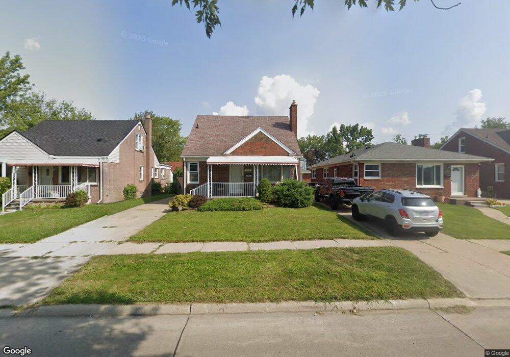
720 Moran Ave Lincoln Park, MI 48146
Estimated Value: $174,694 - $217,000
3
Beds
1
Bath
1,400
Sq Ft
$142/Sq Ft
Est. Value
About This Home
This home is located at 720 Moran Ave, Lincoln Park, MI 48146 and is currently estimated at $198,674, approximately $141 per square foot. 720 Moran Ave is a home located in Wayne County with nearby schools including Earl F. Carr School, Lincoln Park Middle School, and Lincoln Park High School.
Ownership History
Date
Name
Owned For
Owner Type
Purchase Details
Closed on
Mar 27, 2009
Sold by
Romas Jeffrey J
Bought by
Baker Louis Joffery
Current Estimated Value
Purchase Details
Closed on
Jun 23, 1994
Sold by
Stults Charles D
Bought by
Charles D Stults
Home Financials for this Owner
Home Financials are based on the most recent Mortgage that was taken out on this home.
Original Mortgage
$54,500
Interest Rate
8.61%
Mortgage Type
New Conventional
Create a Home Valuation Report for This Property
The Home Valuation Report is an in-depth analysis detailing your home's value as well as a comparison with similar homes in the area
Home Values in the Area
Average Home Value in this Area
Purchase History
| Date | Buyer | Sale Price | Title Company |
|---|---|---|---|
| Baker Louis Joffery | $79,900 | Michigan Title Insurance Age | |
| Charles D Stults | $77,000 | -- |
Source: Public Records
Mortgage History
| Date | Status | Borrower | Loan Amount |
|---|---|---|---|
| Previous Owner | Charles D Stults | $54,500 |
Source: Public Records
Tax History Compared to Growth
Tax History
| Year | Tax Paid | Tax Assessment Tax Assessment Total Assessment is a certain percentage of the fair market value that is determined by local assessors to be the total taxable value of land and additions on the property. | Land | Improvement |
|---|---|---|---|---|
| 2025 | $1,878 | $85,000 | $0 | $0 |
| 2024 | $1,878 | $75,800 | $0 | $0 |
| 2023 | $1,781 | $69,800 | $0 | $0 |
| 2022 | $2,103 | $62,700 | $0 | $0 |
| 2021 | $2,058 | $59,600 | $0 | $0 |
| 2020 | $2,043 | $60,400 | $0 | $0 |
| 2019 | $1,614 | $45,700 | $0 | $0 |
| 2018 | $1,453 | $42,100 | $0 | $0 |
| 2017 | $1,046 | $38,700 | $0 | $0 |
| 2016 | $1,870 | $36,000 | $0 | $0 |
| 2015 | $3,470 | $34,700 | $0 | $0 |
| 2013 | $3,570 | $36,500 | $0 | $0 |
| 2012 | $2,197 | $38,300 | $7,000 | $31,300 |
Source: Public Records
Map
Nearby Homes
- 653 Leblanc St
- 788 Ford Blvd
- 573 Leblanc St
- 707 Ford Blvd
- 879 Highland Ave
- 893 Leblanc St
- 808 Kings Hwy
- 944 Ford Blvd
- 367 Shore Dr
- 973 Ford Blvd
- 1018 Riverbank St
- 912 River Ct
- 936 Cloverlawn Blvd
- 963 Winchester Ave
- 489 River Ct
- 986 Cloverlawn Blvd
- 300 Riverside Dr
- 301 Riverside Dr
- 520 New York Ave
- 1088 Ford Blvd
- 724 Moran Ave
- 714 Moran Ave
- 708 Moran Ave
- 704 Moran Ave
- 719 Riverbank St
- 713 Riverbank St
- 723 Riverbank St
- 756 Moran Ave
- 707 Riverbank St
- 680 Moran Ave
- 679 Moran Ave
- 719 Moran Ave
- 723 Moran Ave
- 713 Moran Ave
- 703 Riverbank St
- 762 Moran Ave
- 707 Moran Ave
- 755 Riverbank St
- 674 Moran Ave
- 679 Riverbank St