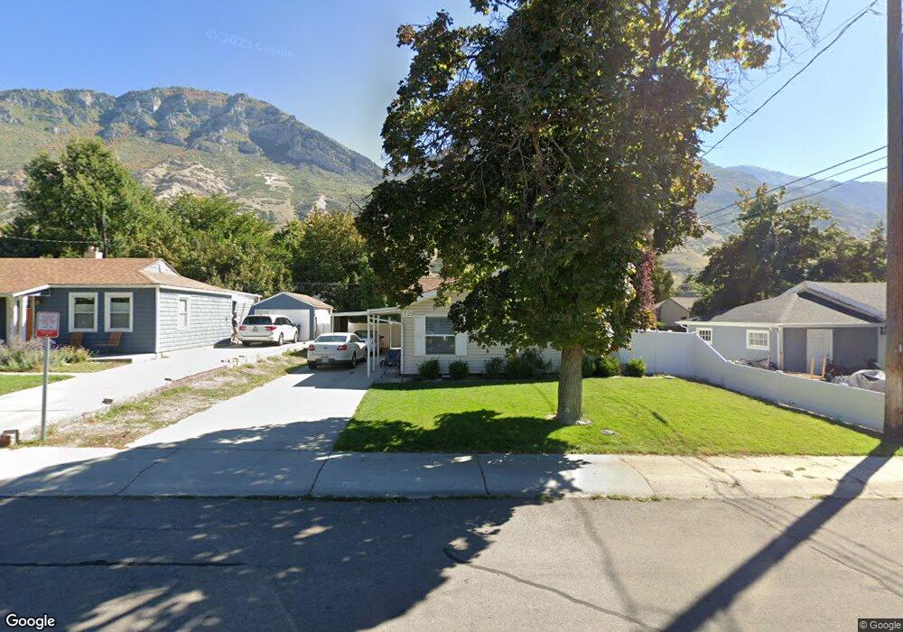
720 N 1100 E Provo, UT 84606
Foot Hills NeighborhoodEstimated Value: $438,000 - $459,871
3
Beds
2
Baths
1,294
Sq Ft
$345/Sq Ft
Est. Value
About This Home
This home is located at 720 N 1100 E, Provo, UT 84606 and is currently estimated at $446,290, approximately $344 per square foot. 720 N 1100 E is a home located in Utah County with nearby schools including Wasatch Elementary School, Centennial Middle School, and Timpview High School.
Ownership History
Date
Name
Owned For
Owner Type
Purchase Details
Closed on
Apr 7, 2017
Sold by
Rode Hugh J and Rode Chris M
Bought by
Rm Medougal Lp
Current Estimated Value
Purchase Details
Closed on
Jul 11, 2008
Sold by
Mcclellan E Louis
Bought by
Turner Emma L
Home Financials for this Owner
Home Financials are based on the most recent Mortgage that was taken out on this home.
Original Mortgage
$143,500
Interest Rate
6.04%
Mortgage Type
Purchase Money Mortgage
Create a Home Valuation Report for This Property
The Home Valuation Report is an in-depth analysis detailing your home's value as well as a comparison with similar homes in the area
Home Values in the Area
Average Home Value in this Area
Purchase History
| Date | Buyer | Sale Price | Title Company |
|---|---|---|---|
| Rm Medougal Lp | -- | United West Title | |
| Turner Emma L | -- | Mountain West Title Company |
Source: Public Records
Mortgage History
| Date | Status | Borrower | Loan Amount |
|---|---|---|---|
| Previous Owner | Turner Emma L | $143,500 |
Source: Public Records
Tax History
| Year | Tax Paid | Tax Assessment Tax Assessment Total Assessment is a certain percentage of the fair market value that is determined by local assessors to be the total taxable value of land and additions on the property. | Land | Improvement |
|---|---|---|---|---|
| 2025 | $2,225 | $234,080 | -- | -- |
| 2024 | $2,256 | $219,065 | $0 | $0 |
| 2023 | $2,256 | $218,955 | $0 | $0 |
| 2022 | $2,121 | $207,515 | $0 | $0 |
| 2021 | $1,536 | $262,200 | $107,000 | $155,200 |
| 2020 | $1,490 | $238,400 | $97,300 | $141,100 |
| 2019 | $1,422 | $236,600 | $97,300 | $139,300 |
| 2018 | $1,264 | $213,300 | $90,800 | $122,500 |
| 2017 | $1,160 | $107,525 | $0 | $0 |
| 2016 | $1,043 | $90,145 | $0 | $0 |
| 2015 | $964 | $84,205 | $0 | $0 |
| 2014 | $925 | $84,205 | $0 | $0 |
Source: Public Records
Map
Nearby Homes
- 532 N Seven Peaks Blvd Unit 302
- 907 E 820 N Unit 11
- 635 N Ridge Dr Unit 25
- 785 E 560 N Unit 405
- 737 E 750 N Unit 1
- 1051 E 300 N
- 362 N 800 E
- 1040 N Oakmont Ln
- 1205 N Old Willow Ln
- 1215 N Terrace Dr
- 905 N Terrace Dr
- 990 Cedar Ave
- 864 E 200 N
- 541 E 500 N Unit 12
- 1411 N Locust Ln
- 386 N 500 E
- 364 N 500 E
- 240 N 500 East St
- 394 N 300 E
- 433 N 300 E
Your Personal Tour Guide
Ask me questions while you tour the home.