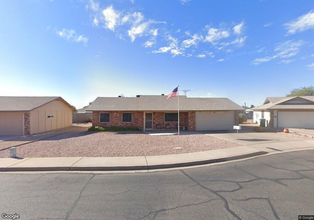
720 N 65th Way Mesa, AZ 85205
Central Mesa East NeighborhoodEstimated Value: $300,000 - $323,000
Studio
2
Baths
1,168
Sq Ft
$267/Sq Ft
Est. Value
About This Home
This home is located at 720 N 65th Way, Mesa, AZ 85205 and is currently estimated at $311,670, approximately $266 per square foot. 720 N 65th Way is a home located in Maricopa County with nearby schools including Salk Elementary School, Franklin at Brimhall Elementary School, and Franklin West Elementary School.
Ownership History
Date
Name
Owned For
Owner Type
Purchase Details
Closed on
Feb 26, 2020
Sold by
Vasselin Phyllis B and The Phyllis B Vasselin Living
Bought by
Bonbright George E and Bonbright Heidi
Current Estimated Value
Purchase Details
Closed on
Aug 28, 2015
Sold by
Vasselin Phyllis B
Bought by
Vasselin Phyllis B and Phyllis B Vasselin Living Trus
Purchase Details
Closed on
Oct 18, 2012
Sold by
Vasselin Norman J
Bought by
Vasselin Phyllis B
Create a Home Valuation Report for This Property
The Home Valuation Report is an in-depth analysis detailing your home's value as well as a comparison with similar homes in the area
Home Values in the Area
Average Home Value in this Area
Purchase History
| Date | Buyer | Sale Price | Title Company |
|---|---|---|---|
| Bonbright George E | $179,000 | Clear Title Agency Of Az | |
| Vasselin Phyllis B | -- | None Available | |
| Vasselin Phyllis B | -- | None Available | |
| Vasselin Phyllis B | -- | None Available |
Source: Public Records
Tax History
| Year | Tax Paid | Tax Assessment Tax Assessment Total Assessment is a certain percentage of the fair market value that is determined by local assessors to be the total taxable value of land and additions on the property. | Land | Improvement |
|---|---|---|---|---|
| 2025 | $1,087 | $11,759 | -- | -- |
| 2024 | $1,102 | $11,199 | -- | -- |
| 2023 | $1,102 | $23,280 | $4,650 | $18,630 |
| 2022 | $1,070 | $17,420 | $3,480 | $13,940 |
| 2021 | $1,068 | $16,280 | $3,250 | $13,030 |
| 2020 | $1,058 | $13,860 | $2,770 | $11,090 |
| 2019 | $830 | $12,220 | $2,440 | $9,780 |
| 2018 | $807 | $11,260 | $2,250 | $9,010 |
| 2017 | $780 | $10,230 | $2,040 | $8,190 |
| 2016 | $733 | $9,660 | $1,930 | $7,730 |
| 2015 | $714 | $9,630 | $1,920 | $7,710 |
Source: Public Records
Map
Nearby Homes
- 6522 E Adobe Rd
- 6713 E Des Moines St
- 643 N 67th Place
- 635 N 67th Place
- 6740 E Adobe St
- 6610 E University Dr Unit 111
- 6610 E University Dr Unit 55
- 6610 E University Dr Unit 43
- 6730 E El Paso St
- 6458 E Elmwood St
- 6710 E University Dr Unit 130
- 6231 E Ellis St
- 6454 E University Dr Unit 8
- 6218 E Dodge St
- 6720 E Encanto St Unit 20
- 6720 E Encanto St Unit 60
- 6222 E El Paso St
- 6441 E Butte St
- 6304 E Fairfield St
- 6335 E Brown Rd Unit 1083
- 712 N 65th Way
- 723 N 65th Place
- 724 N 65th Way
- 6547 E Dodge St
- 731 N 65th Place
- 704 N 65th Way
- 6536 E Dodge St
- 669 N 65th Place
- 707 N 65th Place
- 6555 E Dodge St
- 741 N 65th Place
- 739 N 65th Place
- 726 N 65th Place
- 716 N 65th Place
- 6554 E Dallas St
- 6556 E Dodge St
- 6545 E Adobe Rd
- 734 N 65th Place
- 6541 E Adobe Rd
- 708 N 65th Place
Your Personal Tour Guide
Ask me questions while you tour the home.