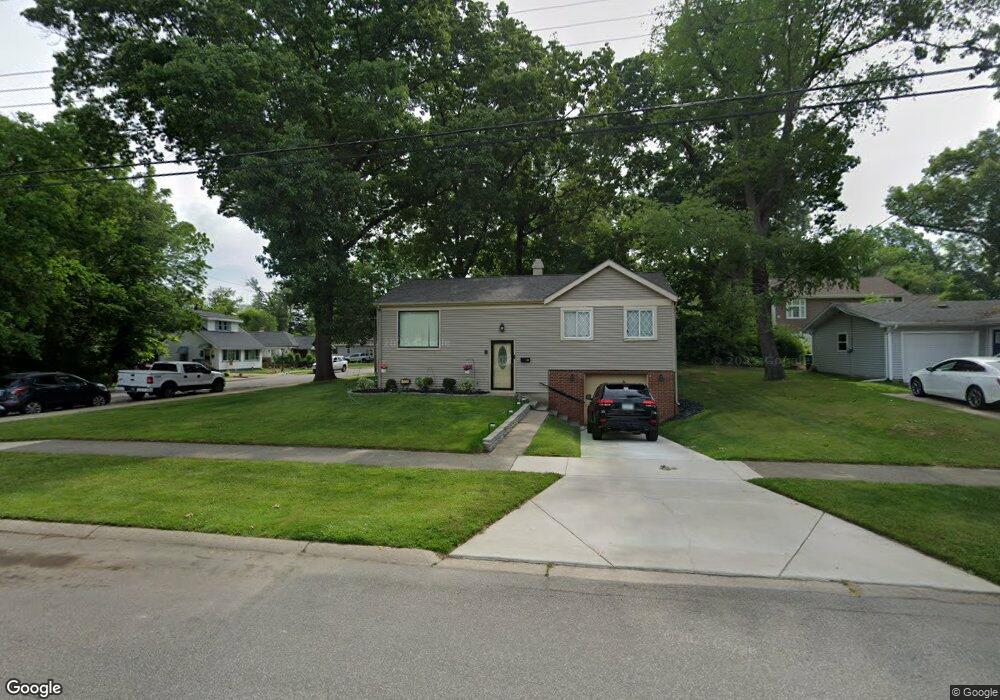
720 N Jacob St South Bend, IN 46617
Northeast South Bend NeighborhoodEstimated Value: $191,000 - $224,000
3
Beds
3
Baths
1,040
Sq Ft
$201/Sq Ft
Est. Value
About This Home
This home is located at 720 N Jacob St, South Bend, IN 46617 and is currently estimated at $208,810, approximately $200 per square foot. 720 N Jacob St is a home located in St. Joseph County with nearby schools including Nuner Fine Arts Academy, Clay Intermediate Center, and Edison Middle School.
Ownership History
Date
Name
Owned For
Owner Type
Purchase Details
Closed on
Jun 29, 2005
Sold by
Hannah Andrie M and Hannah Linda A
Bought by
Pitts George J
Current Estimated Value
Home Financials for this Owner
Home Financials are based on the most recent Mortgage that was taken out on this home.
Original Mortgage
$58,000
Outstanding Balance
$30,453
Interest Rate
5.75%
Mortgage Type
Credit Line Revolving
Estimated Equity
$178,357
Create a Home Valuation Report for This Property
The Home Valuation Report is an in-depth analysis detailing your home's value as well as a comparison with similar homes in the area
Home Values in the Area
Average Home Value in this Area
Purchase History
| Date | Buyer | Sale Price | Title Company |
|---|---|---|---|
| Pitts George J | -- | Hold For Meridian Title Corp |
Source: Public Records
Mortgage History
| Date | Status | Borrower | Loan Amount |
|---|---|---|---|
| Open | Pitts George J | $58,000 |
Source: Public Records
Tax History Compared to Growth
Tax History
| Year | Tax Paid | Tax Assessment Tax Assessment Total Assessment is a certain percentage of the fair market value that is determined by local assessors to be the total taxable value of land and additions on the property. | Land | Improvement |
|---|---|---|---|---|
| 2024 | $1,592 | $152,900 | $17,000 | $135,900 |
| 2023 | $1,549 | $134,900 | $17,000 | $117,900 |
| 2022 | $1,306 | $113,900 | $17,000 | $96,900 |
| 2021 | $1,119 | $95,600 | $11,600 | $84,000 |
| 2020 | $654 | $57,400 | $14,100 | $43,300 |
| 2019 | $613 | $57,400 | $14,100 | $43,300 |
| 2018 | $640 | $58,000 | $14,100 | $43,900 |
| 2017 | $638 | $56,600 | $14,100 | $42,500 |
| 2016 | $646 | $56,600 | $14,100 | $42,500 |
| 2014 | $509 | $48,900 | $14,100 | $34,800 |
Source: Public Records
Map
Nearby Homes
- 1334 Chalfant St
- 735 N Twyckenham Dr
- 1123 N Twyckenham Dr
- 1454 Sorin St
- 606 N Twyckenham Dr
- 1303 Sorin St
- 1253 Corby Blvd Unit A
- 1253 Corby Blvd Unit B
- 905 White Oak Dr
- 1229 Miner St
- 1222 Miner St
- 1005 White Oak Dr
- 509 N Arthur St
- 1519 Mckinley Ave
- 1522 Mckinley Ave
- 302 Walsh St
- 602 N Frances St
- 316 Howard St
- 421 N Eddy (Lot 1) St Unit Lot 1
- 469 N Eddy (Lot 25) St Unit lot 25
- 714 N Jacob St
- 1417 Woodcrest Dr
- 1418 Woodcrest Dr
- 1358 Chalfant St
- 706 N Jacob St
- 1415 Chalfant St
- 1354 Chalfant St
- 1417 Chalfant St
- 1357 Bissell St
- 744 N Jacob St
- 1425 Woodcrest Dr
- 1422 Woodcrest Dr
- 1353 Bissell St
- 1350 Chalfant St
- 1421 Chalfant St
- 1414 Campeau St
- 1430 Woodcrest Dr
- 1346 Chalfant St
- 1433 Woodcrest Dr
- 612 N Jacob St