Estimated Value: $321,000 - $382,000
3
Beds
1
Bath
1,480
Sq Ft
$232/Sq Ft
Est. Value
About This Home
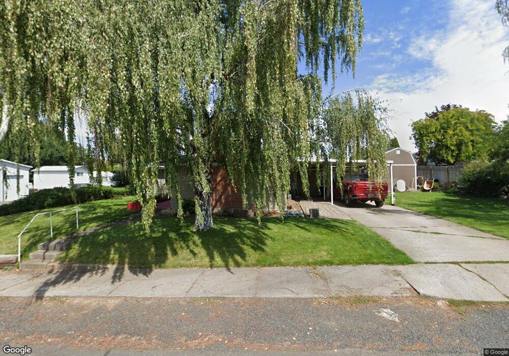
This home is located at 720 NE 2nd St, Dufur, OR 97021 and is currently estimated at $343,675, approximately $232 per square foot. 720 NE 2nd St is a home located in Wasco County with nearby schools including Dufur School.
Ownership History
Date
Name
Owned For
Owner Type
Purchase Details
Closed on
May 7, 2019
Sold by
Lindhorst Rachel J
Bought by
Lindhorst Shawn H
Current Estimated Value
Purchase Details
Closed on
Oct 13, 2005
Sold by
Lindhorst Rachel J
Bought by
Lindhorst Rachel J and Lindhorst Shawn H
Home Financials for this Owner
Home Financials are based on the most recent Mortgage that was taken out on this home.
Original Mortgage
$19,000
Interest Rate
5.25%
Mortgage Type
Stand Alone Second
Create a Home Valuation Report for This Property
The Home Valuation Report is an in-depth analysis detailing your home's value as well as a comparison with similar homes in the area
Home Values in the Area
Average Home Value in this Area
Purchase History
| Date | Buyer | Sale Price | Title Company |
|---|---|---|---|
| Lindhorst Shawn H | -- | Lawyers Title | |
| Lindhorst Rachel J | -- | -- |
Source: Public Records
Mortgage History
| Date | Status | Borrower | Loan Amount |
|---|---|---|---|
| Closed | Lindhorst Rachel J | $19,000 |
Source: Public Records
Tax History Compared to Growth
Tax History
| Year | Tax Paid | Tax Assessment Tax Assessment Total Assessment is a certain percentage of the fair market value that is determined by local assessors to be the total taxable value of land and additions on the property. | Land | Improvement |
|---|---|---|---|---|
| 2024 | $1,875 | $119,613 | -- | -- |
| 2023 | $1,820 | $116,130 | $0 | $0 |
| 2022 | $1,772 | $157,136 | $0 | $0 |
| 2021 | $1,694 | $152,559 | $0 | $0 |
| 2020 | $1,686 | $148,116 | $0 | $0 |
| 2019 | $1,625 | $143,802 | $0 | $0 |
| 2018 | $1,407 | $100,176 | $0 | $0 |
| 2017 | $1,541 | $97,258 | $0 | $0 |
| 2016 | $1,553 | $94,425 | $0 | $0 |
Source: Public Records
Map
Nearby Homes
- 10 NE Klinger St
- 315 NE 3rd St
- 520 NE 6th St
- 340 NE 7th St
- 552 Williams St
- 381 NW Main St
- 910 Toll Rd
- 211 NW Heisler St
- 0 Burtner Rd
- 5331 Dolan Rd
- 5401 Upper Five Mile Rd
- 80357 S Valley Rd
- 80165 Ridgetop Rd
- 2018 Steele Rd
- 0 Emerson Loop Rd Unit 444664447
- 0 Friend Rd Unit 23907473
- 0 Friend Rd Unit 23907475
- 0 Friend Rd Unit 735468339
- 0 Friend Rd Unit 375267035
- 0 Friend Rd Unit 11518394
- 770 NE 2nd St
- 670 NE 2nd St
- 265 NE Klinger St
- 160 NE College St
- 285 NE College St
- 775 NE 2nd St
- 630 NE 2nd St
- 310 NE College St
- 710 NE 1st St
- 260 NE Klinger St
- 655 NE 2nd St
- 101 Klinger St
- 625 NE 3rd St
- 835 NE 2nd St
- 680 NE 3rd St
- 141 NE College St
- 627 NE 2nd St
- 101 NE Klinger St
- 810 NE 3rd St
- 315 NE Klinger St