720 New Forest Rd Young Harris, GA 30582
Estimated Value: $568,629 - $744,000
--
Bed
--
Bath
2,110
Sq Ft
$318/Sq Ft
Est. Value
About This Home
This home is located at 720 New Forest Rd, Young Harris, GA 30582 and is currently estimated at $670,157, approximately $317 per square foot. 720 New Forest Rd is a home with nearby schools including Towns County Elementary School, Towns County Middle School, and Towns County High School.
Ownership History
Date
Name
Owned For
Owner Type
Purchase Details
Closed on
Feb 15, 2022
Sold by
Carter Rosamonde F
Bought by
Fletcher Juanita C
Current Estimated Value
Purchase Details
Closed on
Jun 12, 2020
Sold by
Carter Rosamonde F
Bought by
Fletcher Anita C and Carter Rosamonde F
Purchase Details
Closed on
Mar 14, 2019
Sold by
Snider Charles E
Bought by
Carter Rosamonde F
Purchase Details
Closed on
Apr 28, 2014
Sold by
Mickey Susan C
Bought by
Snider Charles Everett
Purchase Details
Closed on
Nov 15, 2011
Sold by
Edwards Carl
Bought by
Mickey Susan C and Sisson Jack D
Create a Home Valuation Report for This Property
The Home Valuation Report is an in-depth analysis detailing your home's value as well as a comparison with similar homes in the area
Home Values in the Area
Average Home Value in this Area
Purchase History
| Date | Buyer | Sale Price | Title Company |
|---|---|---|---|
| Fletcher Juanita C | -- | -- | |
| Fletcher Anita C | -- | -- | |
| Carter Rosamonde F | $387,500 | -- | |
| Snider Charles Everett | $27,000 | -- | |
| Mickey Susan C | $12,950 | -- |
Source: Public Records
Tax History Compared to Growth
Tax History
| Year | Tax Paid | Tax Assessment Tax Assessment Total Assessment is a certain percentage of the fair market value that is determined by local assessors to be the total taxable value of land and additions on the property. | Land | Improvement |
|---|---|---|---|---|
| 2024 | $2,184 | $232,620 | $36,000 | $196,620 |
| 2023 | $2,309 | $218,783 | $36,000 | $182,783 |
| 2022 | $2,309 | $197,058 | $36,000 | $161,058 |
| 2021 | $2,110 | $175,020 | $36,000 | $139,020 |
| 2020 | $2,033 | $158,635 | $32,000 | $126,635 |
| 2019 | $1,575 | $120,951 | $19,000 | $101,951 |
| 2018 | $412 | $30,860 | $19,000 | $11,860 |
| 2017 | $263 | $19,000 | $19,000 | $0 |
| 2016 | $332 | $24,000 | $24,000 | $0 |
| 2015 | $151 | $11,200 | $11,200 | $0 |
| 2014 | $170 | $12,000 | $12,000 | $0 |
| 2013 | -- | $6,000 | $6,000 | $0 |
Source: Public Records
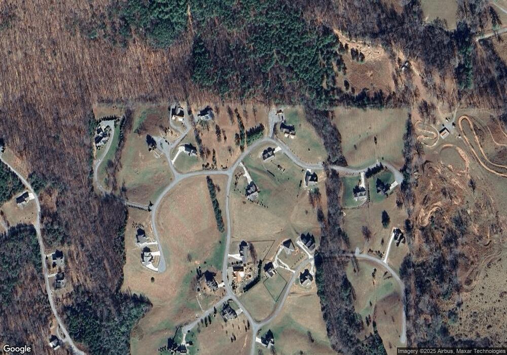
Map
Nearby Homes
- 85 Minstead Ridge
- 115 Bramshaw Ct
- Lot 52 the Preserve at Cc
- Lot 51 the Preserve at Cc
- 2408 Standing Meadows Dr
- Lot 27 Standing Meadow Dr
- Lt 27 Standing Meadow Dr
- 6303 Murphy Rd
- 2092 Wood Lake Ln
- 2086 Wood Lake Ln
- Lot 1 Mirandi Dr
- Lot 4 Mirandi Dr
- 2087 Wood Lake Ln
- 6961 Wood Lake Cir
- 6491 Crooked Creek Rd
- 1801 Bassett Ln
- 1774 Settlement Rd
- 788 New Forest Rd
- 35 The Preserve
- 20 Brockenhurst Dr
- 38 Brockenhurst
- 0 Bramshaw Ct Unit 8224431
- 0 Bramshaw Ct Unit Lot 29 8658733
- 0 Bramshaw Ct Unit Lot 29
- 40 Brockenhurst
- 40 Brockenhurst Unit 41
- 40 Brockenhurst Unit 41
- 40 Brockenhurst
- 40 Brockenhurst
- 40 Brockenhurst
- 40 Brockenhurst
- 40 Brockenhurst Unit 41
- 572 New Forest Rd
- 573 New Forest Rd
- 83 Minstead Ridge
- LT 75 Minstead Ridge
- 43 Brockenhurst Close