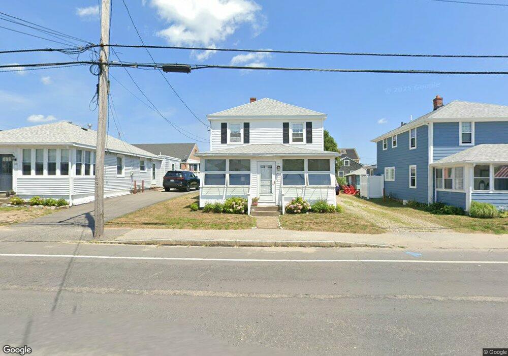
720 Ocean St Marshfield, MA 02050
Ocean Bluff-Brant Rock NeighborhoodEstimated Value: $643,983 - $740,000
4
Beds
2
Baths
1,264
Sq Ft
$553/Sq Ft
Est. Value
About This Home
This home is located at 720 Ocean St, Marshfield, MA 02050 and is currently estimated at $698,746, approximately $552 per square foot. 720 Ocean St is a home with nearby schools including Daniel Webster, Furnace Brook Middle School, and Marshfield High School.
Ownership History
Date
Name
Owned For
Owner Type
Purchase Details
Closed on
Feb 27, 2023
Sold by
Toomey Joanne E and Toomey Mary V
Bought by
Toomey Joanne E and Toomey Mary V
Current Estimated Value
Purchase Details
Closed on
Oct 20, 2006
Sold by
Toomey Joseph P
Bought by
Toomey Joanne E and Toomey Mary V
Create a Home Valuation Report for This Property
The Home Valuation Report is an in-depth analysis detailing your home's value as well as a comparison with similar homes in the area
Home Values in the Area
Average Home Value in this Area
Purchase History
| Date | Buyer | Sale Price | Title Company |
|---|---|---|---|
| Toomey Joanne E | -- | None Available | |
| Toomey Joanne E | -- | None Available | |
| Toomey Joanne E | -- | -- | |
| Toomey Joseph P | -- | -- | |
| Toomey Joanne E | -- | -- |
Source: Public Records
Mortgage History
| Date | Status | Borrower | Loan Amount |
|---|---|---|---|
| Previous Owner | Toomey Joanne E | $31,000 |
Source: Public Records
Tax History
| Year | Tax Paid | Tax Assessment Tax Assessment Total Assessment is a certain percentage of the fair market value that is determined by local assessors to be the total taxable value of land and additions on the property. | Land | Improvement |
|---|---|---|---|---|
| 2025 | $5,775 | $583,300 | $369,100 | $214,200 |
| 2024 | $5,650 | $543,800 | $349,700 | $194,100 |
| 2023 | $5,265 | $465,100 | $303,000 | $162,100 |
| 2022 | $4,848 | $374,400 | $242,800 | $131,600 |
| 2021 | $4,864 | $368,800 | $242,800 | $126,000 |
| 2020 | $4,843 | $363,300 | $242,800 | $120,500 |
| 2019 | $4,787 | $357,800 | $242,800 | $115,000 |
| 2018 | $4,265 | $319,000 | $204,000 | $115,000 |
| 2017 | $4,239 | $309,000 | $204,000 | $105,000 |
| 2016 | $4,228 | $304,600 | $204,000 | $100,600 |
| 2015 | $3,918 | $294,800 | $194,300 | $100,500 |
| 2014 | $3,959 | $297,900 | $204,000 | $93,900 |
Source: Public Records
Map
Nearby Homes
- 722 Ocean St
- 716 Ocean St
- 728 Ocean St
- 29 5th Rd
- 29 5th Rd Unit 1
- 29 5th Rd
- 28 4th Rd
- 29 5 Th Road Winter Rental
- 29 5th Rd (Winter Rental)
- 710 Ocean St
- 25 5th Rd
- 25 5th Rd Unit 1
- 25 5th Rd
- 25 5th Road (Winter Rental )
- 719 Ocean St
- 25 5th Road (Weekly Rental)
- 715 Ocean St
- 723 Ocean St
- 729 Ocean St
- 24 4th Rd
Your Personal Tour Guide
Ask me questions while you tour the home.