720 Redding Rd Redding, CT 06896
Estimated Value: $698,831 - $830,000
4
Beds
3
Baths
1,650
Sq Ft
$447/Sq Ft
Est. Value
About This Home
This home is located at 720 Redding Rd, Redding, CT 06896 and is currently estimated at $737,458, approximately $446 per square foot. 720 Redding Rd is a home located in Fairfield County with nearby schools including Redding Elementary School, John Read Middle School, and Joel Barlow High School.
Ownership History
Date
Name
Owned For
Owner Type
Purchase Details
Closed on
Aug 4, 2016
Sold by
Ranaldi Melissa
Bought by
Kessler Damien
Current Estimated Value
Purchase Details
Closed on
Aug 14, 2003
Sold by
Hedges Susan
Bought by
Kessler Damien and Kessler Thelissa
Purchase Details
Closed on
Nov 30, 1999
Sold by
Kaishian Matthew Y and Kaishian Valerie
Bought by
Bajpai Pankaj and Hedges Susan
Create a Home Valuation Report for This Property
The Home Valuation Report is an in-depth analysis detailing your home's value as well as a comparison with similar homes in the area
Home Values in the Area
Average Home Value in this Area
Purchase History
| Date | Buyer | Sale Price | Title Company |
|---|---|---|---|
| Kessler Damien | -- | -- | |
| Kessler Damien | $515,000 | -- | |
| Bajpai Pankaj | $350,000 | -- |
Source: Public Records
Mortgage History
| Date | Status | Borrower | Loan Amount |
|---|---|---|---|
| Previous Owner | Bajpai Pankaj | $236,000 | |
| Previous Owner | Bajpai Pankaj | $255,000 |
Source: Public Records
Tax History
| Year | Tax Paid | Tax Assessment Tax Assessment Total Assessment is a certain percentage of the fair market value that is determined by local assessors to be the total taxable value of land and additions on the property. | Land | Improvement |
|---|---|---|---|---|
| 2025 | $10,791 | $365,300 | $148,400 | $216,900 |
| 2024 | $10,491 | $365,300 | $148,400 | $216,900 |
| 2023 | $10,115 | $365,300 | $148,400 | $216,900 |
| 2022 | $9,552 | $286,500 | $159,600 | $126,900 |
| 2021 | $11,543 | $286,500 | $159,600 | $126,900 |
| 2020 | $11,214 | $286,500 | $159,600 | $126,900 |
| 2019 | $11,289 | $286,500 | $159,600 | $126,900 |
| 2018 | $9,088 | $286,500 | $159,600 | $126,900 |
| 2017 | $12,283 | $290,800 | $160,000 | $130,800 |
| 2016 | $8,503 | $290,800 | $160,000 | $130,800 |
| 2015 | $8,407 | $290,800 | $160,000 | $130,800 |
| 2014 | $8,407 | $290,800 | $160,000 | $130,800 |
Source: Public Records
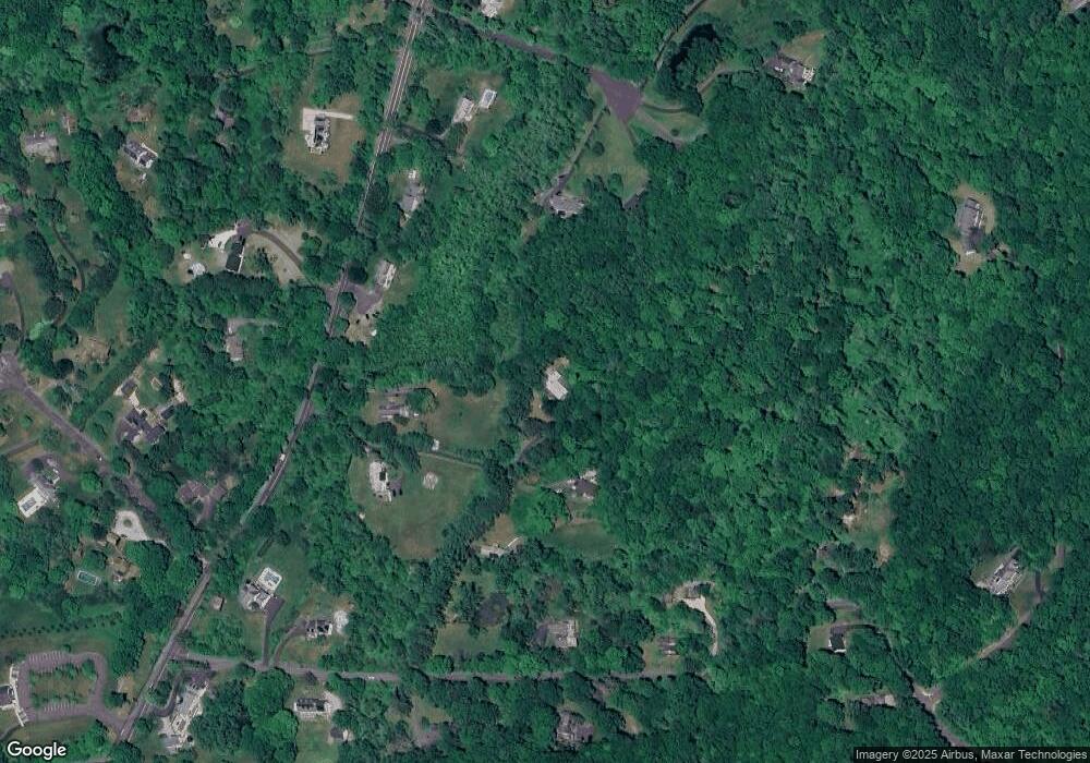
Map
Nearby Homes
- 9 New Light Dr
- 9 Chuck Wagon Ln
- 24 Costa Ln
- 41 Turkey Plain Rd
- 193 Chestnut Ridge Rd
- 2 Brick School Dr
- 134 Nashville Rd
- 173 Chestnut Ridge Rd
- 155 Long Ridge Rd
- 151 Long Ridge Rd
- 21 Wicks Manor Dr
- 2 Longwood Dr
- 18 Goodhill Rd
- 229 Umpawaug Rd
- 138 Putnam Park Rd
- 4 Bailey Blvd Unit 4
- 3 Bailey Blvd Unit 3
- 3 Whitlock Ave
- 12 Werf Dr
- 71 Picketts Ridge Rd
Your Personal Tour Guide
Ask me questions while you tour the home.