Estimated Value: $575,000 - $722,000
4
Beds
3
Baths
3,040
Sq Ft
$216/Sq Ft
Est. Value
About This Home
This home is located at 720 Rich Davis Rd Unit A, Hiram, GA 30141 and is currently estimated at $655,274, approximately $215 per square foot. 720 Rich Davis Rd Unit A is a home located in Paulding County with nearby schools including Sam D. Panter Elementary School, J. A. Dobbins Middle School, and Hiram High School.
Ownership History
Date
Name
Owned For
Owner Type
Purchase Details
Closed on
Jul 30, 2021
Sold by
Merritt John J
Bought by
Sheldon Jonathan Peter
Current Estimated Value
Home Financials for this Owner
Home Financials are based on the most recent Mortgage that was taken out on this home.
Original Mortgage
$655,000
Outstanding Balance
$595,598
Interest Rate
2.9%
Mortgage Type
VA
Estimated Equity
$59,676
Purchase Details
Closed on
Aug 22, 2016
Sold by
Janet D
Bought by
Merritt John J and Merritt Kimberly L
Home Financials for this Owner
Home Financials are based on the most recent Mortgage that was taken out on this home.
Original Mortgage
$332,500
Interest Rate
3.45%
Mortgage Type
New Conventional
Purchase Details
Closed on
Oct 22, 2012
Sold by
Marshall Anthony Ford Estate
Purchase Details
Closed on
Dec 28, 2010
Sold by
Federal Natl Mtg Assn Fnma
Bought by
Marshall Janet D and Marshall Anthony F
Purchase Details
Closed on
Mar 2, 2010
Sold by
Suntrust Mtg Inc
Bought by
Federal Natl Mtg Assn Fnma
Purchase Details
Closed on
Mar 24, 2008
Sold by
Roquemore Tara L
Bought by
Roquemore Tara L
Home Financials for this Owner
Home Financials are based on the most recent Mortgage that was taken out on this home.
Original Mortgage
$293,000
Interest Rate
5.68%
Mortgage Type
New Conventional
Purchase Details
Closed on
Sep 25, 2006
Sold by
Gentry Marty R
Bought by
Gentry Tara L
Home Financials for this Owner
Home Financials are based on the most recent Mortgage that was taken out on this home.
Original Mortgage
$286,600
Interest Rate
6.46%
Mortgage Type
New Conventional
Purchase Details
Closed on
May 10, 2005
Sold by
Roquemore John R
Bought by
Gentry Tara L and Gentry Marty
Home Financials for this Owner
Home Financials are based on the most recent Mortgage that was taken out on this home.
Original Mortgage
$226,900
Interest Rate
5.98%
Mortgage Type
New Conventional
Create a Home Valuation Report for This Property
The Home Valuation Report is an in-depth analysis detailing your home's value as well as a comparison with similar homes in the area
Home Values in the Area
Average Home Value in this Area
Purchase History
| Date | Buyer | Sale Price | Title Company |
|---|---|---|---|
| Sheldon Jonathan Peter | $655,000 | -- | |
| Merritt John J | $350,000 | -- | |
| Marshall Janet D | -- | -- | |
| -- | -- | -- | |
| Marshall Janet D | -- | -- | |
| Federal Natl Mtg Assn Fnma | -- | -- | |
| Suntrust Mtg Inc | $298,875 | -- | |
| Roquemore Tara L | -- | -- | |
| Gentry Tara L | -- | -- | |
| Gentry Tara L | -- | -- |
Source: Public Records
Mortgage History
| Date | Status | Borrower | Loan Amount |
|---|---|---|---|
| Open | Sheldon Jonathan Peter | $655,000 | |
| Previous Owner | Marshall Janet D | $332,500 | |
| Previous Owner | Roquemore Tara L | $293,000 | |
| Previous Owner | Gentry Tara L | $286,600 | |
| Previous Owner | Gentry Tara L | $226,900 |
Source: Public Records
Tax History Compared to Growth
Tax History
| Year | Tax Paid | Tax Assessment Tax Assessment Total Assessment is a certain percentage of the fair market value that is determined by local assessors to be the total taxable value of land and additions on the property. | Land | Improvement |
|---|---|---|---|---|
| 2024 | $6,228 | $250,352 | $36,040 | $214,312 |
| 2023 | $6,061 | $232,492 | $35,120 | $197,372 |
| 2022 | $5,528 | $212,036 | $29,240 | $182,796 |
| 2021 | $4,694 | $161,540 | $12,080 | $149,460 |
| 2020 | $4,386 | $147,660 | $11,400 | $136,260 |
| 2019 | $4,096 | $135,964 | $12,080 | $123,884 |
| 2018 | $3,929 | $130,400 | $10,640 | $119,760 |
| 2017 | $3,359 | $109,952 | $10,200 | $99,752 |
| 2016 | $1,692 | $88,080 | $10,200 | $77,880 |
| 2015 | $1,635 | $83,480 | $10,000 | $73,480 |
| 2014 | $1,521 | $75,640 | $9,200 | $66,440 |
| 2013 | -- | $66,520 | $10,120 | $56,400 |
Source: Public Records
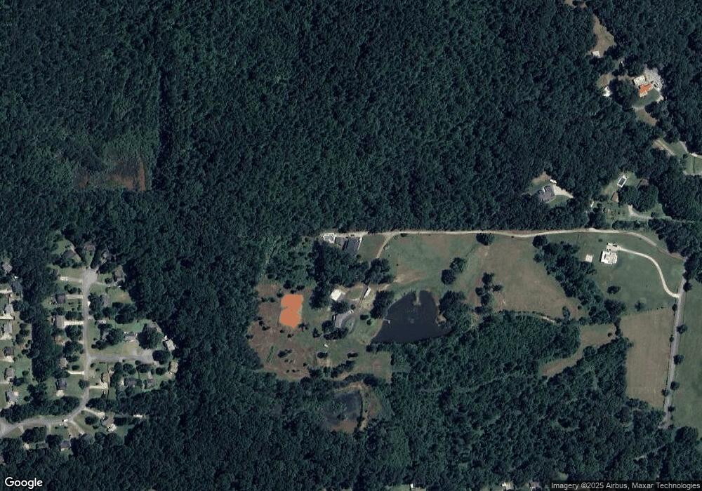
Map
Nearby Homes
- 129 Fawn Trail
- 1379 Rich Davis Rd
- 552 Rich Davis Rd
- 83 Shipp Cir
- 3124 Hiram Sudie Rd
- 124 Lynn Dr
- 617 Kyles Cir
- 493 Kyles Cir
- 6488 Nebo Rd
- 122 Hale Mountain Ct
- 138 Gorham Gates Dr
- 7012 Nebo Rd
- 133 Willow Bend Dr
- 149 Willow Bend Dr
- 31 Trayton Way
- 2393 Bill Carruth Pkwy
- 133 Willow Bend Rd
- 426 Old Sudie Rd
- 720 Rich Davis Rd
- 722 Rich Davis Rd Unit A
- 722 Rich Davis Rd Unit B
- 722 Rich Davis Rd
- 722 Rich Davis Rd Unit 3 A
- 722 Rich Davis Rd Unit A
- 722 Rich Davis Rd
- 698 Rich Davis Rd
- 57 Doe Ln
- 54 Doe Ln
- 49 Doe Ln
- 306 Deerfield Dr
- 39 Doe Ln
- 48 Doe Ln
- 314 Deerfield Dr
- 286 Deerfield Dr
- 1130 Rich Davis Rd
- 0 Doe Ln Unit 7568560
- 0 Doe Ln Unit 3252995
- 0 Doe Ln