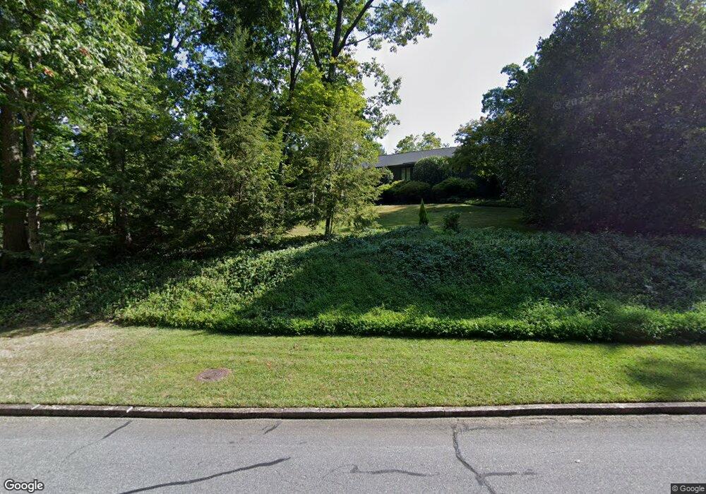
720 Rockford Rd High Point, NC 27262
Greater High Point NeighborhoodEstimated Value: $719,000 - $923,000
5
Beds
4
Baths
4,080
Sq Ft
$194/Sq Ft
Est. Value
About This Home
This home is located at 720 Rockford Rd, High Point, NC 27262 and is currently estimated at $792,945, approximately $194 per square foot. 720 Rockford Rd is a home located in Guilford County with nearby schools including Northwood Elementary School, Ferndale Middle School, and High Point Central High School.
Ownership History
Date
Name
Owned For
Owner Type
Purchase Details
Closed on
May 19, 2000
Sold by
Franklin Stevens Lester and Franklin Virginia P
Bought by
Tysinger Randall E and Tysinger Robin J
Current Estimated Value
Create a Home Valuation Report for This Property
The Home Valuation Report is an in-depth analysis detailing your home's value as well as a comparison with similar homes in the area
Home Values in the Area
Average Home Value in this Area
Purchase History
| Date | Buyer | Sale Price | Title Company |
|---|---|---|---|
| Tysinger Randall E | $350,000 | -- |
Source: Public Records
Tax History Compared to Growth
Tax History
| Year | Tax Paid | Tax Assessment Tax Assessment Total Assessment is a certain percentage of the fair market value that is determined by local assessors to be the total taxable value of land and additions on the property. | Land | Improvement |
|---|---|---|---|---|
| 2025 | $5,619 | $407,800 | $128,300 | $279,500 |
| 2024 | $5,619 | $407,800 | $128,300 | $279,500 |
| 2023 | $5,619 | $407,800 | $128,300 | $279,500 |
| 2022 | $5,497 | $407,800 | $128,300 | $279,500 |
| 2021 | $5,431 | $394,100 | $121,500 | $272,600 |
| 2020 | $5,431 | $394,100 | $121,500 | $272,600 |
| 2019 | $5,431 | $394,100 | $0 | $0 |
| 2018 | $5,404 | $394,100 | $0 | $0 |
| 2017 | $5,431 | $394,100 | $0 | $0 |
| 2016 | $5,453 | $388,800 | $0 | $0 |
| 2015 | $5,482 | $388,800 | $0 | $0 |
| 2014 | $5,575 | $388,800 | $0 | $0 |
Source: Public Records
Map
Nearby Homes
- 1408 1410 Westchester Dr
- 1011 Ferndale Blvd
- 1116 Ferndale Blvd
- 911 N Rotary Dr
- 1304 Wickliff Ave
- 1007 N Rotary Dr
- 707 Kennedy Ave
- 702 Gatewood Ave
- 931 Nottingham Rd
- 1122 Kensington Dr
- 810 Ferndale Blvd
- 1042 Rockford Rd
- 1116 Raleigh Ct
- 509 Chestnut Dr
- 1307 Tipton St
- 1110 Adams St
- 207 N Rotary Dr Unit A
- 633 Huntington Dr
- 925 Croyden St
- 2844 Saint Giles Ct
- 1009 Oakhurst Ave
- 1004 Oakhurst Ave
- 1005 Oakhurst Ave
- 710 Rockford Rd
- 800 Rockford Rd
- 915 Arbordale Ave
- 705 Rockford Rd
- 905 Arbordale Ave
- 706 Rockford Rd
- 1001 Oakhurst Ave
- 1000 Oakhurst Ave
- 903 Rockford Rd
- 725 Florham Dr
- 707 Florham Dr
- 704 Rockford Rd
- 901 Arbordale Ave
- 705 Florham Dr
- 916 Arbordale Ave
- 918 Arbordale Ave
- 908 Arbordale Ave