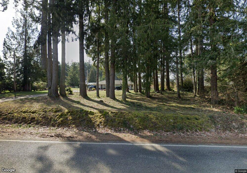
720 SE Cole Rd Shelton, WA 98584
Estimated Value: $446,418 - $475,000
3
Beds
2
Baths
1,921
Sq Ft
$240/Sq Ft
Est. Value
About This Home
This home is located at 720 SE Cole Rd, Shelton, WA 98584 and is currently estimated at $461,605, approximately $240 per square foot. 720 SE Cole Rd is a home located in Mason County with nearby schools including Bordeaux Elementary School, Olympic Middle School, and Oakland Bay Junior High School.
Ownership History
Date
Name
Owned For
Owner Type
Purchase Details
Closed on
May 4, 2015
Sold by
Kamin David V and Kamin Jayni L
Bought by
Cooksey William and Cooksey Chelsey
Current Estimated Value
Home Financials for this Owner
Home Financials are based on the most recent Mortgage that was taken out on this home.
Original Mortgage
$40,000
Outstanding Balance
$22,939
Interest Rate
3.64%
Mortgage Type
Seller Take Back
Estimated Equity
$438,666
Purchase Details
Closed on
Sep 11, 2013
Sold by
Myers David C and Myers Margaret J
Bought by
Stevens Larry L and Stevens Toni L
Create a Home Valuation Report for This Property
The Home Valuation Report is an in-depth analysis detailing your home's value as well as a comparison with similar homes in the area
Home Values in the Area
Average Home Value in this Area
Purchase History
| Date | Buyer | Sale Price | Title Company |
|---|---|---|---|
| Cooksey William | $45,000 | Mason County Title Ins Co | |
| Stevens Larry L | $180,280 | Mason County Title Ins Co |
Source: Public Records
Mortgage History
| Date | Status | Borrower | Loan Amount |
|---|---|---|---|
| Open | Cooksey William | $40,000 |
Source: Public Records
Tax History Compared to Growth
Tax History
| Year | Tax Paid | Tax Assessment Tax Assessment Total Assessment is a certain percentage of the fair market value that is determined by local assessors to be the total taxable value of land and additions on the property. | Land | Improvement |
|---|---|---|---|---|
| 2025 | $3,334 | $347,415 | $61,240 | $286,175 |
| 2023 | $3,334 | $310,180 | $54,510 | $255,670 |
| 2022 | $3,180 | $274,970 | $44,315 | $230,655 |
| 2021 | $3,024 | $274,970 | $44,315 | $230,655 |
| 2020 | $2,878 | $238,005 | $34,090 | $203,915 |
| 2018 | $2,364 | $149,035 | $47,300 | $101,735 |
| 2017 | $1,872 | $149,035 | $47,300 | $101,735 |
| 2016 | $1,855 | $129,925 | $41,800 | $88,125 |
| 2015 | -- | $129,925 | $41,800 | $88,125 |
| 2014 | -- | $120,805 | $37,400 | $83,405 |
| 2013 | -- | $141,155 | $38,500 | $102,655 |
Source: Public Records
Map
Nearby Homes
- 21 SE Neiland Ct W
- 83 SE Mill Creek Ridge W
- 500 SE Mill Creek Rd
- 911 Mill Creek Rd SE
- 211 SE Clematis Ave
- 21 SE Shadowood Blvd
- 200 SE Sunrise Dr
- 141 W Delight Park Rd
- 150 SE Lupine Place
- 70 SE Lupine Place
- 1891 SE Crescent Dr
- 1710 SE Crescent Dr
- 451 SE Alpine Ave
- 71 SE Lupine Ct
- 800 SE Crescent Dr
- 111 E Wilson St
- 1727 Holman St
- 1053 SE Binns Swiger Loop Rd
- 633 E Arcadia Ave
- 1927 Ferry St
- 660 SE Cole Rd
- 760 SE Cole Rd
- 612 SE Cole Rd
- 812 SE Cole Rd
- 721 SE Cole Rd
- 610 SE Cole Rd
- 810 SE Cole Rd
- 611 SE Cole Rd
- 831 SE Cole Rd
- 561 SE Cole Rd
- 650 SE Cole Rd
- 531 SE Cole Rd
- 221 SE Carpenter Dr
- 171 SE Carpenter Dr
- 500 SE Cole Rd
- 170 SE Carpenter Dr
- 281 SE Carpenter Dr
- 471 SE Cole Rd
- 220 SE Carpenter Dr
- 341 SE Carpenter Dr