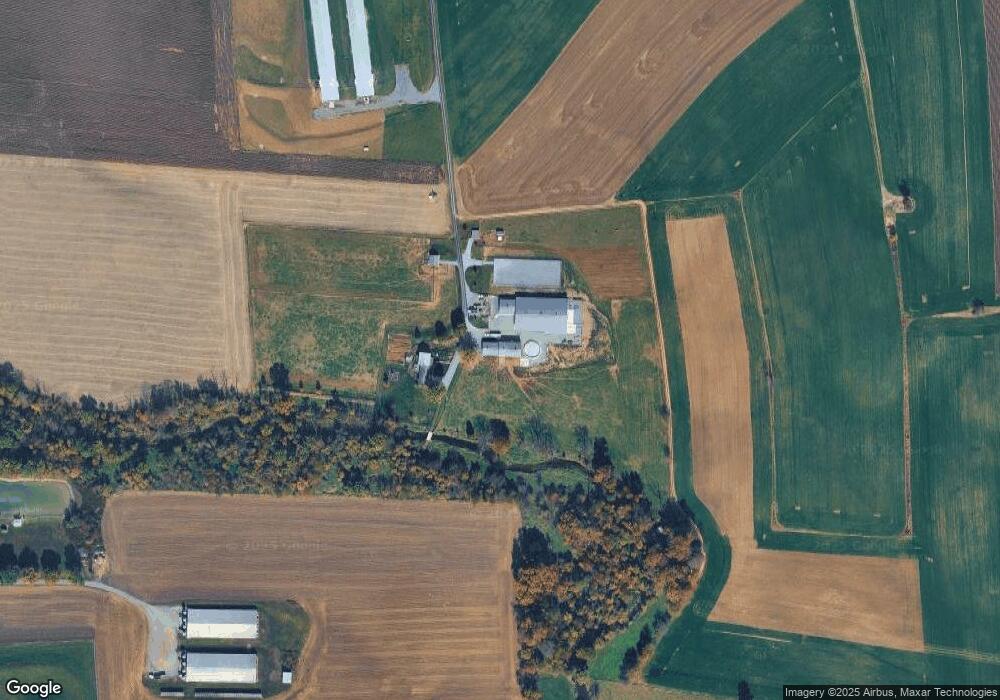
720 Tulpehocken Rd Myerstown, PA 17067
Jackson NeighborhoodEstimated Value: $561,000 - $984,000
4
Beds
2
Baths
3,072
Sq Ft
$271/Sq Ft
Est. Value
About This Home
This home is located at 720 Tulpehocken Rd, Myerstown, PA 17067 and is currently estimated at $831,893, approximately $270 per square foot. 720 Tulpehocken Rd is a home located in Lebanon County with nearby schools including Eastern Lebanon County Senior High School, Stony Ridge Parochial School, and Myerstown Mennonite School.
Ownership History
Date
Name
Owned For
Owner Type
Purchase Details
Closed on
Mar 5, 2019
Sold by
High Gerald H and High Allison R
Bought by
High Gerald H and High Allison R
Current Estimated Value
Purchase Details
Closed on
Jul 15, 2009
Sold by
Martin David G and Martin Erma B
Bought by
High Gerald H and High Allison R
Create a Home Valuation Report for This Property
The Home Valuation Report is an in-depth analysis detailing your home's value as well as a comparison with similar homes in the area
Home Values in the Area
Average Home Value in this Area
Purchase History
| Date | Buyer | Sale Price | Title Company |
|---|---|---|---|
| High Gerald H | -- | None Available | |
| High Gerald H | $133,744 | None Available | |
| High Gerald H | $525,000 | None Available |
Source: Public Records
Tax History Compared to Growth
Tax History
| Year | Tax Paid | Tax Assessment Tax Assessment Total Assessment is a certain percentage of the fair market value that is determined by local assessors to be the total taxable value of land and additions on the property. | Land | Improvement |
|---|---|---|---|---|
| 2025 | $9,488 | $419,600 | $22,500 | $397,100 |
| 2024 | $15,349 | $736,700 | $432,900 | $303,800 |
| 2023 | $15,349 | $736,700 | $432,900 | $303,800 |
| 2022 | $14,989 | $736,700 | $432,900 | $303,800 |
| 2021 | $14,157 | $730,200 | $432,900 | $297,300 |
| 2020 | $13,958 | $730,200 | $432,900 | $297,300 |
| 2019 | $11,484 | $613,000 | $315,700 | $297,300 |
| 2018 | $11,278 | $613,000 | $315,700 | $297,300 |
| 2017 | $945 | $586,400 | $315,700 | $270,700 |
| 2016 | $10,310 | $586,400 | $315,700 | $270,700 |
| 2015 | -- | $586,400 | $315,700 | $270,700 |
| 2014 | -- | $586,400 | $315,700 | $270,700 |
Source: Public Records
Map
Nearby Homes
- 608 E Lincoln Ave
- 212 E Main Ave
- 324 S Broad St
- 317 S Broad St
- 13 E Maple Ave
- 188 Lengle Rd
- 116 W Washington Ave
- 544 N College St
- 651 W Lincoln Ave
- 312 W Main Ave
- 106 Gable Dr
- 79 Gable Dr
- 446 Stracks Dam Rd
- 31 Laurel Dr
- 39 Laurel Dr
- 505 Stracks Dam Rd
- 16 Main St
- 23 Main St
- 14 Firefly Dr
- 409 E Rosebud Rd