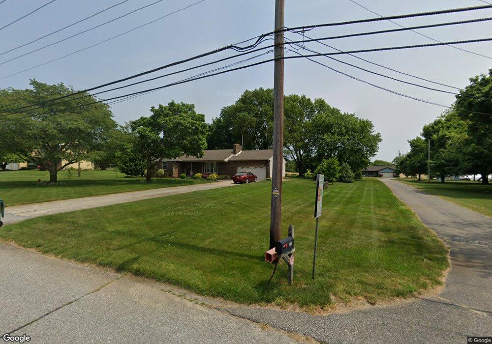
720 Union Rd Mickleton, NJ 08056
Estimated Value: $453,638 - $537,000
Studio
--
Bath
1,820
Sq Ft
$270/Sq Ft
Est. Value
About This Home
This home is located at 720 Union Rd, Mickleton, NJ 08056 and is currently estimated at $491,546, approximately $270 per square foot. 720 Union Rd is a home located in Gloucester County with nearby schools including Jeffrey Clark School, Samuel Mickle School, and Kingsway Regional Middle School.
Ownership History
Date
Name
Owned For
Owner Type
Purchase Details
Closed on
Jan 13, 2016
Sold by
Dcficcio Frances G and Estate Of Marie Lorraine Grass
Bought by
Grasso Alfio and Grasso Rosario
Current Estimated Value
Home Financials for this Owner
Home Financials are based on the most recent Mortgage that was taken out on this home.
Original Mortgage
$200,000
Interest Rate
3.98%
Mortgage Type
Purchase Money Mortgage
Create a Home Valuation Report for This Property
The Home Valuation Report is an in-depth analysis detailing your home's value as well as a comparison with similar homes in the area
Home Values in the Area
Average Home Value in this Area
Purchase History
| Date | Buyer | Sale Price | Title Company |
|---|---|---|---|
| Grasso Alfio | $300,000 | Foundation Title Llc |
Source: Public Records
Mortgage History
| Date | Status | Borrower | Loan Amount |
|---|---|---|---|
| Closed | Grasso Alfio | $200,000 |
Source: Public Records
Tax History
| Year | Tax Paid | Tax Assessment Tax Assessment Total Assessment is a certain percentage of the fair market value that is determined by local assessors to be the total taxable value of land and additions on the property. | Land | Improvement |
|---|---|---|---|---|
| 2025 | $8,380 | $263,600 | $66,800 | $196,800 |
| 2024 | $8,114 | $263,600 | $66,800 | $196,800 |
Source: Public Records
Map
Nearby Homes
- 253 Jennings Way
- 67 E Rattling Run Rd
- 642 Bainbridge Dr
- 0 Tomlin Station Rd Unit NJGL2061600
- 558 Hereford Ln
- 552 Hereford Ln
- 705 Malus Ct
- 9 Still Run Rd
- 607 Apple Dr
- 41 Redkist Dr
- 6 Burton Ln
- 53 Redkist Dr
- 34 Redkist Dr
- 55 Redkist Dr
- 32 Redkist Dr
- 57 Redkist Dr
- 30 Redkist Dr
- 59 Redkist Dr
- 28 Redkist Dr
- 72 Redkist Dr
- 716 Union Rd
- 724 Union Rd
- 712 Union Rd
- 728 Union Rd
- 137 E Wolfert Station Rd
- 708 Union Rd
- 732 Union Rd
- 133 E Wolfert Station Rd
- 143 E Wolfert Station Rd
- 721 Union Rd
- 723 Union Rd
- 717 Union Rd
- 727 Union Rd
- 736 Union Rd
- 713 Union Rd
- 127 E Wolfert Station Rd
- 147 E Wolfert Station Rd
- 709 Union Rd
- 731 Union Rd
- 705 Union Rd
Your Personal Tour Guide
Ask me questions while you tour the home.