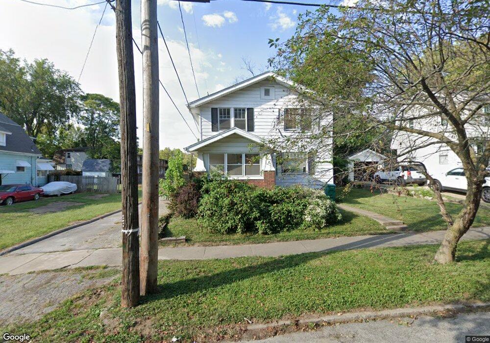
720 W Forest Ave Decatur, IL 62522
Near West NeighborhoodEstimated Value: $51,837 - $82,000
4
Beds
1
Bath
2,328
Sq Ft
$31/Sq Ft
Est. Value
About This Home
This home is located at 720 W Forest Ave, Decatur, IL 62522 and is currently estimated at $71,459, approximately $30 per square foot. 720 W Forest Ave is a home located in Macon County with nearby schools including Dennis Lab School, St. Patrick School, and Teen Challenge-Home For Girls.
Ownership History
Date
Name
Owned For
Owner Type
Purchase Details
Closed on
Nov 30, 2006
Sold by
Howell Justin and Howell Megan
Bought by
Pedigo Cynthia R
Current Estimated Value
Home Financials for this Owner
Home Financials are based on the most recent Mortgage that was taken out on this home.
Original Mortgage
$35,000
Outstanding Balance
$21,030
Interest Rate
6.4%
Mortgage Type
New Conventional
Estimated Equity
$50,429
Purchase Details
Closed on
Dec 1, 1999
Create a Home Valuation Report for This Property
The Home Valuation Report is an in-depth analysis detailing your home's value as well as a comparison with similar homes in the area
Home Values in the Area
Average Home Value in this Area
Purchase History
| Date | Buyer | Sale Price | Title Company |
|---|---|---|---|
| Pedigo Cynthia R | $35,000 | None Available | |
| -- | $10,000 | -- |
Source: Public Records
Mortgage History
| Date | Status | Borrower | Loan Amount |
|---|---|---|---|
| Open | Pedigo Cynthia R | $35,000 |
Source: Public Records
Tax History Compared to Growth
Tax History
| Year | Tax Paid | Tax Assessment Tax Assessment Total Assessment is a certain percentage of the fair market value that is determined by local assessors to be the total taxable value of land and additions on the property. | Land | Improvement |
|---|---|---|---|---|
| 2024 | $1,457 | $21,052 | $1,214 | $19,838 |
| 2023 | $1,424 | $20,307 | $1,171 | $19,136 |
| 2022 | $638 | $11,379 | $1,084 | $10,295 |
| 2021 | $642 | $10,627 | $1,012 | $9,615 |
| 2020 | $664 | $10,133 | $965 | $9,168 |
| 2019 | $664 | $10,133 | $965 | $9,168 |
| 2018 | $656 | $10,166 | $968 | $9,198 |
| 2017 | $654 | $10,438 | $994 | $9,444 |
| 2016 | $659 | $10,544 | $1,004 | $9,540 |
| 2015 | $638 | $10,357 | $986 | $9,371 |
| 2014 | $598 | $10,254 | $976 | $9,278 |
| 2013 | $596 | $10,639 | $1,013 | $9,626 |
Source: Public Records
Map
Nearby Homes
- 441 S Seigel St
- 617 W Decatur St
- 628 W Forest Ave
- 612 W Macon St
- 657 W Wood St
- 437 Powers Ln
- 650 S Crea St
- 450 W Macon St
- 530 Powers Ln
- 440 W Macon St
- 580 Powers Ln
- 899 W Main St
- 717 W Prairie Ave Unit 2
- 1005 W Main St
- 254 N Pine St
- 609 W William St
- 452 W Prairie Ave
- 442 W Prairie Ave
- 320 W Main St
- 233 N Edward St
- 710 W Forest Ave
- 732 W Forest Ave
- 471 S Seigel St
- 483 S Siegel St
- 483 S Seigel St
- 471 S Siegel St
- 711 W Forest Ave
- 750 W Forest Ave
- 505 S Siegel St
- 461 S Siegel St
- 737 W Forest Ave
- 505 S Seigel St
- 515 S Siegel St
- 461 S Seigel St
- 515 S Seigel St
- 780 W Forest Ave
- 747 W Forest Ave
- 443 S Seigel St
- 472 S Siegel St
- 443 S Siegel St