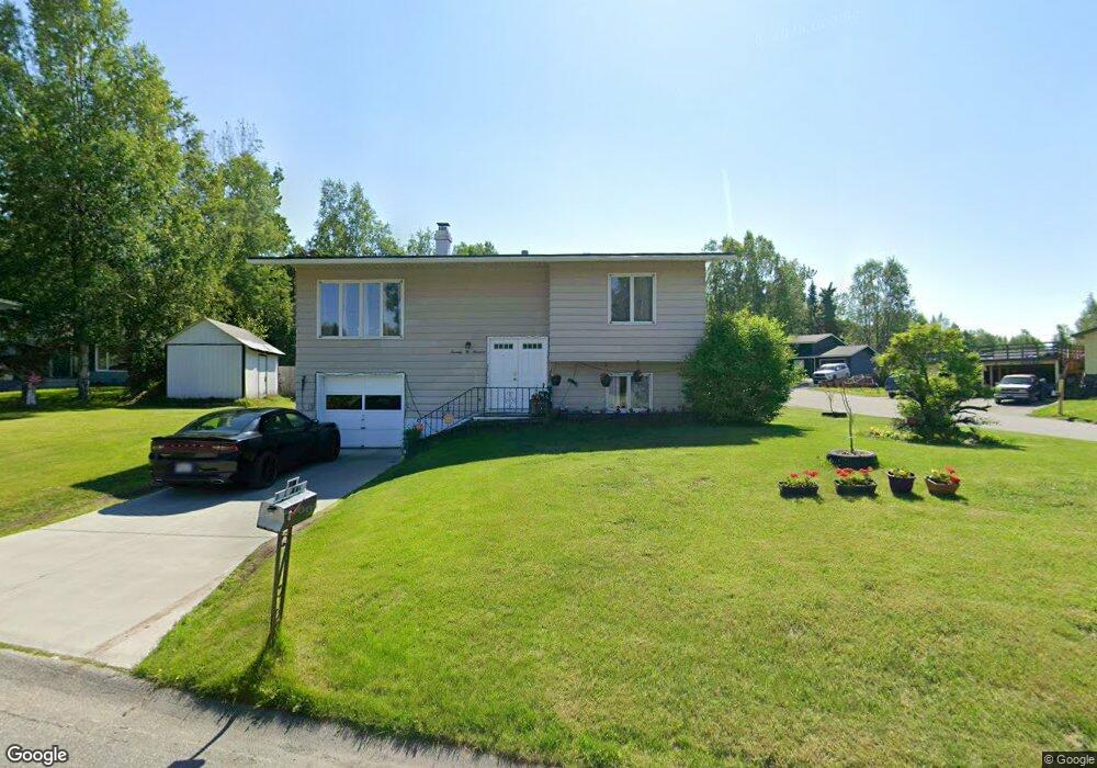
7200 Akutan Cir Anchorage, AK 99504
Northeast Anchorage NeighborhoodEstimated Value: $124,000 - $404,000
4
Beds
2
Baths
1,044
Sq Ft
$286/Sq Ft
Est. Value
About This Home
This home is located at 7200 Akutan Cir, Anchorage, AK 99504 and is currently estimated at $298,951, approximately $286 per square foot. 7200 Akutan Cir is a home located in Anchorage Municipality with nearby schools including Chester Valley Elementary School, Nicholas J. Begich Middle School, and Bartlett High School.
Ownership History
Date
Name
Owned For
Owner Type
Purchase Details
Closed on
Nov 16, 2020
Sold by
Rebecca Parker Revocable Trust and Parker William E
Bought by
Saliva Mildred B and Saliva Noel B
Current Estimated Value
Home Financials for this Owner
Home Financials are based on the most recent Mortgage that was taken out on this home.
Original Mortgage
$258,400
Outstanding Balance
$229,414
Interest Rate
2.8%
Mortgage Type
New Conventional
Estimated Equity
$69,537
Purchase Details
Closed on
Mar 2, 2018
Sold by
Parker Rebecca B
Bought by
Parker Rebecca B and The Rebecca Parker Revocable T
Purchase Details
Closed on
Jul 11, 2013
Sold by
Parker Rebecca B and Estate Of Winfred R Parker
Bought by
Parker Rebecca B
Home Financials for this Owner
Home Financials are based on the most recent Mortgage that was taken out on this home.
Original Mortgage
$115,000
Interest Rate
3.79%
Mortgage Type
New Conventional
Create a Home Valuation Report for This Property
The Home Valuation Report is an in-depth analysis detailing your home's value as well as a comparison with similar homes in the area
Home Values in the Area
Average Home Value in this Area
Purchase History
| Date | Buyer | Sale Price | Title Company |
|---|---|---|---|
| Saliva Mildred B | -- | None Listed On Document | |
| Parker Rebecca B | -- | None Available | |
| Parker Rebecca B | -- | Stewart Title Company |
Source: Public Records
Mortgage History
| Date | Status | Borrower | Loan Amount |
|---|---|---|---|
| Open | Saliva Mildred B | $258,400 | |
| Previous Owner | Parker Rebecca B | $115,000 |
Source: Public Records
Tax History Compared to Growth
Tax History
| Year | Tax Paid | Tax Assessment Tax Assessment Total Assessment is a certain percentage of the fair market value that is determined by local assessors to be the total taxable value of land and additions on the property. | Land | Improvement |
|---|---|---|---|---|
| 2025 | $4,270 | $361,300 | $104,900 | $256,400 |
| 2024 | $4,270 | $339,500 | $104,900 | $234,600 |
| 2023 | $5,414 | $317,900 | $104,900 | $213,000 |
| 2022 | $5,222 | $310,100 | $104,800 | $205,300 |
| 2021 | $4,974 | $276,000 | $104,800 | $171,200 |
| 2020 | $1,146 | $268,600 | $104,800 | $163,800 |
| 2019 | $1,163 | $271,100 | $104,800 | $166,300 |
| 2018 | $1,210 | $273,800 | $107,500 | $166,300 |
| 2017 | $1,682 | $277,400 | $102,000 | $175,400 |
| 2016 | $1,230 | $273,500 | $102,000 | $171,500 |
| 2015 | $1,230 | $268,100 | $93,100 | $175,000 |
| 2014 | $1,230 | $252,000 | $88,900 | $163,100 |
Source: Public Records
Map
Nearby Homes
- 7220 E 20th Ave
- 2441 Scarborough Dr
- 7110 Foothill Dr
- 2020 Muldoon Rd Unit 350
- 1749 Skilak Cir
- 7120 Chester Ct
- 7831 Wildbrook Ct
- 1900 Muldoon Rd
- 1749 Brink Dr
- 2558 Brookshire Loop Unit 32
- Slm L1 B1
- 1414 Marten St
- 6420 E Northern Lights Blvd Unit 7H
- 2221 Muldoon Rd Unit 370
- 2221 Muldoon Rd Unit 524
- 1406 Otter St
- 6911 Mink Ave
- L2 B4 E 32nd Ave
- 6410 E Northern Lights Blvd Unit 6A
- 6124 E 21st Ave
- 2331 Paxson Dr
- 2301 Paxson Dr
- 2301 Paxson Dr Unit A
- 2351 Paxson Dr
- 2320 Paxson Dr
- 7221 Akutan Cir
- 7211 Akutan Cir
- 7220 Akutan Cir
- 2340 Paxson Dr
- 2310 Paxson Dr
- 2310 Chandalar Dr
- 2320 Chandalar Dr
- 2251 Paxson Dr
- 2321 Tagalak Dr
- 2310 Tagalak Dr
- 2300 Chandalar Dr
- 2350 Paxson *Pvrm*
- 2350 Paxson Dr
- 2300 Paxson Dr
- 2320 Tagalak Dr