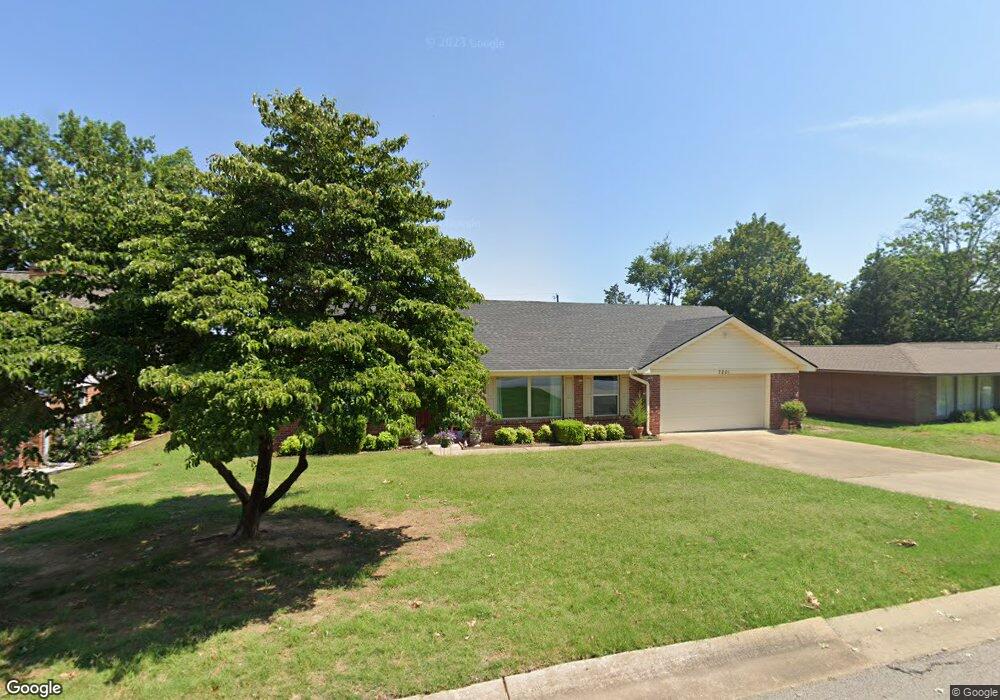
7201 S T St Fort Smith, AR 72903
Estimated Value: $213,000 - $260,000
--
Bed
2
Baths
1,985
Sq Ft
$121/Sq Ft
Est. Value
About This Home
This home is located at 7201 S T St, Fort Smith, AR 72903 and is currently estimated at $240,953, approximately $121 per square foot. 7201 S T St is a home located in Sebastian County with nearby schools including Euper Lane Elementary School, L.A. Chaffin Junior High School, and Southside High School.
Ownership History
Date
Name
Owned For
Owner Type
Purchase Details
Closed on
Feb 20, 2017
Sold by
Brown Paul R
Bought by
Brown Paul R and Brown Karin R
Current Estimated Value
Purchase Details
Closed on
Jul 24, 2015
Sold by
Kourany Oscar G and Kourany Marilyn
Bought by
Brown Paul R and Brown Karin R
Purchase Details
Closed on
Oct 25, 2013
Sold by
Woodland E Scott
Bought by
Kourany Oscar G
Home Financials for this Owner
Home Financials are based on the most recent Mortgage that was taken out on this home.
Original Mortgage
$125,400
Interest Rate
4.62%
Mortgage Type
New Conventional
Purchase Details
Closed on
May 21, 2013
Sold by
Woodland Eugene Scott and Woodland Holly Michele
Bought by
Woodland E Scott and Woodland Holly M
Purchase Details
Closed on
May 1, 2013
Sold by
Woodland Eugene
Bought by
Woodland Eugene Scott and Woodland Holly Michele
Create a Home Valuation Report for This Property
The Home Valuation Report is an in-depth analysis detailing your home's value as well as a comparison with similar homes in the area
Home Values in the Area
Average Home Value in this Area
Purchase History
| Date | Buyer | Sale Price | Title Company |
|---|---|---|---|
| Brown Paul R | -- | None Available | |
| Brown Paul R | $142,500 | Waco Title Co Fort Smith | |
| Kourany Oscar G | $32,000 | Mosley Abstract & Title Insu | |
| Woodland E Scott | -- | None Available | |
| Woodland Eugene Scott | -- | None Available |
Source: Public Records
Mortgage History
| Date | Status | Borrower | Loan Amount |
|---|---|---|---|
| Previous Owner | Kourany Oscar G | $125,400 |
Source: Public Records
Tax History Compared to Growth
Tax History
| Year | Tax Paid | Tax Assessment Tax Assessment Total Assessment is a certain percentage of the fair market value that is determined by local assessors to be the total taxable value of land and additions on the property. | Land | Improvement |
|---|---|---|---|---|
| 2024 | $1,442 | $32,270 | $8,000 | $24,270 |
| 2023 | $1,170 | $32,270 | $8,000 | $24,270 |
| 2022 | $1,220 | $32,270 | $8,000 | $24,270 |
| 2021 | $1,220 | $32,270 | $8,000 | $24,270 |
| 2020 | $1,220 | $32,270 | $8,000 | $24,270 |
| 2019 | $1,220 | $27,470 | $8,000 | $19,470 |
| 2018 | $1,245 | $27,470 | $8,000 | $19,470 |
| 2017 | $1,092 | $27,470 | $8,000 | $19,470 |
| 2016 | $1,442 | $27,470 | $8,000 | $19,470 |
| 2015 | $1,442 | $27,470 | $8,000 | $19,470 |
| 2014 | $1,032 | $0 | $0 | $0 |
Source: Public Records
Map
Nearby Homes
- 7024 S U St
- 7315 Riviera Dr
- 15640 S 71st St
- 2100 S 70th St
- 7709 Camelot Cir
- 1701 S 66th St
- 2 Laurel Glen
- 7906 Valley Forge Rd
- 7718 Williamsburg Rd
- 6501 Rogers Ave
- 5611 and 5613 Duncan Rd
- 3621 Rogers Ave
- 2211 S 64th St
- 1204 Kensington Way
- 6411 Atlanta St
- 2604 S 65th St
- 8200 Mile Tree Dr
- 6409 Boston St
- 6307 Atlanta St
- 11 Riverlyn Dr