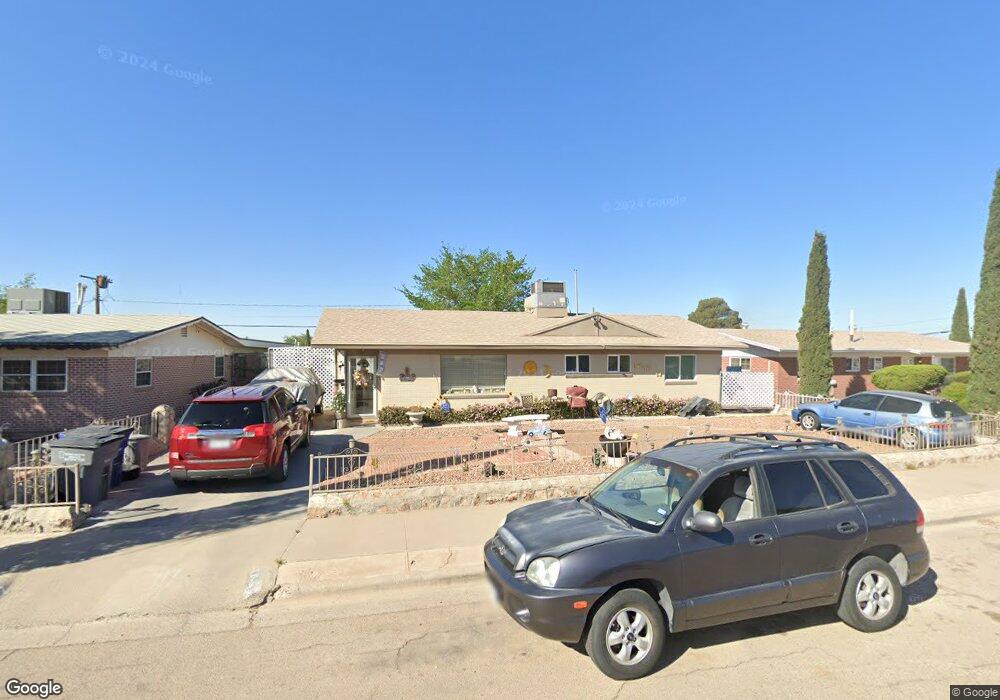
7202 Benson Dr El Paso, TX 79915
Ranchland West NeighborhoodEstimated Value: $139,000 - $184,000
3
Beds
2
Baths
1,016
Sq Ft
$160/Sq Ft
Est. Value
About This Home
This home is located at 7202 Benson Dr, El Paso, TX 79915 and is currently estimated at $162,202, approximately $159 per square foot. 7202 Benson Dr is a home located in El Paso County with nearby schools including Sageland Elementary School, Bel Air Middle, and Bel Air High School.
Ownership History
Date
Name
Owned For
Owner Type
Purchase Details
Closed on
Jan 30, 2012
Sold by
Ramirez Ricardo
Bought by
Ramirez Genoveva Acosta
Current Estimated Value
Purchase Details
Closed on
Jul 8, 2011
Sold by
Munoz Leslie P and Hernandez Dorothy
Bought by
Ramirez Ricardo
Home Financials for this Owner
Home Financials are based on the most recent Mortgage that was taken out on this home.
Original Mortgage
$76,356
Outstanding Balance
$53,122
Interest Rate
4.75%
Mortgage Type
FHA
Estimated Equity
$109,080
Create a Home Valuation Report for This Property
The Home Valuation Report is an in-depth analysis detailing your home's value as well as a comparison with similar homes in the area
Home Values in the Area
Average Home Value in this Area
Purchase History
| Date | Buyer | Sale Price | Title Company |
|---|---|---|---|
| Ramirez Genoveva Acosta | -- | None Available | |
| Ramirez Genoveva Acosta | -- | None Available | |
| Ramirez Ricardo | -- | None Available |
Source: Public Records
Mortgage History
| Date | Status | Borrower | Loan Amount |
|---|---|---|---|
| Open | Ramirez Ricardo | $76,356 |
Source: Public Records
Tax History
| Year | Tax Paid | Tax Assessment Tax Assessment Total Assessment is a certain percentage of the fair market value that is determined by local assessors to be the total taxable value of land and additions on the property. | Land | Improvement |
|---|---|---|---|---|
| 2025 | $1,141 | $117,621 | -- | -- |
| 2024 | $1,141 | $106,928 | -- | -- |
| 2023 | $1,068 | $97,207 | $0 | $0 |
| 2022 | $2,744 | $88,370 | $0 | $0 |
| 2021 | $2,611 | $80,336 | $13,959 | $66,377 |
| 2020 | $2,342 | $74,155 | $13,959 | $60,196 |
| 2018 | $2,266 | $72,866 | $13,698 | $59,168 |
| 2017 | $2,072 | $67,787 | $13,698 | $54,089 |
| 2016 | $2,072 | $67,787 | $13,698 | $54,089 |
| 2015 | $1,515 | $67,787 | $13,698 | $54,089 |
| 2014 | $1,515 | $68,597 | $13,698 | $54,899 |
Source: Public Records
Map
Nearby Homes
- 7212 Raton Dr
- 7315 Mojave Dr
- 7321 Cuba Dr
- 15161 Target Ave
- 7441 Yuma Dr
- 7531 Wilcox Dr
- 7113 Dale Rd
- 1104 Alaska St
- 1216 Prescott Dr
- 1136 Cimarron St
- 9325 W H Burges Dr
- 9517 Desert Hills Ln
- 9325 Mcfall Dr
- 9213 Moye Dr
- 304 Ramona Ave
- 228 Wooldridge Dr
- 8536 Morley Dr
- 7534 Taxco Dr
- 7603 Verona Cir
- 8705 Gazelle Dr
- 7200 Benson Dr
- 7203 Wilcox Dr
- 7201 Wilcox Dr
- 7206 Benson Dr
- 7201 Benson Dr
- 7205 Wilcox Dr
- 7205 Benson Dr
- 7207 Benson Dr
- 7208 Benson Dr
- 1305 Roswell Rd
- 7209 Benson Dr
- 1402 Roswell Rd
- 1307 Roswell Rd
- 1303 Roswell Rd
- 7207 Wilcox Dr
- 7211 Benson Dr
- 1401 Roswell Rd
- 1301 Roswell Rd
- 7200 Wilcox Dr
- 7210 Benson Dr
Your Personal Tour Guide
Ask me questions while you tour the home.