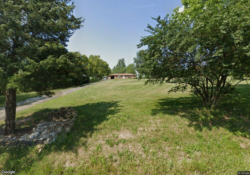
7202 Linn Rd Liberty Township, OH 45044
Estimated Value: $299,381 - $351,000
3
Beds
2
Baths
1,181
Sq Ft
$268/Sq Ft
Est. Value
About This Home
This home is located at 7202 Linn Rd, Liberty Township, OH 45044 and is currently estimated at $316,095, approximately $267 per square foot. 7202 Linn Rd is a home located in Butler County with nearby schools including Independence Elementary School, Liberty Junior School, and Lakota East High School.
Ownership History
Date
Name
Owned For
Owner Type
Purchase Details
Closed on
Mar 30, 2000
Sold by
Parrish John H and Parrish Robyn L
Bought by
Howse Pamela A and Ferber Jon W
Current Estimated Value
Home Financials for this Owner
Home Financials are based on the most recent Mortgage that was taken out on this home.
Original Mortgage
$65,000
Outstanding Balance
$22,525
Interest Rate
8.39%
Estimated Equity
$293,570
Purchase Details
Closed on
Oct 19, 1994
Sold by
Perkins Arnold
Bought by
Snyder Sandra K and Snyder Chris D
Home Financials for this Owner
Home Financials are based on the most recent Mortgage that was taken out on this home.
Original Mortgage
$95,000
Interest Rate
6.87%
Mortgage Type
New Conventional
Create a Home Valuation Report for This Property
The Home Valuation Report is an in-depth analysis detailing your home's value as well as a comparison with similar homes in the area
Home Values in the Area
Average Home Value in this Area
Purchase History
| Date | Buyer | Sale Price | Title Company |
|---|---|---|---|
| Howse Pamela A | $142,000 | Midland Title Security Inc | |
| Snyder Sandra K | $139,000 | -- |
Source: Public Records
Mortgage History
| Date | Status | Borrower | Loan Amount |
|---|---|---|---|
| Open | Howse Pamela A | $65,000 | |
| Previous Owner | Snyder Sandra K | $95,000 | |
| Closed | Howse Pamela A | $22,000 |
Source: Public Records
Tax History Compared to Growth
Tax History
| Year | Tax Paid | Tax Assessment Tax Assessment Total Assessment is a certain percentage of the fair market value that is determined by local assessors to be the total taxable value of land and additions on the property. | Land | Improvement |
|---|---|---|---|---|
| 2024 | $2,863 | $71,550 | $14,280 | $57,270 |
| 2023 | $2,828 | $71,550 | $14,280 | $57,270 |
| 2022 | $2,552 | $50,580 | $14,280 | $36,300 |
| 2021 | $2,539 | $50,580 | $14,280 | $36,300 |
| 2020 | $2,605 | $50,580 | $14,280 | $36,300 |
| 2019 | $4,256 | $44,180 | $14,280 | $29,900 |
| 2018 | $2,541 | $44,180 | $14,280 | $29,900 |
| 2017 | $2,590 | $44,180 | $14,280 | $29,900 |
| 2016 | $2,447 | $42,430 | $14,280 | $28,150 |
| 2015 | $2,443 | $42,430 | $14,280 | $28,150 |
| 2014 | $2,678 | $42,430 | $14,280 | $28,150 |
| 2013 | $2,678 | $44,820 | $15,050 | $29,770 |
Source: Public Records
Map
Nearby Homes
- 7104 Paul Ln
- 5019 Yankee Rd
- 5290 Bligh Ct
- 7574 Woodmere Ct
- 7542 Hickory Knoll Dr
- 5169 Oak Forest Dr
- 7025 Welney Run
- 7498 Cherokee Ln
- 7221 Kyles Station Rd
- 5326 Elmwood Ln
- 7095 Kyles Station Rd
- 6895 Welney Run
- 20 Stillpass Way
- 6872 Fox Trot Ct
- 1 Kyles Station Rd
- 157 Lena Dr
- 857 Hocking Meadow Cir
- 7377 Burton Dr
- 130 Stonemill Ct
- 856 Hocking Meadow Cir