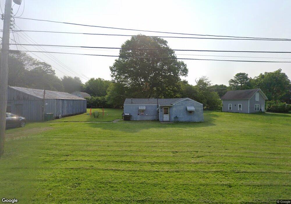
7202 Poore Rd Conneaut, OH 44030
Kingsville NeighborhoodEstimated Value: $94,708 - $148,000
2
Beds
1
Bath
978
Sq Ft
$123/Sq Ft
Est. Value
About This Home
This home is located at 7202 Poore Rd, Conneaut, OH 44030 and is currently estimated at $120,427, approximately $123 per square foot. 7202 Poore Rd is a home located in Ashtabula County with nearby schools including Kingsville Elementary School, Ridgeview Elementary School, and Wallace H. Braden Junior High School.
Ownership History
Date
Name
Owned For
Owner Type
Purchase Details
Closed on
Mar 18, 2019
Sold by
Lindsay Scott A and Lindsay Sharon
Bought by
Lindsay Scott and Lindsay Sharon
Current Estimated Value
Home Financials for this Owner
Home Financials are based on the most recent Mortgage that was taken out on this home.
Original Mortgage
$40,595
Outstanding Balance
$33,883
Interest Rate
4.4%
Mortgage Type
VA
Estimated Equity
$86,545
Purchase Details
Closed on
Jan 9, 2019
Sold by
Estate Of Carol V Bennett
Bought by
Lindsay Scott A
Purchase Details
Closed on
Jun 3, 2009
Sold by
Bennett Carol V
Bought by
Bennett Carol V
Home Financials for this Owner
Home Financials are based on the most recent Mortgage that was taken out on this home.
Original Mortgage
$165,000
Interest Rate
3.56%
Mortgage Type
Reverse Mortgage Home Equity Conversion Mortgage
Purchase Details
Closed on
Nov 17, 2004
Sold by
Bennett Richard R and Bennett Carol V
Bought by
Bennett Richard R and Bennett Carol V
Create a Home Valuation Report for This Property
The Home Valuation Report is an in-depth analysis detailing your home's value as well as a comparison with similar homes in the area
Home Values in the Area
Average Home Value in this Area
Purchase History
| Date | Buyer | Sale Price | Title Company |
|---|---|---|---|
| Lindsay Scott | -- | Chicago Title | |
| Lindsay Scott A | -- | None Available | |
| Bennett Carol V | -- | None Available | |
| Bennett Richard R | -- | -- |
Source: Public Records
Mortgage History
| Date | Status | Borrower | Loan Amount |
|---|---|---|---|
| Open | Lindsay Scott | $40,595 | |
| Previous Owner | Bennett Carol V | $165,000 |
Source: Public Records
Tax History Compared to Growth
Tax History
| Year | Tax Paid | Tax Assessment Tax Assessment Total Assessment is a certain percentage of the fair market value that is determined by local assessors to be the total taxable value of land and additions on the property. | Land | Improvement |
|---|---|---|---|---|
| 2024 | $1,118 | $15,720 | $5,460 | $10,260 |
| 2023 | $563 | $15,720 | $5,460 | $10,260 |
| 2022 | $472 | $11,800 | $4,200 | $7,600 |
| 2021 | $473 | $11,800 | $4,200 | $7,600 |
| 2020 | $478 | $11,800 | $4,200 | $7,600 |
| 2019 | $664 | $15,760 | $4,800 | $10,960 |
| 2018 | $604 | $14,850 | $3,890 | $10,960 |
| 2017 | $211 | $14,850 | $3,890 | $10,960 |
| 2016 | $175 | $13,060 | $3,430 | $9,630 |
| 2015 | $174 | $13,060 | $3,430 | $9,630 |
| 2014 | $169 | $13,060 | $3,430 | $9,630 |
| 2013 | $153 | $12,680 | $2,350 | $10,330 |
Source: Public Records
Map
Nearby Homes
- 7032 Reed Rd
- 7002 Reed Rd
- 6926 Reed Rd
- 4377 E Center St
- 7328 Harmon Rd
- 3988 Lake Rd
- 7527 Tamkrist Trail
- 7435 Glenwood Rd
- 7463 Glenwood Rd
- 7630 Darling Ave
- 4017 Lake Rd Unit 17
- 7842 Cleveland Dr
- 3339 Lake Rd
- 7544 Glenwood Rd
- 3241 S Forest Dr
- 0 Creek Rd Unit 5146859
- 531 W Main Rd
- 0 Creek Rd Unit 5172426
- 2928 Placid Pointe Rd
- 106 Margor Dr
- 7218 Poore Rd
- 3899 E Center St
- 7207 Poore Rd
- 7215 Poore Rd
- 3881 E Center St
- 7242 Poore Rd
- 7243 Poore Rd
- 3861 E Center St
- 3919 E Center St
- 7241 Poore Rd
- 7257 Poore Rd
- 4064 East Center
- 4064 E Center St
- 4054 East Center
- 3939 E Center St
- 3930 E Center St
- 3851 E Center St
- 4040 E Center St
- 7272 Poore Rd
- 7271 Poore Rd