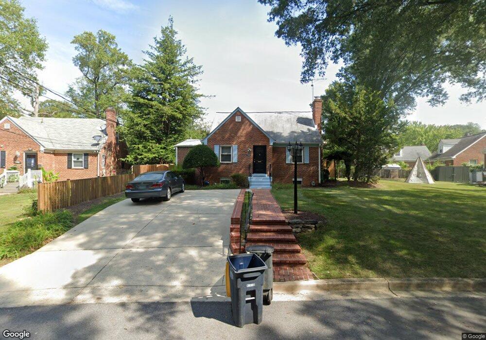
7203 Sligo Pkwy E Takoma Park, MD 20912
Estimated Value: $459,791 - $555,000
--
Bed
2
Baths
1,451
Sq Ft
$347/Sq Ft
Est. Value
About This Home
This home is located at 7203 Sligo Pkwy E, Takoma Park, MD 20912 and is currently estimated at $503,948, approximately $347 per square foot. 7203 Sligo Pkwy E is a home located in Montgomery County with nearby schools including Carole Highlands Elementary School, Buck Lodge Middle School, and High Point High School.
Ownership History
Date
Name
Owned For
Owner Type
Purchase Details
Closed on
Mar 27, 1998
Sold by
Draggon Cassandra V
Bought by
Johnson Rita
Current Estimated Value
Purchase Details
Closed on
Jul 11, 1994
Sold by
Alderink Fred J
Bought by
Draggon Cassandra V
Home Financials for this Owner
Home Financials are based on the most recent Mortgage that was taken out on this home.
Original Mortgage
$133,100
Interest Rate
8.51%
Purchase Details
Closed on
Nov 1, 1982
Sold by
Herl Ronald J
Bought by
Alderink Fred J and Alderink Georgia L
Create a Home Valuation Report for This Property
The Home Valuation Report is an in-depth analysis detailing your home's value as well as a comparison with similar homes in the area
Home Values in the Area
Average Home Value in this Area
Purchase History
| Date | Buyer | Sale Price | Title Company |
|---|---|---|---|
| Johnson Rita | $152,500 | -- | |
| Draggon Cassandra V | $147,900 | -- | |
| Alderink Fred J | $94,500 | -- |
Source: Public Records
Mortgage History
| Date | Status | Borrower | Loan Amount |
|---|---|---|---|
| Previous Owner | Draggon Cassandra V | $133,100 |
Source: Public Records
Tax History Compared to Growth
Tax History
| Year | Tax Paid | Tax Assessment Tax Assessment Total Assessment is a certain percentage of the fair market value that is determined by local assessors to be the total taxable value of land and additions on the property. | Land | Improvement |
|---|---|---|---|---|
| 2025 | $4,687 | $419,800 | $120,400 | $299,400 |
| 2024 | $4,687 | $434,900 | $115,400 | $319,500 |
| 2023 | $4,524 | $406,833 | $0 | $0 |
| 2022 | $4,212 | $378,767 | $0 | $0 |
| 2021 | $8,082 | $350,700 | $100,200 | $250,500 |
| 2020 | $3,757 | $329,133 | $0 | $0 |
| 2019 | $3,592 | $307,567 | $0 | $0 |
| 2018 | $3,420 | $286,000 | $75,200 | $210,800 |
| 2017 | $3,271 | $251,733 | $0 | $0 |
| 2016 | -- | $217,467 | $0 | $0 |
| 2015 | $2,953 | $183,200 | $0 | $0 |
| 2014 | $2,953 | $183,200 | $0 | $0 |
Source: Public Records
Map
Nearby Homes
- 1505 Drexel St
- 7107 13th Ave
- 1011 Hopewell Ave
- 6813 10th Ave
- 7308 15th Place
- 7333 New Hampshire Ave Unit 510
- 7333 New Hampshire Ave
- 7333 New Hampshire Ave Unit 1217
- 7333 New Hampshire Ave Unit 112
- 7333 New Hampshire Ave Unit 816
- 7333 New Hampshire Ave Unit 311
- 7606 15th Ave
- 7015 18th Ave
- 6914 New Hampshire Ave
- 7401 18th Ave Unit 208
- 7002 Riggs Rd
- 903 Heather Ave
- 1611 Dayton Rd
- 1112 Lancaster Rd
- 702 Auburn Ave