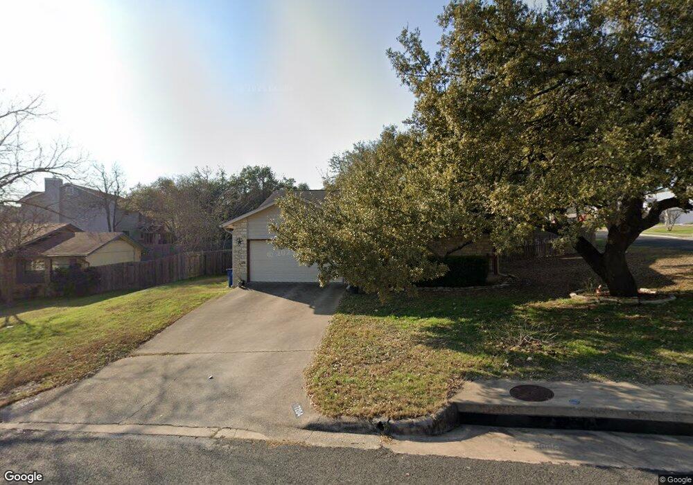
7204 Smokey Hill Rd Austin, TX 78736
West Oak Hill NeighborhoodEstimated Value: $411,197 - $522,000
--
Bed
2
Baths
1,608
Sq Ft
$280/Sq Ft
Est. Value
About This Home
This home is located at 7204 Smokey Hill Rd, Austin, TX 78736 and is currently estimated at $450,299, approximately $280 per square foot. 7204 Smokey Hill Rd is a home located in Travis County with nearby schools including Patton Elementary School, Small Middle School, and James Bowie High School.
Ownership History
Date
Name
Owned For
Owner Type
Purchase Details
Closed on
Apr 27, 2001
Sold by
Micheletti Richard A
Bought by
Frisby Joel M and Frisby Georgiana M
Current Estimated Value
Purchase Details
Closed on
Feb 28, 1994
Sold by
Coover Carol L
Bought by
Frisby Joel M and Frisby Georgiana M
Home Financials for this Owner
Home Financials are based on the most recent Mortgage that was taken out on this home.
Original Mortgage
$92,339
Interest Rate
7%
Mortgage Type
FHA
Create a Home Valuation Report for This Property
The Home Valuation Report is an in-depth analysis detailing your home's value as well as a comparison with similar homes in the area
Home Values in the Area
Average Home Value in this Area
Purchase History
| Date | Buyer | Sale Price | Title Company |
|---|---|---|---|
| Frisby Joel M | -- | Texas Professional Title Inc | |
| Frisby Joel M | -- | -- |
Source: Public Records
Mortgage History
| Date | Status | Borrower | Loan Amount |
|---|---|---|---|
| Previous Owner | Frisby Joel M | $92,339 |
Source: Public Records
Tax History Compared to Growth
Tax History
| Year | Tax Paid | Tax Assessment Tax Assessment Total Assessment is a certain percentage of the fair market value that is determined by local assessors to be the total taxable value of land and additions on the property. | Land | Improvement |
|---|---|---|---|---|
| 2025 | $6,434 | $452,621 | -- | -- |
| 2023 | $5,709 | $401,030 | $0 | $0 |
| 2022 | $7,200 | $364,573 | $0 | $0 |
| 2021 | $7,214 | $331,430 | $120,000 | $249,986 |
| 2020 | $6,462 | $301,300 | $120,000 | $181,300 |
| 2018 | $5,950 | $268,752 | $120,000 | $165,382 |
| 2017 | $5,449 | $244,320 | $80,000 | $196,432 |
| 2016 | $4,953 | $222,109 | $80,000 | $173,642 |
| 2015 | $3,966 | $201,917 | $50,000 | $180,321 |
| 2014 | $3,966 | $183,561 | $0 | $0 |
Source: Public Records
Map
Nearby Homes
- 8536 Red Willow Dr
- 8818 Moccasin Path
- 7324 Covered Bridge Dr
- 8005 Red Willow Dr
- 8318 Gallatin Dr
- 7008 Chinook Dr
- 6718 Silvermine Dr Unit 903
- 6718 Silvermine Dr Unit 804
- 7601 Crackling Creek Dr
- 8210 Landsman Dr
- 7505 Roaring Springs Dr
- 7010 Harvest Trail Dr
- 8737 W Highway 71
- 6701 Covered Bridge Dr
- 6701 Covered Bridge Dr Unit 51
- 6701 Covered Bridge Dr Unit 40
- Plan 2070 at Creekside at Estancia
- Plan 2245 at Creekside at Estancia
- Plan 1888 at Scenic Pass
- Plan 2881 at Scenic Pass
- 8403 Bargamin Dr
- 7206 Smokey Hill Rd
- 8402 Selway Dr
- 8405 Bargamin Dr
- 7202 Smokey Hill Rd
- 8402 Bargamin Dr
- 8404 Selway Dr
- 7207 Smokey Hill Rd
- 8404 Bargamin Dr
- 7205 Smokey Hill Rd
- 7209 Smokey Hill Rd
- 8406 Selway Dr
- 8406 Bargamin Dr
- 7203 Smokey Hill Rd
- 7208 Smokey Hill Rd
- 7200 Smokey Hill Rd
- 8403 Red Willow Dr
- 8408 Bargamin Dr
- 8403 Selway Dr
- 7211 Smokey Hill Rd