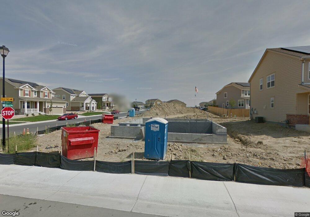
7205 E 133rd Cir Thornton, CO 80602
Estimated Value: $672,794 - $722,000
4
Beds
4
Baths
2,910
Sq Ft
$242/Sq Ft
Est. Value
About This Home
This home is located at 7205 E 133rd Cir, Thornton, CO 80602 and is currently estimated at $702,949, approximately $241 per square foot. 7205 E 133rd Cir is a home located in Adams County with nearby schools including West Ridge Elementary School, Rodger Quist Middle School, and Riverdale Ridge High School.
Ownership History
Date
Name
Owned For
Owner Type
Purchase Details
Closed on
Feb 25, 2022
Sold by
Andrew Auslam Ryan
Bought by
Flint Delos M and Flint Jennafer
Current Estimated Value
Home Financials for this Owner
Home Financials are based on the most recent Mortgage that was taken out on this home.
Original Mortgage
$576,000
Outstanding Balance
$532,748
Interest Rate
3.69%
Mortgage Type
New Conventional
Estimated Equity
$170,201
Purchase Details
Closed on
Nov 29, 2016
Sold by
Lennar Colorado Llc
Bought by
Auslam Ryan Andrew and Auslam Jenna Marie
Home Financials for this Owner
Home Financials are based on the most recent Mortgage that was taken out on this home.
Original Mortgage
$430,761
Interest Rate
4.03%
Mortgage Type
VA
Create a Home Valuation Report for This Property
The Home Valuation Report is an in-depth analysis detailing your home's value as well as a comparison with similar homes in the area
Purchase History
| Date | Buyer | Sale Price | Title Company |
|---|---|---|---|
| Flint Delos M | $750,000 | First American Title | |
| Auslam Ryan Andrew | $417,800 | North American Title |
Source: Public Records
Mortgage History
| Date | Status | Borrower | Loan Amount |
|---|---|---|---|
| Open | Flint Delos M | $576,000 | |
| Previous Owner | Auslam Ryan Andrew | $430,761 |
Source: Public Records
Tax History
| Year | Tax Paid | Tax Assessment Tax Assessment Total Assessment is a certain percentage of the fair market value that is determined by local assessors to be the total taxable value of land and additions on the property. | Land | Improvement |
|---|---|---|---|---|
| 2025 | $7,812 | $47,740 | $8,500 | $39,240 |
| 2024 | $7,812 | $43,870 | $7,810 | $36,060 |
| 2023 | $7,719 | $48,910 | $7,440 | $41,470 |
| 2022 | $5,777 | $33,470 | $6,600 | $26,870 |
| 2021 | $5,623 | $33,470 | $6,600 | $26,870 |
| 2020 | $5,516 | $33,760 | $6,790 | $26,970 |
| 2019 | $5,627 | $33,760 | $6,790 | $26,970 |
| 2018 | $4,533 | $27,870 | $6,840 | $21,030 |
| 2017 | $4,530 | $27,870 | $6,840 | $21,030 |
| 2016 | $184 | $1,220 | $1,220 | $0 |
| 2015 | $184 | $1,220 | $1,220 | $0 |
| 2014 | -- | $10 | $10 | $0 |
Source: Public Records
Map
Nearby Homes
- 13336 Olive St
- 13380 Oneida St
- 6883 E 132nd Place
- 13455 Magnolia Ct
- 8194 E 132nd Place
- 13022 Tamarac Place
- 12901 Spruce St
- 12891 Spruce St
- 13200 Uinta St
- 12814 Newport Way
- 13407 Valentia St
- 7875 E 136th Dr
- 8222 E 129th Place
- 13190 Kearney St
- 8055 E 128th Place
- 13427 Krameria St
- 8347 E 135th Ct
- 8386 E 132nd Dr
- 12754 Leyden St Unit E
- 8386 E 135th Ct
- 7215 E 133rd Cir
- 13346 Olive Way
- 7225 E 133rd Cir
- 7202 E 133rd Cir
- 13343 Olive Way
- 13347 Olive Way
- 13342 Olive Way
- 7212 E 133rd Cir
- 7212 E 133rd Cir
- 13339 Olive Way
- 7235 E 133rd Cir
- 7222 E 133rd Cir
- 13350 Olive Way
- 13335 Olive Way
- 13334 Olive Way
- 7232 E 133rd Cir
- 13355 Olive Way
- 13348 Olive St
- 13344 Olive St
- 7245 E 133rd Cir
Your Personal Tour Guide
Ask me questions while you tour the home.