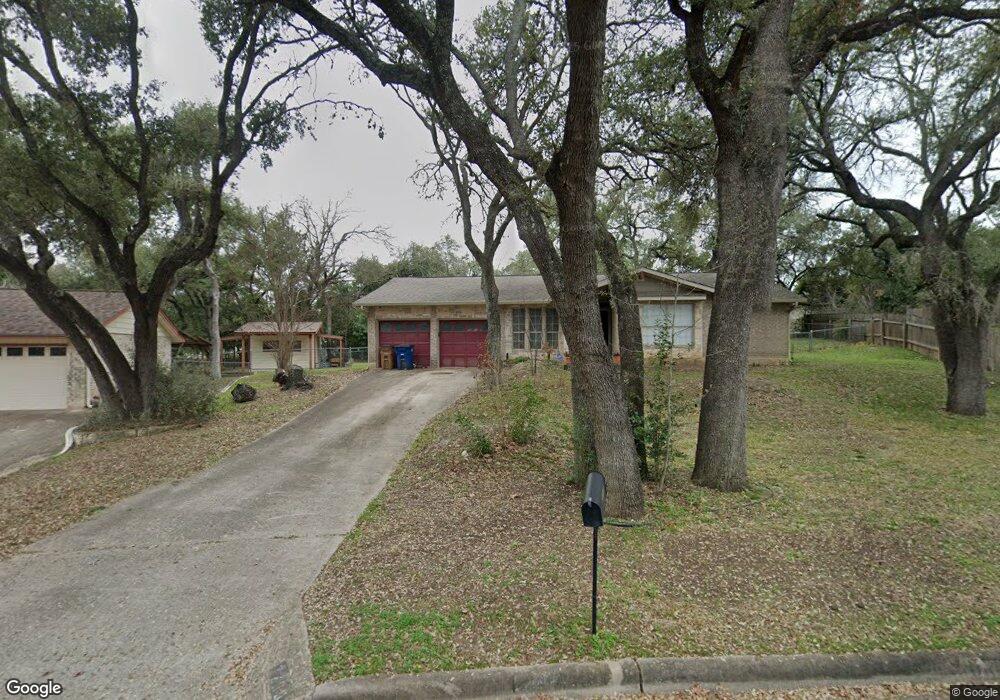
7205 S Brook Dr Austin, TX 78736
West Oak Hill NeighborhoodEstimated Value: $373,864 - $531,000
Studio
2
Baths
1,710
Sq Ft
$266/Sq Ft
Est. Value
About This Home
This home is located at 7205 S Brook Dr, Austin, TX 78736 and is currently estimated at $454,216, approximately $265 per square foot. 7205 S Brook Dr is a home located in Travis County with nearby schools including Patton Elementary School, Small Middle School, and James Bowie High School.
Ownership History
Date
Name
Owned For
Owner Type
Purchase Details
Closed on
Mar 27, 2000
Sold by
Bell S Michael and Bell James D
Bought by
Bell S Michael
Current Estimated Value
Home Financials for this Owner
Home Financials are based on the most recent Mortgage that was taken out on this home.
Original Mortgage
$80,450
Outstanding Balance
$27,839
Interest Rate
8.37%
Mortgage Type
Purchase Money Mortgage
Estimated Equity
$426,377
Purchase Details
Closed on
Jun 24, 1998
Sold by
Schroeder Winona Leissner
Bought by
Bell S Michael and Bell James D
Home Financials for this Owner
Home Financials are based on the most recent Mortgage that was taken out on this home.
Original Mortgage
$77,900
Interest Rate
7.13%
Mortgage Type
Purchase Money Mortgage
Create a Home Valuation Report for This Property
The Home Valuation Report is an in-depth analysis detailing your home's value as well as a comparison with similar homes in the area
Home Values in the Area
Average Home Value in this Area
Purchase History
| Date | Buyer | Sale Price | Title Company |
|---|---|---|---|
| Bell S Michael | -- | -- | |
| Bell S Michael | -- | -- |
Source: Public Records
Mortgage History
| Date | Status | Borrower | Loan Amount |
|---|---|---|---|
| Open | Bell S Michael | $80,450 | |
| Closed | Bell S Michael | $77,900 |
Source: Public Records
Tax History
| Year | Tax Paid | Tax Assessment Tax Assessment Total Assessment is a certain percentage of the fair market value that is determined by local assessors to be the total taxable value of land and additions on the property. | Land | Improvement |
|---|---|---|---|---|
| 2025 | $2,137 | $365,233 | $102,438 | $262,795 |
| 2023 | $3,752 | $438,712 | $0 | $0 |
| 2022 | $7,877 | $398,829 | $0 | $0 |
| 2021 | $7,892 | $362,572 | $120,000 | $251,367 |
| 2020 | $7,070 | $329,611 | $120,000 | $211,647 |
| 2018 | $6,031 | $272,405 | $120,000 | $189,132 |
| 2017 | $5,523 | $247,641 | $80,000 | $207,068 |
| 2016 | $5,021 | $225,128 | $80,000 | $183,043 |
| 2015 | $4,023 | $204,662 | $50,000 | $190,086 |
| 2014 | $4,023 | $186,056 | $0 | $0 |
Source: Public Records
Map
Nearby Homes
- 8005 Red Willow Dr
- 8110 Pinto Path
- 8301 Landsman Dr
- 8507 Selway Dr
- 7809 Old Bee Caves Rd Unit 16
- 7809 Old Bee Caves Rd Unit 17
- 7809 Old Bee Caves Rd Unit 18
- 7804 Phoenix Pass
- 6718 Silvermine Dr Unit 702
- 6718 Silvermine Dr Unit 103
- 6718 Silvermine Dr Unit 704
- 7312 Morning Sunrise Cove Unit B10
- 6821 Wolfcreek Pass Unit 2
- 8606 Thunderbird Rd Unit A & B
- 8902 Moccasin Path
- 8402 Candelaria Dr
- 6810 Poncha Pass
- 6844 La Concha Pass
- 7212 Lookout Bluff Terrace Unit D18
- 7204 Covered Bridge Dr
- 7207 S Brook Dr
- 7203 S Brook Dr
- 7209 S Brook Dr
- 7202 S Brook Dr
- 7201 S Brook Dr
- 7204 S Brook Dr
- 7200 S Brook Dr
- 7211 S Brook Dr
- 7206 S Brook Dr
- 7129 S Brook Dr
- 7123 Scenic Brook Dr
- 7121 Scenic Brook Dr
- 7213 S Brook Dr
- 7208 S Brook Dr
- 7126 S Brook Dr
- 7125 Scenic Brook Dr
- 7119 Scenic Brook Dr
- 7127 S Brook Dr
- 7210 S Brook Dr
- 7215 S Brook Dr
Your Personal Tour Guide
Ask me questions while you tour the home.