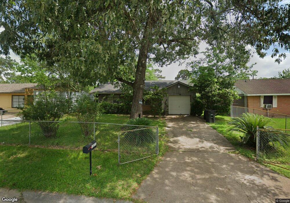
7206 Colton St Houston, TX 77016
East Little York NeighborhoodEstimated Value: $144,638 - $179,000
3
Beds
1
Bath
964
Sq Ft
$175/Sq Ft
Est. Value
About This Home
This home is located at 7206 Colton St, Houston, TX 77016 and is currently estimated at $168,660, approximately $174 per square foot. 7206 Colton St is a home located in Harris County with nearby schools including Shadydale Elementary School, Forest Brook Middle, and North Forest High School.
Ownership History
Date
Name
Owned For
Owner Type
Purchase Details
Closed on
Mar 7, 2003
Sold by
Hud
Bought by
Price Timothy K and Price Priscilla C
Current Estimated Value
Purchase Details
Closed on
Aug 7, 2002
Sold by
Daffin Barrett Burke Wilson Castle
Bought by
Hud
Purchase Details
Closed on
Aug 6, 2002
Sold by
Hatton Dorothy M and Hatton Shirley A
Bought by
Principal Residential Mtg Inc
Create a Home Valuation Report for This Property
The Home Valuation Report is an in-depth analysis detailing your home's value as well as a comparison with similar homes in the area
Home Values in the Area
Average Home Value in this Area
Purchase History
| Date | Buyer | Sale Price | Title Company |
|---|---|---|---|
| Price Timothy K | -- | First American Title | |
| Hud | -- | -- | |
| Principal Residential Mtg Inc | $25,670 | -- |
Source: Public Records
Tax History Compared to Growth
Tax History
| Year | Tax Paid | Tax Assessment Tax Assessment Total Assessment is a certain percentage of the fair market value that is determined by local assessors to be the total taxable value of land and additions on the property. | Land | Improvement |
|---|---|---|---|---|
| 2025 | $2,345 | $118,835 | $52,374 | $66,461 |
| 2024 | $2,345 | $112,051 | $52,374 | $59,677 |
| 2023 | $2,345 | $120,910 | $43,344 | $77,566 |
| 2022 | $2,158 | $98,002 | $36,120 | $61,882 |
| 2021 | $1,974 | $84,695 | $27,090 | $57,605 |
| 2020 | $1,764 | $72,851 | $18,782 | $54,069 |
| 2019 | $1,647 | $65,069 | $12,353 | $52,716 |
| 2018 | $1,086 | $43,000 | $12,353 | $30,647 |
| 2017 | $1,087 | $43,000 | $12,353 | $30,647 |
| 2016 | $1,087 | $52,928 | $12,353 | $40,575 |
| 2015 | -- | $39,960 | $12,353 | $27,607 |
| 2014 | -- | $33,474 | $12,353 | $21,121 |
Source: Public Records
Map
Nearby Homes
- 7210 Colton St
- 10317 Kelburn Dr
- 7226 Gore Dr
- 7234 Boggess Rd
- 10128 Homestead Rd
- 10201 Homestead Rd
- 10124 Homestead Rd
- 10120 Homestead Rd
- 10806 Bird of Paradise Ln
- 10808 Bird of Paradise Ln
- 10810 Bird of Paradise Ln
- 10122 Rockaway Dr
- 7252 Parker Rd
- 7220 Parker Rd
- 7306 Parker Rd
- 10313 Blades St
- 7305 Yoe St
- 10430 Royal Oaks Dr
- 7818 Laurel Gem Dr
- 7827 Laurel Gem Dr
- 7202 Colton St
- 7211 Lakewood Dr
- 7214 Colton St
- 7215 Lakewood Dr
- 7207 Lakewood Dr
- 7219 Lakewood Dr
- 7203 Lakewood Dr
- 7205 Colton St
- 7218 Colton St
- 7211 Colton St
- 7223 Lakewood Dr
- 10229 Kelburn Dr
- 10301 Kelburn Dr
- 51051/2 E Earline
- 7215 Colton St
- 7222 Colton St
- 10225 Kelburn Dr
- 10305 Kelburn Dr
- 7227 Lakewood Dr
- 7219 Colton St