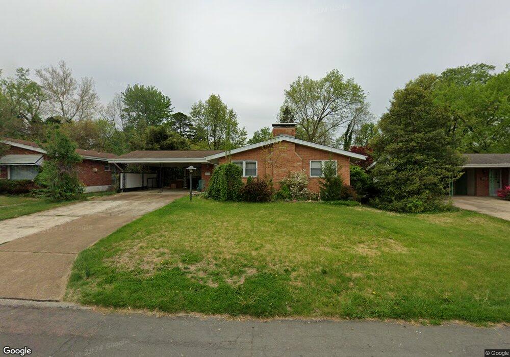
7208 Rockspring Dr Saint Louis, MO 63123
Estimated Value: $282,000 - $334,000
3
Beds
3
Baths
1,454
Sq Ft
$212/Sq Ft
Est. Value
About This Home
This home is located at 7208 Rockspring Dr, Saint Louis, MO 63123 and is currently estimated at $308,938, approximately $212 per square foot. 7208 Rockspring Dr is a home located in St. Louis County with nearby schools including Mesnier Primary School, Gotsch Intermediate School, and Rogers Middle School.
Ownership History
Date
Name
Owned For
Owner Type
Purchase Details
Closed on
Apr 30, 2009
Sold by
Shemwell James A and Shemwell Linda L
Bought by
Sintakas Sandra
Current Estimated Value
Home Financials for this Owner
Home Financials are based on the most recent Mortgage that was taken out on this home.
Original Mortgage
$129,200
Outstanding Balance
$81,236
Interest Rate
4.84%
Mortgage Type
Purchase Money Mortgage
Estimated Equity
$227,702
Create a Home Valuation Report for This Property
The Home Valuation Report is an in-depth analysis detailing your home's value as well as a comparison with similar homes in the area
Home Values in the Area
Average Home Value in this Area
Purchase History
| Date | Buyer | Sale Price | Title Company |
|---|---|---|---|
| Sintakas Sandra | $161,500 | None Available |
Source: Public Records
Mortgage History
| Date | Status | Borrower | Loan Amount |
|---|---|---|---|
| Open | Sintakas Sandra | $129,200 |
Source: Public Records
Tax History
| Year | Tax Paid | Tax Assessment Tax Assessment Total Assessment is a certain percentage of the fair market value that is determined by local assessors to be the total taxable value of land and additions on the property. | Land | Improvement |
|---|---|---|---|---|
| 2025 | $3,968 | $47,890 | $16,630 | $31,260 |
| 2024 | $3,968 | $49,010 | $9,980 | $39,030 |
| 2023 | $3,836 | $49,010 | $9,980 | $39,030 |
| 2022 | $3,091 | $35,910 | $12,460 | $23,450 |
| 2021 | $3,020 | $35,910 | $12,460 | $23,450 |
| 2020 | $2,925 | $32,450 | $9,880 | $22,570 |
| 2019 | $2,900 | $32,450 | $9,880 | $22,570 |
| 2018 | $2,791 | $27,590 | $8,320 | $19,270 |
| 2017 | $2,773 | $27,590 | $8,320 | $19,270 |
| 2016 | $2,630 | $27,820 | $9,140 | $18,680 |
Source: Public Records
Map
Nearby Homes
- 8210 Marvale Ln
- 6901 General Sherman Ln
- 7609 General Meade Ln
- 6723 Colony Acres Dr
- 6722 Colony Acres Dr
- 6714 Colony Acres Dr
- 8501 Palmetto Dr
- 8200 New Hampshire Ave
- 8942 Eden Ave
- 1433 Ronald Dr
- 6421 Judson Ave
- 8520 Ava Dr
- 435 Hampshire Ct
- 7917 Grantwood Cove Ln
- 6209 Bixby Ave
- 9842 Coventry Ln
- 6804 Snowy Owl Ln
- 7908 Camelot Ln Unit 4
- 8628 Charlton Ln
- 60 Flamingo Dr
- 7204 Rockspring Dr
- 7216 Rockspring Dr
- 7220 Rockspring Dr
- 7200 Rockspring Dr
- 7121 Stafford Ct
- 7117 Stafford Ct
- 7207 Rockspring Dr
- 7211 Rockspring Dr
- 7123 Stafford Ct
- 7113 Stafford Ct
- 8415 Rockspring Dr
- 7215 Rockspring Dr
- 7224 Rockspring Dr
- 7107 Stafford Ct
- 7127 Stafford Ct
- 8424 Rockspring Dr
- 7219 Rockspring Dr
- 7105 Stafford Ct
- 8420 Rockspring Dr
- 7228 Rockspring Dr
Your Personal Tour Guide
Ask me questions while you tour the home.