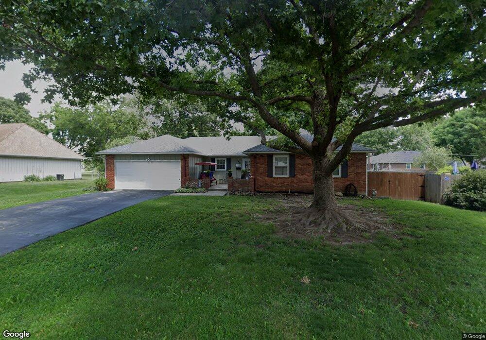
7209 Bond St Shawnee, KS 66203
Estimated Value: $371,397 - $423,000
3
Beds
3
Baths
1,560
Sq Ft
$251/Sq Ft
Est. Value
About This Home
This home is located at 7209 Bond St, Shawnee, KS 66203 and is currently estimated at $391,849, approximately $251 per square foot. 7209 Bond St is a home located in Johnson County with nearby schools including Shawanoe Elementary School, Trailridge Middle School, and Shawnee Mission Northwest High School.
Ownership History
Date
Name
Owned For
Owner Type
Purchase Details
Closed on
Nov 1, 2005
Sold by
Thompson John M and Thompson Patricia D
Bought by
Moore James J and Moore Nancy J
Current Estimated Value
Home Financials for this Owner
Home Financials are based on the most recent Mortgage that was taken out on this home.
Original Mortgage
$135,000
Interest Rate
5.33%
Mortgage Type
New Conventional
Create a Home Valuation Report for This Property
The Home Valuation Report is an in-depth analysis detailing your home's value as well as a comparison with similar homes in the area
Home Values in the Area
Average Home Value in this Area
Purchase History
| Date | Buyer | Sale Price | Title Company |
|---|---|---|---|
| Moore James J | -- | Kansas City Title |
Source: Public Records
Mortgage History
| Date | Status | Borrower | Loan Amount |
|---|---|---|---|
| Closed | Moore James J | $135,000 |
Source: Public Records
Tax History
| Year | Tax Paid | Tax Assessment Tax Assessment Total Assessment is a certain percentage of the fair market value that is determined by local assessors to be the total taxable value of land and additions on the property. | Land | Improvement |
|---|---|---|---|---|
| 2025 | $4,525 | $44,678 | $6,292 | $38,386 |
| 2024 | $4,525 | $42,700 | $6,292 | $36,408 |
| 2023 | $4,136 | $38,571 | $6,292 | $32,279 |
| 2022 | $3,693 | $34,327 | $5,475 | $28,852 |
| 2021 | $3,581 | $31,222 | $4,756 | $26,466 |
| 2020 | $3,310 | $28,474 | $4,325 | $24,149 |
| 2019 | $3,084 | $26,496 | $3,604 | $22,892 |
| 2018 | $2,982 | $25,519 | $3,281 | $22,238 |
| 2017 | $2,918 | $24,587 | $3,281 | $21,306 |
| 2016 | $2,628 | $21,839 | $3,281 | $18,558 |
| 2015 | $2,491 | $21,528 | $3,281 | $18,247 |
| 2013 | -- | $20,919 | $3,281 | $17,638 |
Source: Public Records
Map
Nearby Homes
- 7232 Bond St
- 7107 Garnett St
- 7219 Reeder St
- 7340 Goddard Dr
- 10902 W 71st Place
- 12122 W 73rd Terrace
- 7330 Charles St
- 12205 W 72nd St
- 11801 W 69th St
- 12324 W 71st Terrace
- 11315 W 68th St
- 10809 W 76th St
- 5648 Long St
- 7629 Monrovia St
- 7006 Long Ave
- 7309 Stearns St
- 7311 Stearns St
- 7611 Westgate St
- 12311 W 67th Terrace
- 6712 Charles St
- 11416 W 72nd Terrace
- 7208 Flint Cir
- 7205 Bond St
- 11408 W 72nd Terrace
- 7204 Flint Cir
- 7208 Bond St
- 7212 Bond St
- 7204 Bond St
- 7216 Bond St
- 7205 Flint Cir
- 11413 W 72nd Terrace
- 7220 Bond St
- 7134 Bond St
- 11409 W 72nd Terrace
- 11400 W 72nd Terrace
- 7209 Flint Cir
- 11405 W 72nd Terrace
- 7224 Bond St
- 7133 Cody St
- 11418 W 73rd St
Your Personal Tour Guide
Ask me questions while you tour the home.