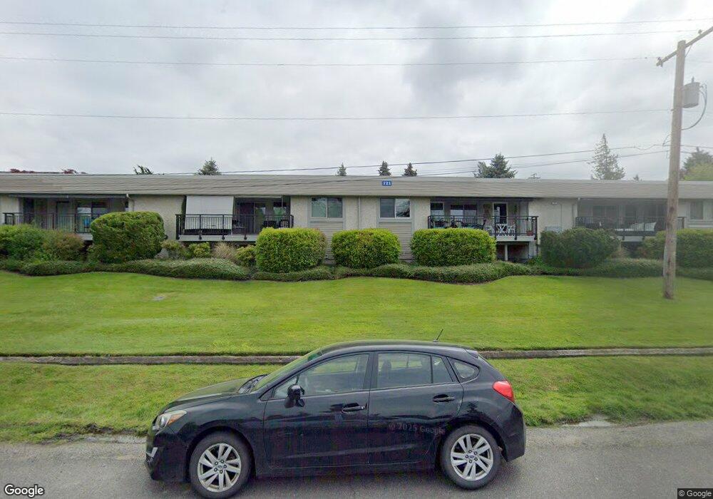
721 10th St Unit A4 Bellingham, WA 98225
South Hill NeighborhoodEstimated Value: $602,000 - $888,000
2
Beds
2
Baths
1,205
Sq Ft
$638/Sq Ft
Est. Value
About This Home
This home is located at 721 10th St Unit A4, Bellingham, WA 98225 and is currently estimated at $768,558, approximately $637 per square foot. 721 10th St Unit A4 is a home located in Whatcom County with nearby schools including Lowell Elementary School, Fairhaven Middle School, and Sehome High School.
Ownership History
Date
Name
Owned For
Owner Type
Purchase Details
Closed on
Dec 10, 2008
Sold by
Paul D Kink Credit Trust and Kink Mary K
Bought by
Kink Family Llc
Current Estimated Value
Create a Home Valuation Report for This Property
The Home Valuation Report is an in-depth analysis detailing your home's value as well as a comparison with similar homes in the area
Home Values in the Area
Average Home Value in this Area
Purchase History
| Date | Buyer | Sale Price | Title Company |
|---|---|---|---|
| Kink Family Llc | -- | None Available | |
| Kink Family Llc | -- | None Available |
Source: Public Records
Tax History Compared to Growth
Tax History
| Year | Tax Paid | Tax Assessment Tax Assessment Total Assessment is a certain percentage of the fair market value that is determined by local assessors to be the total taxable value of land and additions on the property. | Land | Improvement |
|---|---|---|---|---|
| 2024 | -- | -- | -- | -- |
| 2023 | $0 | $0 | $0 | $0 |
| 2022 | $0 | $0 | $0 | $0 |
| 2021 | $0 | $0 | $0 | $0 |
| 2020 | $0 | $0 | $0 | $0 |
| 2019 | $0 | $0 | $0 | $0 |
| 2018 | $0 | $0 | $0 | $0 |
| 2017 | $0 | $0 | $0 | $0 |
| 2016 | $0 | $0 | $0 | $0 |
| 2014 | -- | $0 | $0 | $0 |
| 2013 | -- | $0 | $0 | $0 |
Source: Public Records
Map
Nearby Homes
- 805 11th St
- 600 S State St Unit 208
- 600 S State St Unit 212
- 600 S State St Unit 101
- 600 S State St Unit 204
- 929 11th St Unit 202
- 917 13th St
- 1014 11th St Unit 302
- 925 15th St
- 1005 15th St
- 444 S State St Unit 307
- 1315 Mill Ave
- 1201 13th St Unit 301
- 0 XXX S State St
- 910 Harris Ave Unit 208
- 337 S State St Unit 2
- 1211 14th St
- 1101 Mckenzie Ave Unit 206
- 1131 16th St
- 1302 Larrabee Ave
- 709 10th St Unit 2
- 709 10th St Unit 1
- 721 10th St
- 721 10th St Unit A3
- 721 10th St Unit A2
- 721 10th St Unit A1
- 720 11th St Unit B1
- 720 11th St Unit B8
- 720 11th St Unit B7
- 720 11th St Unit B6
- 720 11th St Unit B5
- 720 11th St Unit B2
- 712 11th St Unit A1
- 712 11th St Unit C4
- 712 11th St Unit C1
- 712 11th St Unit C10
- 712 11th St Unit C9
- 712 11th St Unit C8
- 712 11th St Unit C6