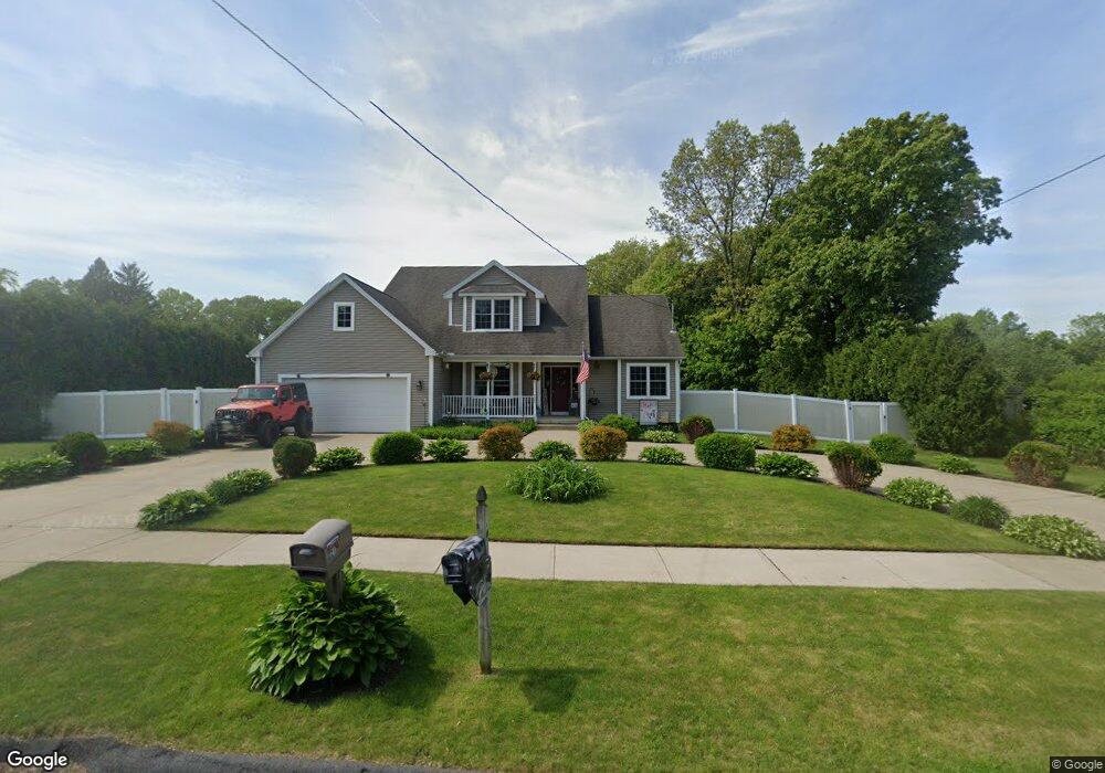
721 Amostown Rd West Springfield, MA 01089
Estimated Value: $506,000 - $539,000
3
Beds
3
Baths
1,900
Sq Ft
$275/Sq Ft
Est. Value
About This Home
This home is located at 721 Amostown Rd, West Springfield, MA 01089 and is currently estimated at $522,977, approximately $275 per square foot. 721 Amostown Rd is a home located in Hampden County with nearby schools including Hampden Charter School of Science West and St Thomas The Apostle School.
Ownership History
Date
Name
Owned For
Owner Type
Purchase Details
Closed on
Sep 25, 2009
Sold by
Cardinal Homes Inc
Bought by
Aubin Bradford A and Aubin Marcie L
Current Estimated Value
Home Financials for this Owner
Home Financials are based on the most recent Mortgage that was taken out on this home.
Original Mortgage
$200,000
Outstanding Balance
$132,121
Interest Rate
5.31%
Mortgage Type
Purchase Money Mortgage
Estimated Equity
$390,856
Purchase Details
Closed on
Nov 20, 2008
Sold by
Lacroix Janet M and Lacroix Thomas F
Bought by
Cardinal Homes Inc
Home Financials for this Owner
Home Financials are based on the most recent Mortgage that was taken out on this home.
Original Mortgage
$273,200
Interest Rate
6.03%
Mortgage Type
Purchase Money Mortgage
Create a Home Valuation Report for This Property
The Home Valuation Report is an in-depth analysis detailing your home's value as well as a comparison with similar homes in the area
Home Values in the Area
Average Home Value in this Area
Purchase History
| Date | Buyer | Sale Price | Title Company |
|---|---|---|---|
| Aubin Bradford A | $359,900 | -- | |
| Cardinal Homes Inc | $92,000 | -- |
Source: Public Records
Mortgage History
| Date | Status | Borrower | Loan Amount |
|---|---|---|---|
| Open | Aubin Bradford A | $200,000 | |
| Previous Owner | Cardinal Homes Inc | $273,200 |
Source: Public Records
Tax History Compared to Growth
Tax History
| Year | Tax Paid | Tax Assessment Tax Assessment Total Assessment is a certain percentage of the fair market value that is determined by local assessors to be the total taxable value of land and additions on the property. | Land | Improvement |
|---|---|---|---|---|
| 2025 | $6,516 | $438,200 | $120,200 | $318,000 |
| 2024 | $6,054 | $408,800 | $120,200 | $288,600 |
| 2023 | $5,980 | $384,800 | $120,200 | $264,600 |
| 2022 | $5,505 | $349,300 | $109,000 | $240,300 |
| 2021 | $5,288 | $312,900 | $88,200 | $224,700 |
| 2020 | $5,308 | $312,400 | $88,200 | $224,200 |
| 2019 | $5,298 | $312,400 | $88,200 | $224,200 |
| 2018 | $5,326 | $312,400 | $88,200 | $224,200 |
| 2017 | $5,326 | $312,400 | $88,200 | $224,200 |
| 2016 | $5,408 | $318,300 | $82,800 | $235,500 |
| 2015 | $5,282 | $310,900 | $81,400 | $229,500 |
| 2014 | $1,284 | $310,900 | $81,400 | $229,500 |
Source: Public Records
Map
Nearby Homes
- 43 Wishing Well Way
- 17 Laurence Dr
- 42 Gregory Ln
- 81 Laurence Dr
- 86 Birnie Ave
- 61 Clarence St
- 283 Forest Glen
- 36 Shady Brook
- 65 Verdugo St
- 142 Morton St
- 147 Grandview Ave
- 19 Cora St
- 16 North St
- 34 High Meadow Dr
- 31 Stone Path Ln
- 32 Windpath E
- 42 Janet St
- 64 Apple Ridge Rd
- 74 Maple Terrace
- 260 Wolcott Ave
- 0 Amostown Rd
- 747 Amostown Rd
- 711 Amostown Rd
- 742 Amostown Rd
- 712 Amostown Rd
- 695 Amostown Rd
- 757 Amostown Rd
- 750 Amostown Rd
- 686 Amostown Rd
- 681 Amostown Rd
- 767 Amostown Rd
- 35 Larivee Ln
- 762 Amostown Rd
- 45 Larivee Ln
- 669 Amostown Rd
- 55 Larivee Ln
- 770 Amostown Rd
- 672 Amostown Rd
- 791 Amostown Rd
- 63 Larivee Ln