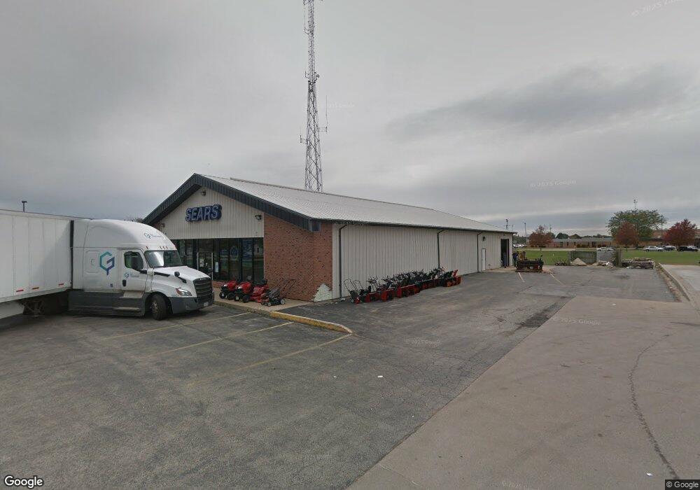
721 Bedford Rd Morris, IL 60450
Estimated Value: $557,000 - $787,000
--
Bed
--
Bath
7,600
Sq Ft
$85/Sq Ft
Est. Value
About This Home
This home is located at 721 Bedford Rd, Morris, IL 60450 and is currently estimated at $646,221, approximately $85 per square foot. 721 Bedford Rd is a home located in Grundy County with nearby schools including White Oak Elementary School, Shabbona Middle School, and Morris Community High School.
Ownership History
Date
Name
Owned For
Owner Type
Purchase Details
Closed on
Aug 21, 2025
Sold by
Mol Llc
Bought by
Rram Holdings Llc
Current Estimated Value
Purchase Details
Closed on
May 25, 2021
Sold by
Charles Vacha Living Trust
Bought by
Mol Inc
Home Financials for this Owner
Home Financials are based on the most recent Mortgage that was taken out on this home.
Original Mortgage
$1,458,000
Interest Rate
2.9%
Mortgage Type
Commercial
Purchase Details
Closed on
Oct 1, 2012
Sold by
C Vacha Woodfield Llc
Bought by
Vacha Charles and Vacha Judith
Purchase Details
Closed on
Sep 25, 2012
Sold by
C Vacha Woodfield Llc
Bought by
Vacha Charles and Vacha Judith
Create a Home Valuation Report for This Property
The Home Valuation Report is an in-depth analysis detailing your home's value as well as a comparison with similar homes in the area
Home Values in the Area
Average Home Value in this Area
Purchase History
| Date | Buyer | Sale Price | Title Company |
|---|---|---|---|
| Rram Holdings Llc | $435,000 | None Listed On Document | |
| Mol Inc | $510,000 | None Available | |
| Vacha Charles | -- | -- | |
| Vacha Charles | -- | -- |
Source: Public Records
Mortgage History
| Date | Status | Borrower | Loan Amount |
|---|---|---|---|
| Previous Owner | Mol Inc | $1,458,000 |
Source: Public Records
Tax History Compared to Growth
Tax History
| Year | Tax Paid | Tax Assessment Tax Assessment Total Assessment is a certain percentage of the fair market value that is determined by local assessors to be the total taxable value of land and additions on the property. | Land | Improvement |
|---|---|---|---|---|
| 2024 | $15,097 | $192,901 | $36,004 | $156,897 |
| 2023 | $14,218 | $181,673 | $33,908 | $147,765 |
| 2022 | $13,114 | $167,564 | $31,275 | $136,289 |
| 2021 | $12,576 | $158,468 | $29,577 | $128,891 |
| 2020 | $12,435 | $154,422 | $28,822 | $125,600 |
| 2019 | $11,721 | $146,371 | $27,319 | $119,052 |
| 2018 | $11,539 | $143,532 | $26,789 | $116,743 |
| 2017 | $10,860 | $135,984 | $25,380 | $110,604 |
| 2016 | $10,757 | $134,918 | $25,181 | $109,737 |
| 2015 | $5,179 | $129,517 | $24,173 | $105,344 |
| 2014 | $4,911 | $126,136 | $23,542 | $102,594 |
| 2013 | $9,985 | $131,160 | $24,480 | $106,680 |
Source: Public Records
Map
Nearby Homes
- 523 Bedford Rd
- 1301 Union St
- 00 U S 6
- 936 Thomas Dr
- 957 Thomas Dr
- 1009-1011 Dupont Ave
- 1873 Sunflower Ct
- 1020 Gladys Ave
- 1375 Lakeside Ln
- 1209 Lakewood Dr Unit D
- 1595 W Us Rte 6
- 1112 & 1112 1/2 Butler St
- 1368 Heritage Dr
- 0000 Lakewood Dr
- 1180 Lakewood Dr
- Lot 1 W Commercial St
- 1466 Mollie Dr
- 601 Boulder Dr Unit A3
- 1445 Scott Cir
- Lot 3 Heron Lake Ct