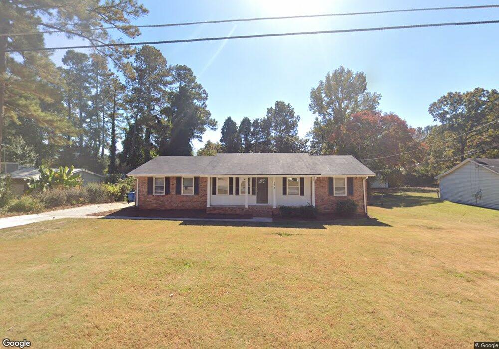
721 Bluebird Dr SE Conyers, GA 30094
Estimated Value: $257,000 - $267,989
3
Beds
2
Baths
1,770
Sq Ft
$147/Sq Ft
Est. Value
About This Home
This home is located at 721 Bluebird Dr SE, Conyers, GA 30094 and is currently estimated at $260,247, approximately $147 per square foot. 721 Bluebird Dr SE is a home located in Rockdale County with nearby schools including Honey Creek Elementary School, Edwards Middle School, and Heritage High School.
Ownership History
Date
Name
Owned For
Owner Type
Purchase Details
Closed on
Jun 24, 2024
Sold by
Sfr Owner Llc
Bought by
Sfr Owner Ml Borrower Llc
Current Estimated Value
Purchase Details
Closed on
Dec 19, 2023
Sold by
Second Avenue Sfr Holdings Ii Llc
Bought by
Sfr Owner Llc
Purchase Details
Closed on
Jun 28, 2022
Sold by
Stathes Pennie
Bought by
Second Avenue Sfr Holdings Ii Llc
Purchase Details
Closed on
Jul 22, 2019
Sold by
Stathes Pennie L
Bought by
Stathes Pennie L and Stathes John Paul
Purchase Details
Closed on
Aug 10, 2018
Sold by
Lewis Olen J
Bought by
Stathes Pennie L
Create a Home Valuation Report for This Property
The Home Valuation Report is an in-depth analysis detailing your home's value as well as a comparison with similar homes in the area
Home Values in the Area
Average Home Value in this Area
Purchase History
| Date | Buyer | Sale Price | Title Company |
|---|---|---|---|
| Sfr Owner Ml Borrower Llc | -- | -- | |
| Sfr Owner Llc | $269,159 | -- | |
| Second Avenue Sfr Holdings Ii Llc | $243,000 | -- | |
| Stathes Pennie L | -- | -- | |
| Stathes Pennie L | -- | -- |
Source: Public Records
Tax History Compared to Growth
Tax History
| Year | Tax Paid | Tax Assessment Tax Assessment Total Assessment is a certain percentage of the fair market value that is determined by local assessors to be the total taxable value of land and additions on the property. | Land | Improvement |
|---|---|---|---|---|
| 2024 | $3,878 | $97,297 | $17,820 | $79,477 |
| 2023 | $3,619 | $88,320 | $18,000 | $70,320 |
| 2022 | $2,264 | $54,160 | $11,360 | $42,800 |
| 2021 | $1,765 | $42,200 | $8,800 | $33,400 |
| 2020 | $1,708 | $40,080 | $7,600 | $32,480 |
| 2019 | $1,399 | $31,160 | $6,000 | $25,160 |
| 2018 | $66 | $25,960 | $4,000 | $21,960 |
| 2017 | $51 | $23,400 | $4,000 | $19,400 |
| 2016 | $0 | $14,640 | $3,000 | $11,640 |
| 2015 | -- | $14,360 | $2,720 | $11,640 |
| 2014 | $4 | $14,360 | $2,720 | $11,640 |
| 2013 | -- | $31,040 | $6,040 | $25,000 |
Source: Public Records
Map
Nearby Homes
- 3165 Goode Rd
- 832 Virginia Ct SE
- 3014 Lakeridge Dr SE
- 3027 Lakeridge Dr SE
- 726 Shoreline Trail SE
- 3021 Lakeridge Dr SE
- 853 Waterside Dr SE
- 2987 Landmark Dr SE
- 3265 Highway 20 SE
- 812 Raintree Way SE
- 665 Huron Ct SE
- 820 Bridgewater Way SE
- 2923 Raintree Dr SE
- 2924 Raintree Dr SE
- 1001 Fox St SE
- 1813 Holmsey Cir
- 693 Deering Rd SE
- 3180 Highway 20 SE
- 3446 Richmond Dr SE
- 3488 Richmond Dr SE
- 731 Bluebird Dr SE
- 711 Bluebird Dr SE
- 701 Bluebird Dr SE
- 741 Bluebird Dr SE
- 720 Bluebird Dr SE Unit 1
- 3230 Stanton Rd SE
- 730 Bluebird Dr SE Unit 1
- 710 Bluebird Dr SE
- 0 Bluebird Dr SE Unit 8570588
- 0 Bluebird Dr SE Unit 8535819
- 0 Bluebird Dr SE Unit 8322832
- 0 Bluebird Dr SE Unit 8199798
- 0 Bluebird Dr SE Unit 8021175
- 0 Bluebird Dr SE Unit 8260721
- 0 Bluebird Dr SE Unit 8775398
- 0 Bluebird Dr SE Unit 8120144
- 0 Bluebird Dr SE Unit 7374307
- 0 Bluebird Dr SE Unit 3105849
- 0 Bluebird Dr SE Unit 3250055
- 0 Bluebird Dr SE Unit 7313371