Estimated Value: $285,000 - $338,078
2
Beds
1
Bath
864
Sq Ft
$362/Sq Ft
Est. Value
About This Home
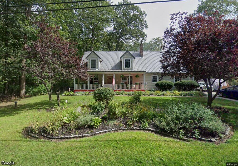
This home is located at 721 Branch Rd, Wells, ME 04090 and is currently estimated at $312,520, approximately $361 per square foot. 721 Branch Rd is a home located in York County with nearby schools including Wells Elementary School, Wells Junior High School, and Wells High School.
Ownership History
Date
Name
Owned For
Owner Type
Purchase Details
Closed on
Jan 13, 2022
Sold by
Keast Heather
Bought by
Ponomarenko Natalia and Goodman Dean M
Current Estimated Value
Home Financials for this Owner
Home Financials are based on the most recent Mortgage that was taken out on this home.
Original Mortgage
$188,000
Outstanding Balance
$172,413
Interest Rate
3.05%
Mortgage Type
Purchase Money Mortgage
Estimated Equity
$140,107
Purchase Details
Closed on
Oct 5, 2021
Sold by
Wells Fargo Bank Na Tr
Bought by
Keast Heather
Create a Home Valuation Report for This Property
The Home Valuation Report is an in-depth analysis detailing your home's value as well as a comparison with similar homes in the area
Home Values in the Area
Average Home Value in this Area
Purchase History
| Date | Buyer | Sale Price | Title Company |
|---|---|---|---|
| Ponomarenko Natalia | $235,000 | None Available | |
| Ponomarenko Natalia | $235,000 | None Available | |
| Ponomarenko Natalia | $235,000 | None Available | |
| Ponomarenko Natalia | $235,000 | None Available | |
| Ponomarenko Natalia | $235,000 | None Available | |
| Ponomarenko Natalia | $235,000 | None Available | |
| Keast Heather | -- | None Available | |
| Keast Heather | -- | None Available | |
| Keast Heather | -- | None Available | |
| Keast Heather | -- | None Available | |
| Keast Heather | -- | None Available | |
| Keast Heather | -- | None Available |
Source: Public Records
Mortgage History
| Date | Status | Borrower | Loan Amount |
|---|---|---|---|
| Open | Ponomarenko Natalia | $188,000 | |
| Closed | Ponomarenko Natalia | $188,000 |
Source: Public Records
Tax History Compared to Growth
Tax History
| Year | Tax Paid | Tax Assessment Tax Assessment Total Assessment is a certain percentage of the fair market value that is determined by local assessors to be the total taxable value of land and additions on the property. | Land | Improvement |
|---|---|---|---|---|
| 2024 | $1,294 | $212,760 | $110,620 | $102,140 |
| 2023 | $1,268 | $212,760 | $110,620 | $102,140 |
| 2022 | $1,202 | $114,890 | $50,510 | $64,380 |
| 2021 | $1,047 | $99,490 | $50,510 | $48,980 |
| 2020 | $1,043 | $99,490 | $50,510 | $48,980 |
| 2019 | $1,037 | $99,490 | $50,510 | $48,980 |
| 2018 | $1,008 | $99,490 | $50,510 | $48,980 |
| 2017 | $1,011 | $99,490 | $50,510 | $48,980 |
| 2016 | $1,001 | $99,490 | $50,510 | $48,980 |
| 2015 | $990 | $99,490 | $50,510 | $48,980 |
| 2013 | $907 | $99,490 | $50,510 | $48,980 |
Source: Public Records
Map
Nearby Homes
- 00 Farm View Ln
- 1007 Branch Rd
- 222 Hobbs Farm Rd Unit Lot 10
- Lot #6 Meetinghouse Rd
- 38 Four Seasons Farm Rd Unit 2
- 63 Baker Rd
- 46 Baker Rd
- 40 Baker Rd
- 42 Baker Rd Unit 42
- 42 Baker Rd
- 557 Coles Hill Rd
- 46 Berube Cir
- Lot #11B Sanford Rd
- 0 Sanford Rd
- lot 3 Lydias Cir
- 160 Millbrooke Farm Dr Unit 160
- 162 Millbrooke Farm Dr Unit 162
- 22 N Berwick Rd
- lot 5 Lydia's Cir
- 102 Heron Landing Dr Unit 22
- 691 Branch Rd
- 202 Waters Edge Dr
- 92 Birch Farm Way
- 33 Birch Farm Way
- 104 Birch Farm Way
- 95 Birch Farm Way
- 39 Birch Farm Way
- 731 Branch Rd
- 747 Branch Rd
- 24 Ritas Way
- 701 Branch Rd
- 710 Branch Rd
- 677 Branch Rd
- 768 Branch Rd
- 765 Branch Rd
- 744 Branch Rd
- 663 Branch Rd
- 665 Branch Rd
- 644 Branch Rd
- 790 Branch Rd