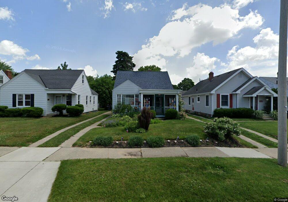
721 Bronx Dr Toledo, OH 43609
Southside NeighborhoodEstimated Value: $96,338 - $115,000
1
Bed
1
Bath
1,314
Sq Ft
$78/Sq Ft
Est. Value
About This Home
This home is located at 721 Bronx Dr, Toledo, OH 43609 and is currently estimated at $102,335, approximately $77 per square foot. 721 Bronx Dr is a home located in Lucas County with nearby schools including Burroughs Elementary School, Bowsher High School, and Explorers Academy of Science and Technology.
Ownership History
Date
Name
Owned For
Owner Type
Purchase Details
Closed on
Jan 11, 2017
Sold by
Curtis Lorenzo J
Bought by
Saldana Erica
Current Estimated Value
Purchase Details
Closed on
Jan 16, 2007
Sold by
Curtis Lorenzo J
Bought by
Curtis Lorenzo J and Lorenzo J Curtis Trust
Purchase Details
Closed on
Jan 3, 1990
Sold by
Curtis Lorenzo and Curtis Maj R
Purchase Details
Closed on
Dec 19, 1989
Sold by
Curtis Grace C
Create a Home Valuation Report for This Property
The Home Valuation Report is an in-depth analysis detailing your home's value as well as a comparison with similar homes in the area
Home Values in the Area
Average Home Value in this Area
Purchase History
| Date | Buyer | Sale Price | Title Company |
|---|---|---|---|
| Saldana Erica | $60,800 | None Available | |
| Curtis Lorenzo J | -- | Attorney | |
| -- | -- | -- | |
| -- | -- | -- |
Source: Public Records
Tax History Compared to Growth
Tax History
| Year | Tax Paid | Tax Assessment Tax Assessment Total Assessment is a certain percentage of the fair market value that is determined by local assessors to be the total taxable value of land and additions on the property. | Land | Improvement |
|---|---|---|---|---|
| 2024 | $721 | $22,750 | $5,425 | $17,325 |
| 2023 | $1,498 | $22,785 | $3,780 | $19,005 |
| 2022 | $1,503 | $22,785 | $3,780 | $19,005 |
| 2021 | $1,541 | $22,785 | $3,780 | $19,005 |
| 2020 | $1,654 | $21,770 | $3,570 | $18,200 |
| 2019 | $1,610 | $21,770 | $3,570 | $18,200 |
| 2018 | $1,309 | $21,770 | $3,570 | $18,200 |
| 2017 | $1,004 | $21,280 | $3,500 | $17,780 |
| 2016 | $1,009 | $60,800 | $10,000 | $50,800 |
| 2015 | $1,002 | $60,800 | $10,000 | $50,800 |
| 2014 | $788 | $21,280 | $3,500 | $17,780 |
| 2013 | $788 | $21,280 | $3,500 | $17,780 |
Source: Public Records
Map
Nearby Homes
- 576 Bronx Dr
- 710 Durango Dr
- 556 Apple Ave
- 2828 South Ave
- 2126 Airport Hwy
- 321 Mayberry St
- 304 Mayberry St
- 440 Somerset St
- 531 Shasta Dr
- 940 Francis Ave
- 885 National Ave
- 546 Elmdale Rd
- 226 Somerset St
- 1011 National Ave
- 221 Somerset St
- 705 Wright Ave
- 649 Wright Ave
- 859 Wright Ave
- 728 Foredale Ave
- 638 Foredale Ave