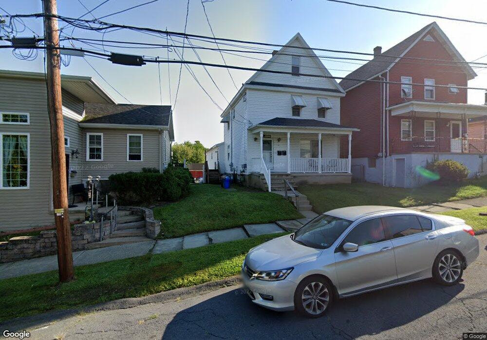
721 Brook St Scranton, PA 18505
South Side NeighborhoodEstimated Value: $50,978 - $227,000
--
Bed
--
Bath
2,412
Sq Ft
$52/Sq Ft
Est. Value
About This Home
This home is located at 721 Brook St, Scranton, PA 18505 and is currently estimated at $126,245, approximately $52 per square foot. 721 Brook St is a home located in Lackawanna County with nearby schools including Ratcliffe Elementary School, Jackson Davis Elementary School, and Adams Elementary School.
Ownership History
Date
Name
Owned For
Owner Type
Purchase Details
Closed on
Jan 31, 2023
Sold by
East Grace Street Properties Llc
Bought by
Almonte Willy M
Current Estimated Value
Purchase Details
Closed on
Jun 21, 2021
Sold by
Peoples Security Bank And Trust Company
Bought by
East Grace Street Properties Llc
Purchase Details
Closed on
Apr 12, 2021
Sold by
Mcandrew Mark P
Bought by
Peoples Security Bank & Trust
Purchase Details
Closed on
Jul 24, 1987
Bought by
Kester Joseph R and Kester Lori A
Create a Home Valuation Report for This Property
The Home Valuation Report is an in-depth analysis detailing your home's value as well as a comparison with similar homes in the area
Home Values in the Area
Average Home Value in this Area
Purchase History
| Date | Buyer | Sale Price | Title Company |
|---|---|---|---|
| Almonte Willy M | $40,000 | -- | |
| East Grace Street Properties Llc | $45,000 | Esquire Land & Abstract Llc | |
| Peoples Security Bank & Trust | $1,253 | None Available | |
| Kester Joseph R | $28,000 | -- |
Source: Public Records
Tax History Compared to Growth
Tax History
| Year | Tax Paid | Tax Assessment Tax Assessment Total Assessment is a certain percentage of the fair market value that is determined by local assessors to be the total taxable value of land and additions on the property. | Land | Improvement |
|---|---|---|---|---|
| 2025 | $4,632 | $15,000 | $1,400 | $13,600 |
| 2024 | $4,220 | $15,000 | $1,400 | $13,600 |
| 2023 | $4,220 | $15,000 | $1,400 | $13,600 |
| 2022 | $4,127 | $15,000 | $1,400 | $13,600 |
| 2021 | $4,127 | $15,000 | $1,400 | $13,600 |
| 2020 | $4,046 | $15,000 | $1,400 | $13,600 |
| 2019 | $3,802 | $15,000 | $1,400 | $13,600 |
| 2018 | $3,802 | $15,000 | $1,400 | $13,600 |
| 2017 | $3,731 | $15,000 | $1,400 | $13,600 |
| 2016 | $1,013 | $15,000 | $1,400 | $13,600 |
| 2015 | $2,437 | $15,000 | $1,400 | $13,600 |
| 2014 | -- | $15,000 | $1,400 | $13,600 |
Source: Public Records
Map
Nearby Homes
- 819 Brook St
- 613 E Locust St
- 626 Cherry St
- 635 E Elm St Unit Rear
- 623 E Elm St
- 1222 Prospect Ave
- 16 Cherry St
- 719 Palm St
- 1429 Prospect Ave
- 1004 Prospect Ave
- 1215-1217 Pittston Ave
- 954 E Elm St
- 624 626 Beech Unit L 14
- 1131 Pittston Ave
- 932 Prospect Ave
- 832 S Webster Ave
- 922 Maple St
- 924 Prospect Ave
- 509 Beech St
- 903 Stafford Ave