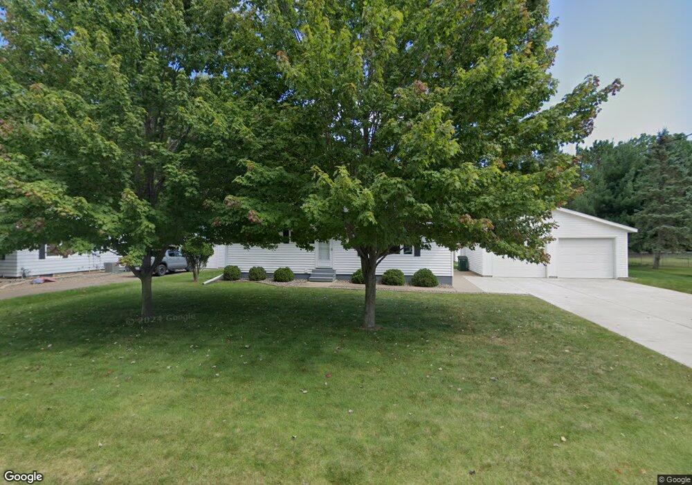
721 Carol St Eau Claire, WI 54703
Estimated Value: $254,541 - $265,000
3
Beds
2
Baths
1,160
Sq Ft
$224/Sq Ft
Est. Value
About This Home
This home is located at 721 Carol St, Eau Claire, WI 54703 and is currently estimated at $259,885, approximately $224 per square foot. 721 Carol St is a home located in Eau Claire County with nearby schools including Lakeshore Elementary School, Delong Middle School, and Memorial High School.
Ownership History
Date
Name
Owned For
Owner Type
Purchase Details
Closed on
Feb 13, 2019
Sold by
Schmitz Jason T and Schmitz Tanya J
Bought by
Schmitz Childrens Trust
Current Estimated Value
Purchase Details
Closed on
Apr 11, 2008
Sold by
Us Bank National Assn
Bought by
Schmitz Jason T and Schmitz Tanya J
Home Financials for this Owner
Home Financials are based on the most recent Mortgage that was taken out on this home.
Original Mortgage
$98,800
Interest Rate
6.09%
Mortgage Type
New Conventional
Purchase Details
Closed on
Dec 4, 2007
Sold by
Derouin Philip J
Bought by
Us Bank Na
Purchase Details
Closed on
Jun 10, 2005
Sold by
Levendusky James
Bought by
Derouin Philip J
Home Financials for this Owner
Home Financials are based on the most recent Mortgage that was taken out on this home.
Original Mortgage
$108,480
Interest Rate
6.75%
Mortgage Type
Adjustable Rate Mortgage/ARM
Create a Home Valuation Report for This Property
The Home Valuation Report is an in-depth analysis detailing your home's value as well as a comparison with similar homes in the area
Home Values in the Area
Average Home Value in this Area
Purchase History
| Date | Buyer | Sale Price | Title Company |
|---|---|---|---|
| Schmitz Childrens Trust | -- | None Available | |
| Schmitz Jason T | $123,500 | None Available | |
| Us Bank Na | -- | None Available | |
| Derouin Philip J | $135,600 | None Available |
Source: Public Records
Mortgage History
| Date | Status | Borrower | Loan Amount |
|---|---|---|---|
| Previous Owner | Schmitz Jason T | $98,800 | |
| Previous Owner | Derouin Philip J | $108,480 |
Source: Public Records
Tax History Compared to Growth
Tax History
| Year | Tax Paid | Tax Assessment Tax Assessment Total Assessment is a certain percentage of the fair market value that is determined by local assessors to be the total taxable value of land and additions on the property. | Land | Improvement |
|---|---|---|---|---|
| 2024 | $3,485 | $187,400 | $40,900 | $146,500 |
| 2023 | $3,167 | $187,400 | $40,900 | $146,500 |
| 2022 | $3,108 | $187,400 | $40,900 | $146,500 |
| 2021 | $3,037 | $187,400 | $40,900 | $146,500 |
| 2020 | $2,935 | $155,800 | $40,900 | $114,900 |
| 2019 | $2,915 | $155,800 | $40,900 | $114,900 |
| 2018 | $2,871 | $155,800 | $40,900 | $114,900 |
| 2017 | $2,901 | $134,400 | $32,000 | $102,400 |
| 2016 | $2,909 | $134,400 | $32,000 | $102,400 |
| 2014 | -- | $134,000 | $31,600 | $102,400 |
| 2013 | -- | $134,000 | $31,600 | $102,400 |
Source: Public Records
Map
Nearby Homes
- 1817 Sunset Dr
- 2208 W Menomonie St
- 1536 11th St
- 217 Skyline Dr
- 1612 11th St
- 205 Skyline Dr
- 2218 Fenner St
- 1704 9th St
- 1705 9th St
- 902 Water St Unit 1-3
- 1712 Dorret Rd
- 915 Platt St
- 1806 Dorret Rd
- 1808 Dorret Rd
- 739 Broadway St
- 2139 12th St
- 1953 Francis St
- 308 Monte Carlo Dr
- 615 Congress St
- 2105 8th St
- 727 Carol St
- 746 Park Ridge Dr
- 711 Carol St
- 804 Park Ridge Dr
- 720 Carol St
- 728 Carol St
- 816 Park Ridge Dr
- 710 Carol St
- 734 Carol St
- 702 Carol St
- 740 Carol St
- 734 Park Ridge Dr
- 669 Carol Ct
- 803 Park Ridge Dr
- 746 Carol St
- 745 Park Ridge Dr
- 1907 Curtiss St
- 815 Park Ridge Dr
- 668 Park Ridge Dr
- 819 Park Ridge Dr