721 Cole Rd Hustontown, PA 17229
Estimated Value: $147,619 - $245,000
--
Bed
--
Bath
1,392
Sq Ft
$144/Sq Ft
Est. Value
About This Home
This home is located at 721 Cole Rd, Hustontown, PA 17229 and is currently estimated at $199,905, approximately $143 per square foot. 721 Cole Rd is a home located in Fulton County with nearby schools including Forbes Road Elementary School and Forbes Road Junior/Senior High School.
Ownership History
Date
Name
Owned For
Owner Type
Purchase Details
Closed on
Oct 16, 2001
Sold by
Black Jeffrey L and Black Angela K
Bought by
Black Jeffrey L and Black Angela K
Current Estimated Value
Create a Home Valuation Report for This Property
The Home Valuation Report is an in-depth analysis detailing your home's value as well as a comparison with similar homes in the area
Home Values in the Area
Average Home Value in this Area
Purchase History
| Date | Buyer | Sale Price | Title Company |
|---|---|---|---|
| Black Jeffrey L | -- | -- |
Source: Public Records
Tax History Compared to Growth
Tax History
| Year | Tax Paid | Tax Assessment Tax Assessment Total Assessment is a certain percentage of the fair market value that is determined by local assessors to be the total taxable value of land and additions on the property. | Land | Improvement |
|---|---|---|---|---|
| 2025 | $2,618 | $52,990 | $7,700 | $45,290 |
| 2024 | $2,618 | $52,990 | $7,700 | $45,290 |
| 2023 | $2,514 | $52,990 | $7,700 | $45,290 |
| 2022 | $2,514 | $52,990 | $7,700 | $45,290 |
| 2021 | $2,514 | $52,990 | $7,700 | $45,290 |
| 2020 | $2,514 | $52,990 | $7,700 | $45,290 |
| 2019 | $2,514 | $52,990 | $7,700 | $45,290 |
| 2018 | $2,514 | $52,990 | $7,700 | $45,290 |
| 2017 | $2,514 | $52,990 | $7,700 | $45,290 |
| 2016 | -- | $52,990 | $7,700 | $45,290 |
| 2015 | -- | $52,990 | $7,700 | $45,290 |
| 2014 | -- | $52,990 | $7,700 | $45,290 |
Source: Public Records
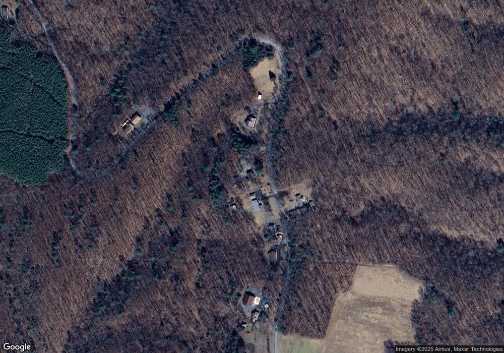
Map
Nearby Homes
- 196 Church St
- 3422 N Clear Ridge Rd
- 26233 Great Cove Rd
- 25705 Great Cove Rd
- 2082 Waterfall Rd
- 7505 Mountain View Dr
- 8718 Lincoln Hwy
- 5538 Turkey Rd
- 22 Village Ln
- 0 5 909 Acres Village Ln
- 20 Village Ln
- 10 Village Ln
- 15 Village Ln
- 17 Village Ln
- 16 Village Ln
- 7 Village Ln
- 3 Village Ln
- 4 Village Ln
- 1 Village Ln
- 2 Village Ln
- 669 Cole Rd
- 646 Cole Rd
- 629 Cole Rd
- 773 Cole Rd
- 597 Cole Rd
- 515 Cole Rd
- 1020 Cole Rd
- 1366 Cole Rd
- 387 Cole Rd
- 1293 Cole Rd
- 1397 Cole Rd
- 1409 Cole Rd
- 263 Cole Rd
- 1006 N Clear Ridge Rd
- 1070 N Clear Ridge Rd
- 972 N Clear Ridge Rd
- 1104 N Clear Ridge Rd
- 930 N Clear Ridge Rd
- 338 Cole Rd
- 898 N Clear Ridge Rd