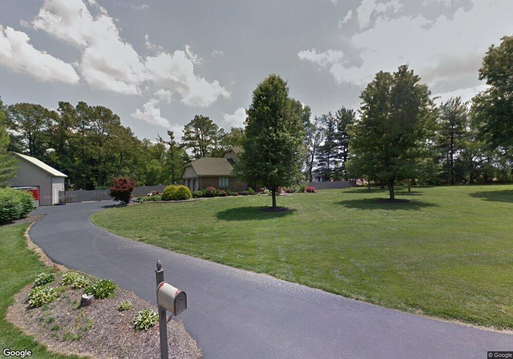
721 Digital Ct Evansville, IN 47712
Estimated Value: $289,000 - $393,000
3
Beds
3
Baths
1,804
Sq Ft
$195/Sq Ft
Est. Value
About This Home
This home is located at 721 Digital Ct, Evansville, IN 47712 and is currently estimated at $352,517, approximately $195 per square foot. 721 Digital Ct is a home located in Vanderburgh County with nearby schools including West Terrace Elementary School, Perry Heights Middle School, and Francis Joseph Reitz High School.
Ownership History
Date
Name
Owned For
Owner Type
Purchase Details
Closed on
Jul 22, 2005
Sold by
Bawel Frederick W and Bawel Terry L
Bought by
Bell Timmi W and Bell Bobbi Jo
Current Estimated Value
Home Financials for this Owner
Home Financials are based on the most recent Mortgage that was taken out on this home.
Original Mortgage
$169,600
Outstanding Balance
$88,648
Interest Rate
5.68%
Mortgage Type
New Conventional
Estimated Equity
$263,869
Create a Home Valuation Report for This Property
The Home Valuation Report is an in-depth analysis detailing your home's value as well as a comparison with similar homes in the area
Home Values in the Area
Average Home Value in this Area
Purchase History
| Date | Buyer | Sale Price | Title Company |
|---|---|---|---|
| Bell Timmi W | -- | None Available |
Source: Public Records
Mortgage History
| Date | Status | Borrower | Loan Amount |
|---|---|---|---|
| Open | Bell Timmi W | $169,600 |
Source: Public Records
Tax History Compared to Growth
Tax History
| Year | Tax Paid | Tax Assessment Tax Assessment Total Assessment is a certain percentage of the fair market value that is determined by local assessors to be the total taxable value of land and additions on the property. | Land | Improvement |
|---|---|---|---|---|
| 2024 | $2,537 | $247,700 | $34,700 | $213,000 |
| 2023 | $2,654 | $246,500 | $34,700 | $211,800 |
| 2022 | $2,835 | $248,100 | $34,700 | $213,400 |
| 2021 | $2,816 | $232,000 | $34,700 | $197,300 |
| 2020 | $2,631 | $225,800 | $34,700 | $191,100 |
| 2019 | $2,647 | $227,300 | $34,700 | $192,600 |
| 2018 | $2,740 | $232,600 | $34,700 | $197,900 |
| 2017 | $2,709 | $231,100 | $34,700 | $196,400 |
| 2016 | $2,637 | $231,400 | $33,900 | $197,500 |
| 2014 | $2,559 | $226,500 | $33,900 | $192,600 |
| 2013 | -- | $220,100 | $33,900 | $186,200 |
Source: Public Records
Map
Nearby Homes
- 724 Agathon Dr
- 6401 Middle Mount Vernon Rd
- 1400 Mcdowell Rd
- 10515 Olivia St
- 4031 Saint Phillips Rd S
- 49 Roesner Rd
- 2741 Marycrest Dr
- 9001 Jillian Ct
- 9011 Jillian Ct
- 8320 Wolf Creek Ct
- 9100 Marfield Ct
- 8111 Upper West Terrace Dr
- 424 Summerland Ct
- 10900 Woodside Dr S
- 5225 Star Dr
- 2734 Marycrest Dr
- 710 Trillium Way
- Little Rock Craftsman Plan at Westridge Commons
- Revolution Craftsman Plan at Westridge Commons
- Revolution Farmhouse Plan at Westridge Commons
- 711 Digital Ct
- 741 Digital Ct
- 718 Digital Ct
- 10110 Lindar Ln
- 710 Digital Ct
- 10126 Lindar Ln
- 720 S Posey County Line Rd
- 740 Digital Ct
- 10113 Lindar Ln
- 10125 Lindar Ln
- 714 S Posey County Line Rd
- 10140 Lindar Ln
- 10133 Lindar Ln
- 700 S Posey County Line Rd
- 4601 Posey County Line Rd S
- 4611 S Posey County Line Rd
- 10141 Lindar Ln
- 4611 S County Line Rd
- 4611 Posey County Line Rd S
- 4551 Posey County Line Rd S