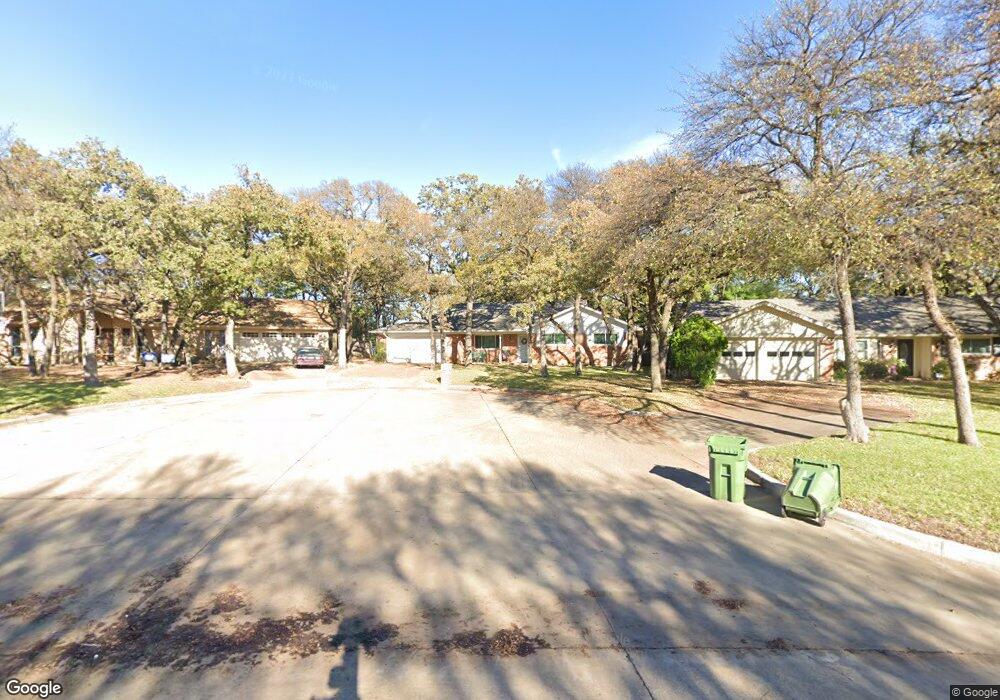
721 Kentwood Cir Bedford, TX 76021
Estimated Value: $394,000 - $437,000
3
Beds
2
Baths
2,641
Sq Ft
$157/Sq Ft
Est. Value
About This Home
This home is located at 721 Kentwood Cir, Bedford, TX 76021 and is currently estimated at $415,373, approximately $157 per square foot. 721 Kentwood Cir is a home located in Tarrant County with nearby schools including Shady Brook Elementary School, Bedford Junior High School, and L.D. Bell High School.
Ownership History
Date
Name
Owned For
Owner Type
Purchase Details
Closed on
Feb 27, 2015
Sold by
Parks Randy Ray and Parks Debra Dianne
Bought by
Everly Amanda R and Everly Daniel J
Current Estimated Value
Home Financials for this Owner
Home Financials are based on the most recent Mortgage that was taken out on this home.
Original Mortgage
$136,000
Outstanding Balance
$104,354
Interest Rate
3.73%
Mortgage Type
New Conventional
Estimated Equity
$311,019
Purchase Details
Closed on
Dec 27, 2007
Sold by
Parks Randy Ray
Bought by
Parks Debra Dianne
Purchase Details
Closed on
Jul 11, 1995
Sold by
Parks Elton L and Parks Lola E
Bought by
Parks Randy Ray and Parks Debra D
Create a Home Valuation Report for This Property
The Home Valuation Report is an in-depth analysis detailing your home's value as well as a comparison with similar homes in the area
Home Values in the Area
Average Home Value in this Area
Purchase History
| Date | Buyer | Sale Price | Title Company |
|---|---|---|---|
| Everly Amanda R | -- | None Available | |
| Parks Debra Dianne | -- | None Available | |
| Parks Randy Ray | -- | Commonwealth Land Title |
Source: Public Records
Mortgage History
| Date | Status | Borrower | Loan Amount |
|---|---|---|---|
| Open | Everly Amanda R | $136,000 |
Source: Public Records
Tax History Compared to Growth
Tax History
| Year | Tax Paid | Tax Assessment Tax Assessment Total Assessment is a certain percentage of the fair market value that is determined by local assessors to be the total taxable value of land and additions on the property. | Land | Improvement |
|---|---|---|---|---|
| 2025 | $3,353 | $210,286 | $70,000 | $140,286 |
| 2024 | $3,353 | $233,651 | $70,000 | $163,651 |
| 2023 | $4,742 | $269,008 | $60,000 | $209,008 |
| 2022 | $4,909 | $224,746 | $60,000 | $164,746 |
| 2021 | $5,099 | $216,458 | $60,000 | $156,458 |
| 2020 | $5,690 | $239,300 | $60,000 | $179,300 |
| 2019 | $5,813 | $239,300 | $60,000 | $179,300 |
| 2018 | $5,263 | $232,343 | $60,000 | $172,343 |
| 2017 | $5,177 | $239,528 | $19,000 | $220,528 |
| 2016 | $4,706 | $194,537 | $19,000 | $175,537 |
| 2015 | -- | $147,500 | $19,500 | $128,000 |
| 2014 | -- | $147,500 | $19,500 | $128,000 |
Source: Public Records
Map
Nearby Homes
- 2116 Tamworth Ct
- 93 Regents Park
- 258 Somerset Terrace
- 2420 Stonegate Dr N
- 140 Stonegate Ct
- 345 Somerset Cir
- 2225 Shady Brook Dr
- 2436 Brookgreen Ct
- 1740 Brown Trail
- 817 Shady Lake Dr
- 2317 Shady Grove Dr
- 49 Coffee Tavern Rd
- 18 Park Ln
- 2501 Shady Grove Dr
- 1732 Jeannie Ln
- 6 Park Ln
- 49 Morrow Dr
- 124 Jeannie Ct
- 31 Morrow Dr
- 2508 Lakeview Dr
- 717 Kentwood Cir
- 725 Kentwood Cir
- 2117 Stratford Dr
- 2113 Stratford Dr
- 2201 Stratford Dr
- 713 Kentwood Cir
- 729 Kentwood Cir
- 720 Saddlebrook Dr S
- 2109 Stratford Dr
- 724 Saddlebrook Dr S
- 716 Saddlebrook Dr S
- 709 Kentwood Cir
- 724 Kentwood Cir
- 728 Saddlebrook Dr S
- 733 Kentwood Cir
- 704 Kentwood Cir
- 712 Saddlebrook Dr S
- 2105 Stratford Dr
- 2112 Stratford Dr
- 2116 Stratford Dr