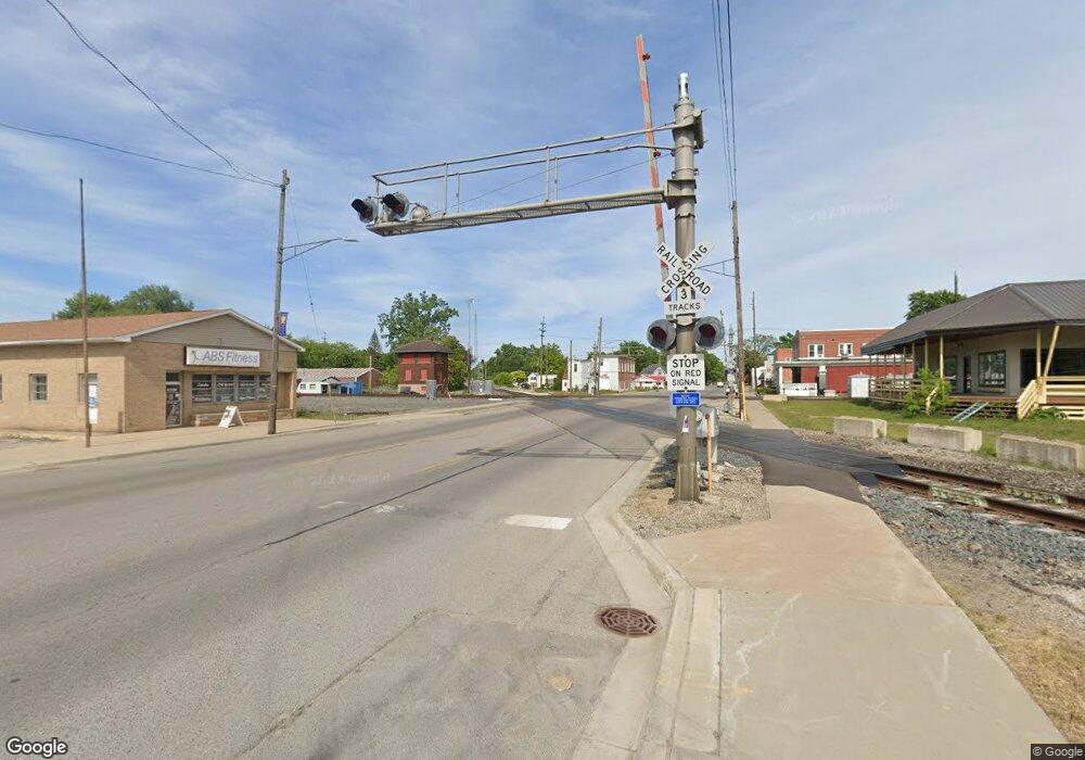
721 Kitty Hawk Rd Carleton, MI 48117
Estimated Value: $322,000 - $354,000
Studio
--
Bath
--
Sq Ft
10,454
Sq Ft Lot
About This Home
This home is located at 721 Kitty Hawk Rd, Carleton, MI 48117 and is currently estimated at $337,688. 721 Kitty Hawk Rd is a home located in Monroe County with nearby schools including Airport Senior High School.
Ownership History
Date
Name
Owned For
Owner Type
Purchase Details
Closed on
Nov 10, 2017
Sold by
Brewer Linda L
Bought by
Brewer Wayne M
Current Estimated Value
Create a Home Valuation Report for This Property
The Home Valuation Report is an in-depth analysis detailing your home's value as well as a comparison with similar homes in the area
Home Values in the Area
Average Home Value in this Area
Purchase History
| Date | Buyer | Sale Price | Title Company |
|---|---|---|---|
| Brewer Wayne M | -- | -- |
Source: Public Records
Tax History Compared to Growth
Tax History
| Year | Tax Paid | Tax Assessment Tax Assessment Total Assessment is a certain percentage of the fair market value that is determined by local assessors to be the total taxable value of land and additions on the property. | Land | Improvement |
|---|---|---|---|---|
| 2025 | $1,304 | $160,300 | $160,300 | $0 |
| 2024 | $2,388 | $164,500 | $0 | $0 |
| 2023 | $2,240 | $137,700 | $0 | $0 |
| 2022 | $3,709 | $137,700 | $0 | $0 |
| 2021 | $3,572 | $149,500 | $0 | $0 |
| 2020 | $3,513 | $124,200 | $0 | $0 |
| 2019 | $3,458 | $124,200 | $0 | $0 |
| 2018 | $2,397 | $93,600 | $0 | $0 |
| 2017 | $3,200 | $93,600 | $0 | $0 |
| 2016 | $3,357 | $98,400 | $0 | $0 |
| 2015 | $2,366 | $20,500 | $0 | $0 |
| 2014 | $677 | $20,500 | $0 | $0 |
| 2013 | -- | $10,500 | $0 | $0 |
Source: Public Records
Map
Nearby Homes
- 1405 Cedarcrest Dr
- 12237 Hannah Ln
- 12336 Hannah Ln
- 49 James Dr
- 12464 Maxwell Rd
- 12850 Crane St
- 12259 Eldora St
- 2060 Carleton West Rd
- 12995 Sweitzer Rd
- 0000 Carleton Rockwood Rd
- VACANT Oakville Waltz Rd
- 0 Oakville Waltz Rd Unit G50038710
- 13091 Rosedale Blvd
- 28503 Margaret Ln Unit 1
- 9601 Exeter Rd
- 1980 Oakville Waltz Rd
- 0000 Telegraph Rd
- 36505 Bismark Rd
- 28264 Waltz Rd
- 0 N Telegraph Rd Unit 50189310
- 687 Kitty Hawk Rd
- 755 Kitty Hawk Rd
- 391 Rabbit Run Rd
- 653 Kitty Hawk Rd
- 716 Kitty Hawk Rd
- 750 Kitty Hawk Rd
- 789 Kitty Hawk Rd
- 784 Kitty Hawk Rd
- 394 Rabbit Run Rd
- 357 Rabbit Run Rd
- 399 Rabbit Run Rd
- 823 Kitty Hawk Rd
- 818 Kitty Hawk Rd
- 614 Kitty Hawk Rd
- 360 Rabbit Run Rd
- 857 Kitty Hawk Rd
- 852 Kitty Hawk Rd
- 580 Kitty Hawk Rd
- 323 Rabbit Run Rd
- 326 Rabbit Run Rd
