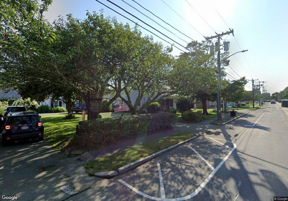
721 Main St Harwich, MA 2645
Harwich Center NeighborhoodEstimated Value: $786,140
Studio
--
Bath
2,480
Sq Ft
$317/Sq Ft
Est. Value
About This Home
This home is located at 721 Main St, Harwich, MA 2645 and is currently estimated at $786,140, approximately $316 per square foot. 721 Main St is a home located in Barnstable County with nearby schools including Harwich Elementary School, Chatham Elementary School, and Monomoy Regional Middle School.
Ownership History
Date
Name
Owned For
Owner Type
Purchase Details
Closed on
Mar 31, 2020
Sold by
Rogers Alan S and Rogers Deborah L
Bought by
721 Harwich Llc
Current Estimated Value
Home Financials for this Owner
Home Financials are based on the most recent Mortgage that was taken out on this home.
Original Mortgage
$250,000
Outstanding Balance
$220,506
Interest Rate
3.4%
Mortgage Type
New Conventional
Estimated Equity
$565,634
Purchase Details
Closed on
Jun 12, 2006
Sold by
Hall Donald E and Hall Emulous E
Bought by
Rogers Allan Scott and Rogers Deborah
Create a Home Valuation Report for This Property
The Home Valuation Report is an in-depth analysis detailing your home's value as well as a comparison with similar homes in the area
Home Values in the Area
Average Home Value in this Area
Purchase History
| Date | Buyer | Sale Price | Title Company |
|---|---|---|---|
| 721 Harwich Llc | $450,000 | None Available | |
| Rogers Allan Scott | $416,000 | -- | |
| Rogers Allan Scott | $416,000 | -- |
Source: Public Records
Mortgage History
| Date | Status | Borrower | Loan Amount |
|---|---|---|---|
| Open | 721 Harwich Llc | $250,000 |
Source: Public Records
Tax History
| Year | Tax Paid | Tax Assessment Tax Assessment Total Assessment is a certain percentage of the fair market value that is determined by local assessors to be the total taxable value of land and additions on the property. | Land | Improvement |
|---|---|---|---|---|
| 2025 | $3,537 | $598,500 | $216,900 | $381,600 |
| 2024 | $2,896 | $480,200 | $208,500 | $271,700 |
| 2023 | $3,102 | $467,200 | $198,600 | $268,600 |
| 2022 | $3,463 | $427,000 | $168,600 | $258,400 |
| 2021 | $3,064 | $356,300 | $157,800 | $198,500 |
| 2020 | $2,960 | $339,100 | $156,000 | $183,100 |
| 2019 | $2,890 | $333,300 | $149,900 | $183,400 |
| 2018 | $3,026 | $333,800 | $149,900 | $183,900 |
| 2017 | $2,938 | $327,500 | $142,700 | $184,800 |
| 2016 | $2,950 | $325,200 | $139,900 | $185,300 |
| 2015 | $2,897 | $323,000 | $137,100 | $185,900 |
| 2014 | $2,799 | $319,200 | $133,100 | $186,100 |
Source: Public Records
Map
Nearby Homes
- 26 Pleasant Lake Ave Unit 16
- 44 Beriah Brooks Rd
- 19 Larkin Ln
- 4 Berry Ln
- 135 Sisson Rd
- 5 Rocky Way
- 35 Wendys Way
- 2 Bassett Woods Rd
- 9 Jason Ln
- 18 Old Campground
- 14 Harold St Unit 13A
- 14 Harold St Unit 14A
- 14 Harold St Unit 6F
- 14 Harold St Unit 13A
- 14 Harold St Unit 14A
- 359 Great Western Rd
- 515 Route 28
- 515 Massachusetts 28
- 52, 50, 48 Braddock St
- L261 Queen Anne Rd
- 719 Main St
- 727 Main St
- 3 Cornelias Way
- 4 Cornelias Way
- 2283-2285 Head of The Bay Rd
- 114 Parallel St
- 114 Parallel St Unit XXX
- 110 Parallel St
- 715 Main St
- 116 Parallel St
- 729 Main St
- 724 Main St
- 728 Main St
- 338 Bank St
- 102 Parallel St
- 718 Main St
- 100 Parallel St
- 711 Main St
- 107 Parallel St
- 712 Main St
Your Personal Tour Guide
Ask me questions while you tour the home.