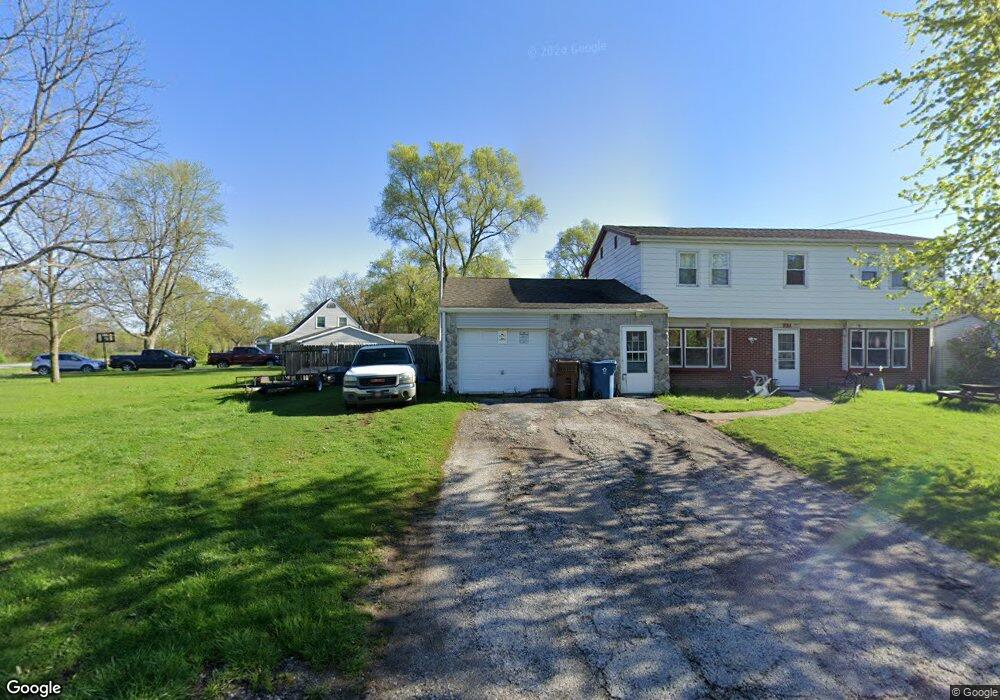
721 Mccool Rd Valparaiso, IN 46385
Estimated Value: $254,394 - $285,000
4
Beds
3
Baths
2,064
Sq Ft
$130/Sq Ft
Est. Value
About This Home
This home is located at 721 Mccool Rd, Valparaiso, IN 46385 and is currently estimated at $268,599, approximately $130 per square foot. 721 Mccool Rd is a home located in Porter County with nearby schools including South Haven Elementary School, Willowcreek Middle School, and Portage High School.
Ownership History
Date
Name
Owned For
Owner Type
Purchase Details
Closed on
Jul 3, 2006
Sold by
Kennedy Charles R
Bought by
Morrison Jeremy A and Morrison Kelli K
Current Estimated Value
Home Financials for this Owner
Home Financials are based on the most recent Mortgage that was taken out on this home.
Original Mortgage
$95,920
Outstanding Balance
$55,371
Interest Rate
6.73%
Mortgage Type
Purchase Money Mortgage
Estimated Equity
$213,228
Purchase Details
Closed on
Nov 11, 2005
Sold by
Brown Margaret
Bought by
Kennedy Charles R
Create a Home Valuation Report for This Property
The Home Valuation Report is an in-depth analysis detailing your home's value as well as a comparison with similar homes in the area
Home Values in the Area
Average Home Value in this Area
Purchase History
| Date | Buyer | Sale Price | Title Company |
|---|---|---|---|
| Morrison Jeremy A | -- | Ticor Title Insurance | |
| Kennedy Charles R | -- | None Available |
Source: Public Records
Mortgage History
| Date | Status | Borrower | Loan Amount |
|---|---|---|---|
| Open | Morrison Jeremy A | $95,920 |
Source: Public Records
Tax History
| Year | Tax Paid | Tax Assessment Tax Assessment Total Assessment is a certain percentage of the fair market value that is determined by local assessors to be the total taxable value of land and additions on the property. | Land | Improvement |
|---|---|---|---|---|
| 2025 | $1,526 | $207,200 | $35,700 | $171,500 |
| 2024 | $1,471 | $207,300 | $35,700 | $171,600 |
| 2023 | $1,274 | $206,700 | $33,700 | $173,000 |
| 2022 | $1,156 | $181,100 | $33,700 | $147,400 |
| 2021 | $1,221 | $166,900 | $33,700 | $133,200 |
| 2020 | $1,053 | $150,600 | $30,800 | $119,800 |
| 2019 | $994 | $143,200 | $30,800 | $112,400 |
| 2018 | $944 | $137,000 | $30,800 | $106,200 |
| 2017 | $800 | $136,500 | $30,800 | $105,700 |
| 2016 | $670 | $125,000 | $42,300 | $82,700 |
| 2014 | $891 | $137,200 | $47,600 | $89,600 |
| 2013 | -- | $137,200 | $47,400 | $89,800 |
Source: Public Records
Map
Nearby Homes
- 382 Pinewood Dr
- 397 W Millport Dr
- 726 Fremont Rd
- 373 W Millport Dr
- 695 Cross Meadows Dr
- 730-1 Juniper Rd
- 682 Dearborn Rd Unit A
- 726-1 Imperial Rd
- 376 Briarwood Dr
- 733-1 Imperial Rd
- 740 Imperial Rd
- 395 Plymouth Rd Unit B
- 756 Imperial Rd
- 384 Lahonda Dr
- 411 Prescott Rd
- 672 Coventry Ct
- 769-1 Juniper Rd
- 723 Fox River Rd
- 754 Governor Rd
- 419 Portland Rd
- 400 Stonehill Dr
- 723 Mccool Rd
- 399 Pinewood Dr
- 398 Stonehill Dr
- 400 Pinewood Dr
- 720 Long Run Rd
- 722 Long Run Rd
- 399 Stone Hill Dr
- 718 Long Run Rd
- 399 Stonehill Dr
- 397 Stonehill Dr
- 719 Mccool Rd
- 395 Stonehill Dr
- 725 Mccool Rd
- 724 Long Run Rd
- 717 Long Run Rd
- 396 Stonehill Dr
- 716 Long Rd
- 716 Long Run Rd
- 398 Clear Creek Dr
Your Personal Tour Guide
Ask me questions while you tour the home.