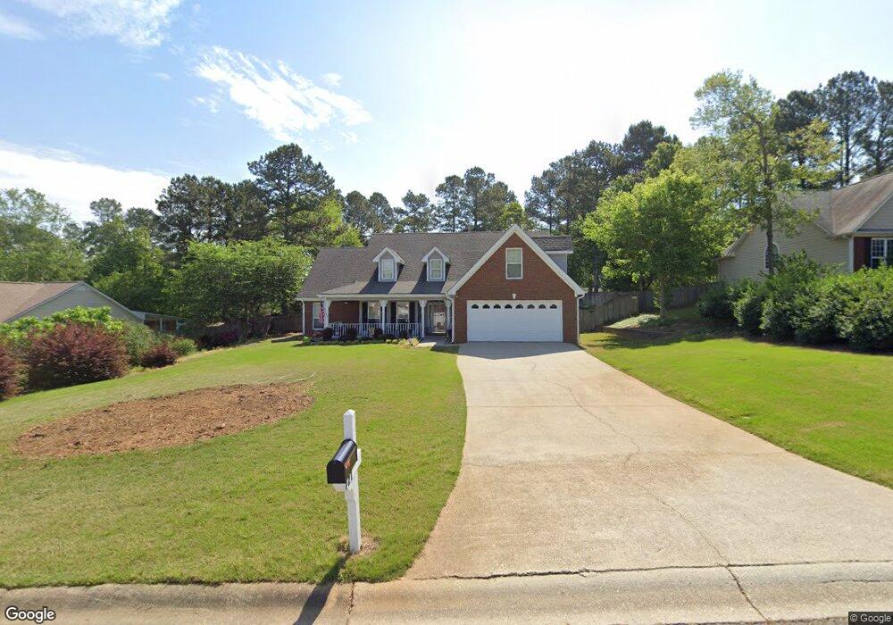
721 Michael Dr Unit 1 Winder, GA 30680
Estimated Value: $349,567 - $418,000
--
Bed
2
Baths
2,042
Sq Ft
$188/Sq Ft
Est. Value
About This Home
This home is located at 721 Michael Dr Unit 1, Winder, GA 30680 and is currently estimated at $383,142, approximately $187 per square foot. 721 Michael Dr Unit 1 is a home located in Barrow County with nearby schools including County Line Elementary School, Russell Middle School, and Winder-Barrow High School.
Ownership History
Date
Name
Owned For
Owner Type
Purchase Details
Closed on
Mar 3, 2000
Sold by
Loran Homes Inc
Bought by
Fisher Carl A and Fisher Anita E
Current Estimated Value
Home Financials for this Owner
Home Financials are based on the most recent Mortgage that was taken out on this home.
Original Mortgage
$157,487
Outstanding Balance
$53,374
Interest Rate
8.29%
Mortgage Type
VA
Estimated Equity
$329,768
Purchase Details
Closed on
Oct 14, 1999
Sold by
D & R Development In
Bought by
Loran Homes Inc
Purchase Details
Closed on
Jul 16, 1996
Bought by
D & R Development In
Create a Home Valuation Report for This Property
The Home Valuation Report is an in-depth analysis detailing your home's value as well as a comparison with similar homes in the area
Home Values in the Area
Average Home Value in this Area
Purchase History
| Date | Buyer | Sale Price | Title Company |
|---|---|---|---|
| Fisher Carl A | $152,900 | -- | |
| Loran Homes Inc | $20,000 | -- | |
| D & R Development In | -- | -- |
Source: Public Records
Mortgage History
| Date | Status | Borrower | Loan Amount |
|---|---|---|---|
| Open | Fisher Carl A | $157,487 |
Source: Public Records
Tax History Compared to Growth
Tax History
| Year | Tax Paid | Tax Assessment Tax Assessment Total Assessment is a certain percentage of the fair market value that is determined by local assessors to be the total taxable value of land and additions on the property. | Land | Improvement |
|---|---|---|---|---|
| 2024 | $2,361 | $122,720 | $27,200 | $95,520 |
| 2023 | $1,949 | $123,120 | $27,200 | $95,920 |
| 2022 | $2,106 | $97,181 | $20,000 | $77,181 |
| 2021 | $1,719 | $76,785 | $16,400 | $60,385 |
| 2020 | $1,584 | $71,586 | $13,600 | $57,986 |
| 2019 | $1,553 | $69,186 | $13,600 | $55,586 |
| 2018 | $1,409 | $64,388 | $13,600 | $50,788 |
| 2017 | $1,605 | $55,141 | $13,600 | $41,541 |
| 2016 | $1,078 | $51,655 | $13,600 | $38,055 |
| 2015 | $1,095 | $52,088 | $13,600 | $38,488 |
| 2014 | $889 | $45,936 | $7,448 | $38,488 |
| 2013 | -- | $43,521 | $7,448 | $36,073 |
Source: Public Records
Map
Nearby Homes
- 615 Wellington Dr
- 980 Lake Rockwell Way
- The Paisley Plan at Rockwell Farms
- The Rockwell Plan at Rockwell Farms
- The Barnes Plan at Rockwell Farms
- The Reynolds Plan at Rockwell Farms
- The Austin Plan at Rockwell Farms
- The Logan Plan at Rockwell Farms
- The Rose II Plan at Rockwell Farms
- 412 Regan Dr
- 746 Baskins Cir
- 926 Live Oak Ct Unit 2
- 731 Lincoln Dr
- 0 Mulberry Cir Unit 10647438
- 318 Ryan Rd
- 137 New Cut Rd
- 563 Rockwell Church Rd NW
- 0 Mulberry Trail Unit 7684364
- 27 Creekside Dr
- 0 Gainesville Hwy Unit 10549985
- 719 Michael Dr
- 725 Michael Dr Unit 1
- 715 Michael Dr Unit 1
- 807 Carmon Ct
- 0 Carmon Ct Unit 7381830
- 729 Michael Dr Unit 1
- 724 Michael Dr
- 724 Michael Dr
- 810 Carmon Ct Unit 2
- 801 Carmon Ct
- 711 Michael Dr
- 722 Michael Dr
- 720 Michael Dr
- 233 Alanna Ave
- 716 Michael Dr
- 728 Michael Dr
- 709 Michael Dr
- 726 Michael Dr Unit 1
- 804 Carmon Ct
- 0 Michael Dr Unit 8727586