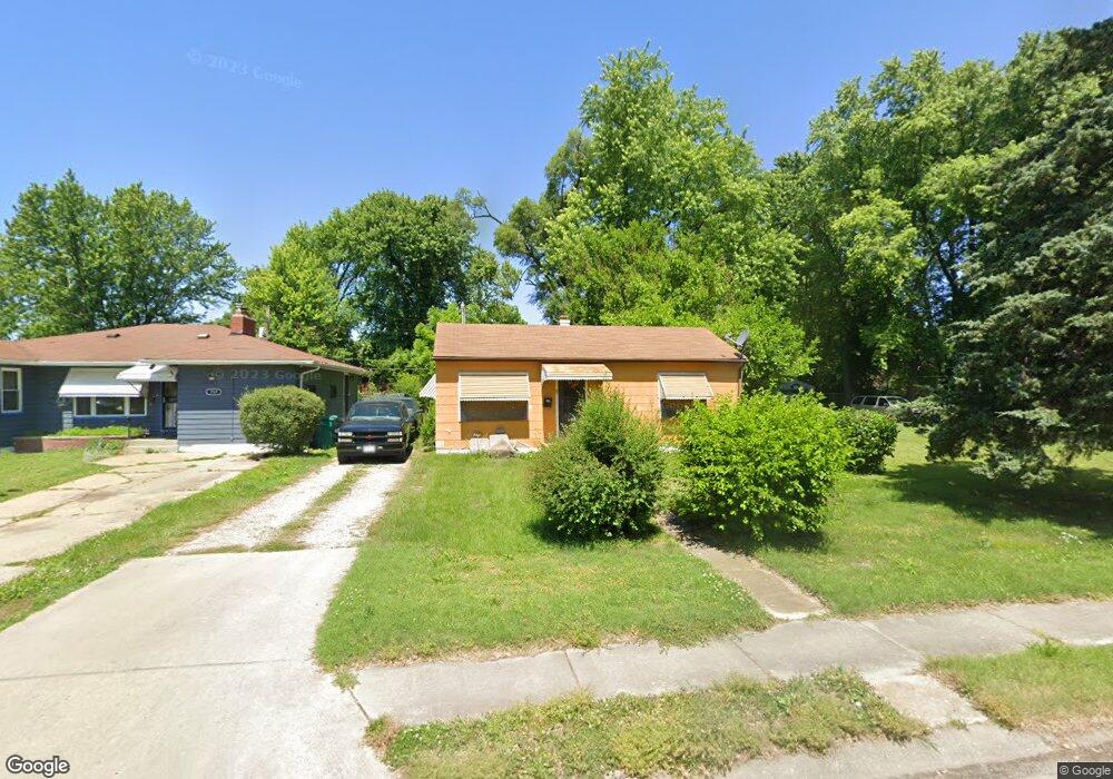
721 Pershing St East Saint Louis, IL 62203
Estimated Value: $32,000 - $66,479
--
Bed
--
Bath
935
Sq Ft
$55/Sq Ft
Est. Value
About This Home
This home is located at 721 Pershing St, East Saint Louis, IL 62203 and is currently estimated at $51,120, approximately $54 per square foot. 721 Pershing St is a home located in St. Clair County with nearby schools including Katie Harper-Wright Elementary School, Mason/Clark Middle School, and East St Louis Senior High School.
Ownership History
Date
Name
Owned For
Owner Type
Purchase Details
Closed on
Apr 26, 2024
Sold by
St Clair County
Bought by
Franklin Deangelo
Current Estimated Value
Purchase Details
Closed on
Oct 27, 2023
Sold by
St Clair County Clerk
Bought by
St Clair County
Purchase Details
Closed on
Jul 9, 2013
Sold by
Henderson Emerson
Bought by
Henderson Ruby A
Purchase Details
Closed on
Jun 16, 2011
Sold by
Henderson Mack M and Henderson Ruby A
Bought by
Henderson Emerson
Create a Home Valuation Report for This Property
The Home Valuation Report is an in-depth analysis detailing your home's value as well as a comparison with similar homes in the area
Home Values in the Area
Average Home Value in this Area
Purchase History
| Date | Buyer | Sale Price | Title Company |
|---|---|---|---|
| Franklin Deangelo | -- | None Available | |
| St Clair County | -- | None Available | |
| Henderson Ruby A | -- | Community Title Shiloh Llc | |
| Henderson Emerson | -- | Community Title Shiloh Llc |
Source: Public Records
Tax History Compared to Growth
Tax History
| Year | Tax Paid | Tax Assessment Tax Assessment Total Assessment is a certain percentage of the fair market value that is determined by local assessors to be the total taxable value of land and additions on the property. | Land | Improvement |
|---|---|---|---|---|
| 2024 | -- | $130 | $65 | $65 |
| 2023 | -- | $108 | $54 | $54 |
| 2022 | $907 | $6,553 | $1,468 | $5,085 |
| 2021 | $882 | $6,199 | $1,389 | $4,810 |
| 2020 | $935 | $6,294 | $1,410 | $4,884 |
| 2019 | $997 | $6,294 | $1,410 | $4,884 |
| 2018 | $1,036 | $6,191 | $1,401 | $4,790 |
| 2017 | $1,039 | $6,107 | $1,382 | $4,725 |
| 2016 | $1,044 | $6,130 | $1,387 | $4,743 |
| 2014 | $1,248 | $7,340 | $2,485 | $4,855 |
| 2013 | $1,084 | $7,532 | $2,550 | $4,982 |
Source: Public Records
Map
Nearby Homes
- 861 Pershing Blvd
- 0 Rogers St Unit MAR24076886
- 839 N 82nd St
- 659 N 70th St
- 837 N 70th St
- 546 N 81st St
- 6814 State St
- 462 N 83rd St
- 1226 N 71st St
- 6801 Lake Dr
- 11 Calhoun Ln
- 6 Hilltop Place
- 1428 1st Ave
- 38 Granvue Dr
- 6101 Laura Ave
- 14 Granvue Dr
- 1619 Pontiac Rd
- 212 Woodcrest Dr
- 100 S 98th St
- 22 Kassing Dr
- 725 Pershing St
- 717 Pershing St
- 729 Pershing St
- 711 Pershing St
- 733 Pershing St
- 720 N 76th St
- 716 N 76th St
- 724 N 76th St
- 704 N 76th St
- 747 Pershing St
- 724 Pershing St
- 726 Pershing St
- 701 Pershing St
- 720 Pershing St
- 744 Pershing St
- 728 N 76th St
- 736 N 76th St
- 702 N 76th St
- 746 Pershing St
- 708 Pershing St