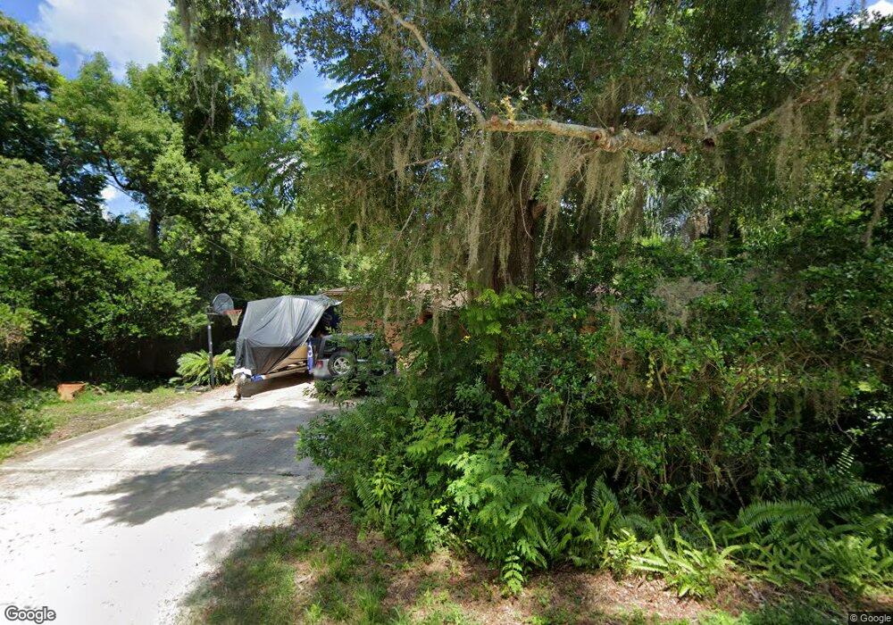
721 Roberts Ave Deland, FL 32724
North DeLand NeighborhoodEstimated Value: $309,000 - $367,000
3
Beds
2
Baths
1,568
Sq Ft
$211/Sq Ft
Est. Value
About This Home
This home is located at 721 Roberts Ave, Deland, FL 32724 and is currently estimated at $331,514, approximately $211 per square foot. 721 Roberts Ave is a home located in Volusia County with nearby schools including Deland High School, George W. Marks Elementary School, and Deland Middle School.
Ownership History
Date
Name
Owned For
Owner Type
Purchase Details
Closed on
Mar 26, 1999
Sold by
Conklin Robert L and Conklin Catherine A
Bought by
Parsons Jeffrey D
Current Estimated Value
Home Financials for this Owner
Home Financials are based on the most recent Mortgage that was taken out on this home.
Original Mortgage
$83,958
Outstanding Balance
$20,871
Interest Rate
6.82%
Mortgage Type
FHA
Estimated Equity
$310,643
Purchase Details
Closed on
Jul 15, 1990
Bought by
Parsons Jeffrey D
Purchase Details
Closed on
Feb 15, 1990
Bought by
Parsons Jeffrey D
Purchase Details
Closed on
Sep 15, 1987
Bought by
Parsons Jeffrey D
Create a Home Valuation Report for This Property
The Home Valuation Report is an in-depth analysis detailing your home's value as well as a comparison with similar homes in the area
Home Values in the Area
Average Home Value in this Area
Purchase History
| Date | Buyer | Sale Price | Title Company |
|---|---|---|---|
| Parsons Jeffrey D | $84,000 | -- | |
| Parsons Jeffrey D | $70,900 | -- | |
| Parsons Jeffrey D | $11,500 | -- | |
| Parsons Jeffrey D | $75,000 | -- |
Source: Public Records
Mortgage History
| Date | Status | Borrower | Loan Amount |
|---|---|---|---|
| Open | Parsons Jeffrey D | $83,958 |
Source: Public Records
Tax History Compared to Growth
Tax History
| Year | Tax Paid | Tax Assessment Tax Assessment Total Assessment is a certain percentage of the fair market value that is determined by local assessors to be the total taxable value of land and additions on the property. | Land | Improvement |
|---|---|---|---|---|
| 2025 | $1,138 | $91,453 | -- | -- |
| 2024 | $1,138 | $88,876 | -- | -- |
| 2023 | $1,138 | $86,288 | $0 | $0 |
| 2022 | $1,087 | $83,775 | $0 | $0 |
| 2021 | $1,097 | $81,335 | $0 | $0 |
| 2020 | $1,072 | $80,212 | $0 | $0 |
| 2019 | $1,079 | $78,409 | $0 | $0 |
| 2018 | $1,052 | $76,947 | $0 | $0 |
| 2017 | $1,017 | $75,364 | $0 | $0 |
| 2016 | $978 | $73,814 | $0 | $0 |
| 2015 | $999 | $73,301 | $0 | $0 |
| 2014 | $997 | $72,719 | $0 | $0 |
Source: Public Records
Map
Nearby Homes
- 717 E Grove Place
- 931 Azalea Walk Cir
- 927 Azalea Walk Cir
- 708 Montreville Ave
- 818 Eastover Cir
- 605 John Thomas Ave
- 1150 Orangewood Ave
- 612 E Plymouth Ave
- 1103 Lindley Cove Cir
- 907 Marlboro Dr
- 528 Compton Ct
- 915 Marlboro Dr
- 569 Parkdale Ct
- 505 E Plymouth Ave
- 851 E Pennsylvania Ave
- 1300 Benton Lake Dr E
- 526 Cumberland Rd
- 1401 Hendren Dr
- 611 N Garfield Ave
- 1410 Heather Glen Dr
- 708 E Grove Place
- 708 Roberts Ave
- 706 E Grove Place
- 720 Roberts Ave
- 710 E Grove Place
- 729 Roberts Ave
- 1005 N Boston Ave
- 704 E Grove Place
- 706 Roberts Ave
- 713 Montreville Ave
- 725 Montreville Ave
- 722 E Grove Place
- 731 Roberts Ave
- 1007 N Boston Ave
- 711 Montreville Ave
- 975 N Boston Ave
- 732 Roberts Ave
- 731 Montreville Ave
- 719 E Grove Place
- 728 E Grove Place