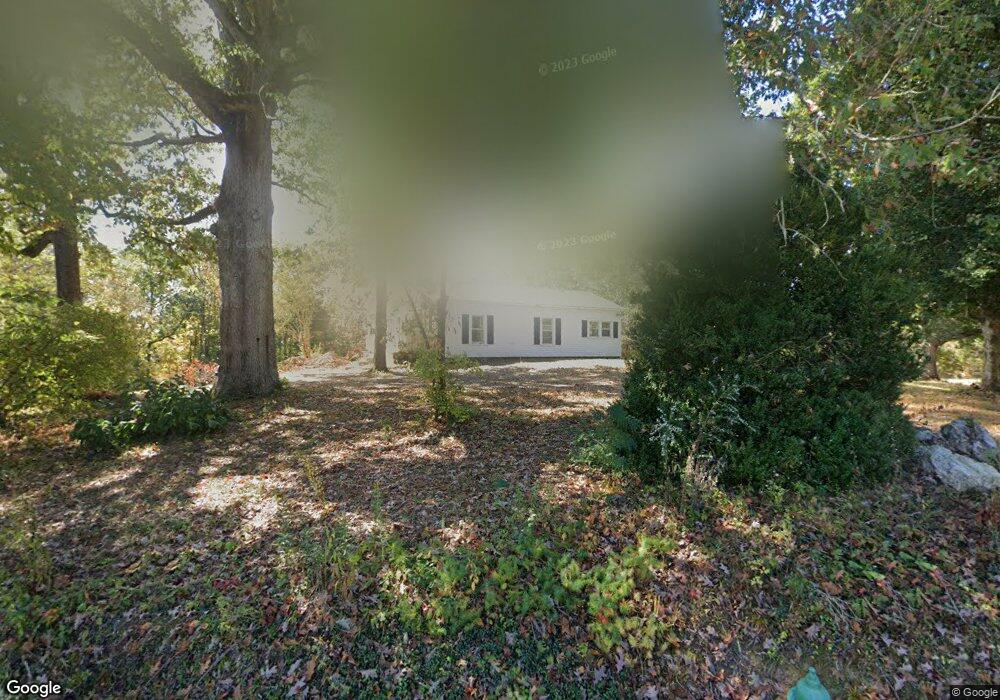
721 Swanson Rd Ringgold, GA 30736
Estimated Value: $509,000 - $605,075
--
Bed
--
Bath
2,437
Sq Ft
$227/Sq Ft
Est. Value
About This Home
This home is located at 721 Swanson Rd, Ringgold, GA 30736 and is currently estimated at $554,358, approximately $227 per square foot. 721 Swanson Rd is a home with nearby schools including Graysville Elementary School, Ringgold Middle School, and Ringgold High School.
Ownership History
Date
Name
Owned For
Owner Type
Purchase Details
Closed on
Nov 1, 2018
Sold by
Atwell William Dyke
Bought by
Atwell Natalie Teems
Current Estimated Value
Purchase Details
Closed on
Mar 14, 2017
Sold by
Teems Christine P
Bought by
Teems Atwell Natalie and Atwell William D
Purchase Details
Closed on
May 1, 2014
Sold by
Teems Vernon M
Bought by
Wesley Self
Purchase Details
Closed on
Sep 9, 1988
Sold by
Teems Christine
Bought by
Teems Christine
Create a Home Valuation Report for This Property
The Home Valuation Report is an in-depth analysis detailing your home's value as well as a comparison with similar homes in the area
Home Values in the Area
Average Home Value in this Area
Purchase History
| Date | Buyer | Sale Price | Title Company |
|---|---|---|---|
| Atwell Natalie Teems | $112,907 | -- | |
| Teems Atwell Natalie | $34,512 | -- | |
| Wesley Self | $2,000 | -- | |
| Teems Christine | -- | -- |
Source: Public Records
Tax History Compared to Growth
Tax History
| Year | Tax Paid | Tax Assessment Tax Assessment Total Assessment is a certain percentage of the fair market value that is determined by local assessors to be the total taxable value of land and additions on the property. | Land | Improvement |
|---|---|---|---|---|
| 2024 | $4,396 | $206,117 | $37,833 | $168,284 |
| 2023 | $4,489 | $200,515 | $37,833 | $162,682 |
| 2022 | $3,479 | $155,374 | $36,031 | $119,343 |
| 2021 | $3,251 | $155,374 | $36,031 | $119,343 |
| 2020 | $1,045 | $45,163 | $34,315 | $10,848 |
| 2019 | $1,056 | $45,163 | $34,315 | $10,848 |
| 2018 | $1,116 | $45,163 | $34,315 | $10,848 |
| 2017 | $1,117 | $45,191 | $34,315 | $10,876 |
| 2016 | $1,067 | $41,071 | $31,196 | $9,876 |
| 2015 | -- | $41,071 | $31,196 | $9,876 |
| 2014 | -- | $33,172 | $23,296 | $9,876 |
| 2013 | -- | $30,888 | $23,296 | $7,592 |
Source: Public Records
Map
Nearby Homes
- 0 Swanson Rd Unit 1517125
- 258 Davis Rd
- 1926 Windstone Dr
- 293 Blue Jay Pkwy
- 225 Blue Jay Pkwy
- 467 Wisley Way
- 0 Saunders Rd Unit 1514876
- 372 Cardinal Rd
- 1768 Windstone Dr
- 19 Laura Ln
- 2049 Saunders Rd
- 114 Meadowstone Cir
- 1572 Windstone Dr
- 0 Blue Jay Pkwy Unit 1517991
- 0 Blue Jay Pkwy Unit 10577001
- 626 Cardinal Rd
- 9342 Windstone Dr
- 59 Briarwood Dr
- 33 Eagle Ln
- 643 Swanson Rd
- 628 Swanson Rd
- 771 Swanson Rd
- 503 Swanson Rd
- 845 Swanson Rd
- 799 Swanson Rd
- 454 Swanson Rd
- 833 Swanson Rd
- 69 Mountain Brook Dr
- 840 Swanson Rd
- 432 Swanson Rd
- 12272 Davis Rd
- 77 Mountain Brook Dr
- 19 Mountain Brook Dr
- 29 Mountain Brook Dr
- 119 Mountain Brook Dr
- 862 Swanson Rd
- 63 Mountain Brook Dr
- 399 Swanson Rd
- 89 Mountain Brook Dr