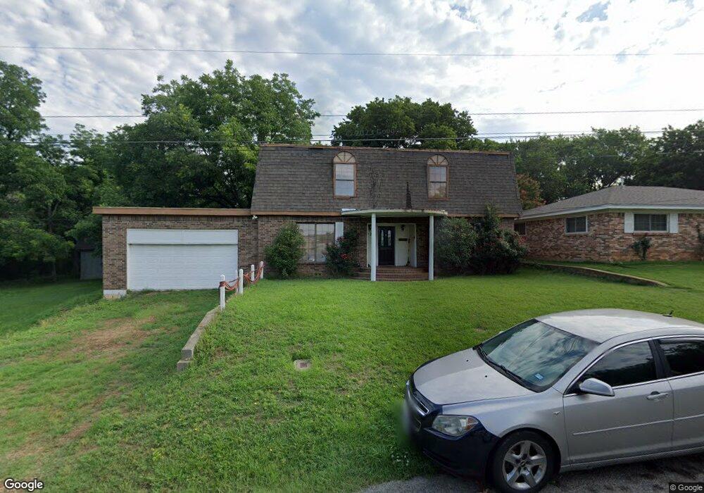
721 Thatcher St Denison, TX 75020
Estimated Value: $261,000 - $276,582
Studio
--
Bath
2,464
Sq Ft
$109/Sq Ft
Est. Value
About This Home
This home is located at 721 Thatcher St, Denison, TX 75020 and is currently estimated at $268,791, approximately $109 per square foot. 721 Thatcher St is a home located in Grayson County with nearby schools including Scott Middle School, Denison High School, and St. Luke's Parish Day School.
Ownership History
Date
Name
Owned For
Owner Type
Purchase Details
Closed on
Apr 30, 2020
Sold by
Cox Daniel Deshang
Bought by
Cox Sherry
Current Estimated Value
Purchase Details
Closed on
Sep 6, 2019
Sold by
Cox Daniel De Shan
Bought by
Cox Sherry
Purchase Details
Closed on
Oct 13, 2015
Sold by
Red River Housing Llc
Bought by
Ellis Sherry and Catching Sherry
Purchase Details
Closed on
Aug 18, 2006
Sold by
Tomlinson Terry Lynn
Bought by
Paulin Barbara L
Home Financials for this Owner
Home Financials are based on the most recent Mortgage that was taken out on this home.
Original Mortgage
$101,970
Interest Rate
6.77%
Mortgage Type
Purchase Money Mortgage
Create a Home Valuation Report for This Property
The Home Valuation Report is an in-depth analysis detailing your home's value as well as a comparison with similar homes in the area
Home Values in the Area
Average Home Value in this Area
Purchase History
| Date | Buyer | Sale Price | Title Company |
|---|---|---|---|
| Cox Sherry | -- | None Available | |
| Cox Sherry | -- | None Available | |
| Ellis Sherry | -- | None Available | |
| Paulin Barbara L | -- | Red River Title Co |
Source: Public Records
Mortgage History
| Date | Status | Borrower | Loan Amount |
|---|---|---|---|
| Previous Owner | Paulin Barbara L | $101,970 |
Source: Public Records
Tax History
| Year | Tax Paid | Tax Assessment Tax Assessment Total Assessment is a certain percentage of the fair market value that is determined by local assessors to be the total taxable value of land and additions on the property. | Land | Improvement |
|---|---|---|---|---|
| 2025 | $1,837 | $146,410 | -- | -- |
| 2024 | $3,092 | $133,100 | $0 | $0 |
| 2023 | $1,492 | $121,000 | $0 | $0 |
| 2022 | $2,614 | $110,000 | $0 | $0 |
| 2021 | $2,522 | $100,000 | $23,920 | $76,080 |
| 2020 | $2,872 | $108,865 | $20,183 | $88,682 |
| 2019 | $3,502 | $127,271 | $20,183 | $107,088 |
| 2018 | $2,488 | $98,467 | $4,875 | $93,592 |
| 2017 | $2,281 | $81,520 | $2,535 | $78,985 |
| 2016 | $2,902 | $107,063 | $3,250 | $103,813 |
| 2015 | $0 | $99,871 | $3,250 | $96,621 |
| 2014 | -- | $99,871 | $3,250 | $96,621 |
Source: Public Records
Map
Nearby Homes
- 2931 S Barrett Ave
- 711 Dubois St
- 701 W Star St
- 618 Star St
- 603 W Star St
- 901 Dubois St
- 905 Seymore Cir
- 611 W Baker St
- 916 W Collins St
- 614 Rice St
- 3101 S College Blvd
- 501 W Collins St
- 516 Forrest Ln
- 2526 S Fannin Ave Unit 2600
- 513 W Coffin St
- 509 W Coffin St
- 1020 Rice St
- 227 Sheryl Ln
- 3312 Vine Ln
- 2000 S Fannin Ave
Your Personal Tour Guide
Ask me questions while you tour the home.