7210 Riverside Rd Nanjemoy, MD 20662
Nanjemoy NeighborhoodEstimated Value: $4,016,062
--
Bed
--
Bath
6,868
Sq Ft
$585/Sq Ft
Est. Value
About This Home
This home is located at 7210 Riverside Rd, Nanjemoy, MD 20662 and is currently estimated at $4,016,062, approximately $584 per square foot. 7210 Riverside Rd is a home located in Charles County with nearby schools including Mt. Hope/Nanjemoy Elementary School, General Smallwood Middle School, and Henry E. Lackey High School.
Ownership History
Date
Name
Owned For
Owner Type
Purchase Details
Closed on
Nov 10, 1997
Sold by
Goose Bay Aggregates Inc
Bought by
Maryland Rock Industructis Inc
Current Estimated Value
Purchase Details
Closed on
Jan 8, 1981
Sold by
T G M Maryland Corp
Bought by
Howat Concrete Company, Inc
Home Financials for this Owner
Home Financials are based on the most recent Mortgage that was taken out on this home.
Original Mortgage
$264,733
Interest Rate
14.95%
Create a Home Valuation Report for This Property
The Home Valuation Report is an in-depth analysis detailing your home's value as well as a comparison with similar homes in the area
Home Values in the Area
Average Home Value in this Area
Purchase History
| Date | Buyer | Sale Price | Title Company |
|---|---|---|---|
| Maryland Rock Industructis Inc | $1,250,000 | -- | |
| Howat Concrete Company, Inc | $378,400 | -- |
Source: Public Records
Mortgage History
| Date | Status | Borrower | Loan Amount |
|---|---|---|---|
| Previous Owner | Howat Concrete Company, Inc | $264,733 |
Source: Public Records
Tax History Compared to Growth
Tax History
| Year | Tax Paid | Tax Assessment Tax Assessment Total Assessment is a certain percentage of the fair market value that is determined by local assessors to be the total taxable value of land and additions on the property. | Land | Improvement |
|---|---|---|---|---|
| 2025 | $70,913 | $2,629,200 | $2,498,600 | $130,600 |
| 2024 | $34,959 | $2,625,400 | $0 | $0 |
| 2023 | $37,463 | $2,621,600 | $0 | $0 |
| 2022 | $34,809 | $2,617,800 | $2,498,600 | $119,200 |
| 2021 | $34,822 | $2,617,500 | $0 | $0 |
| 2020 | $34,822 | $2,617,200 | $0 | $0 |
| 2019 | $34,835 | $2,616,900 | $2,498,600 | $118,300 |
| 2018 | $34,293 | $2,582,733 | $0 | $0 |
| 2017 | $33,819 | $2,548,567 | $0 | $0 |
| 2016 | -- | $2,514,400 | $0 | $0 |
| 2015 | $29,413 | $2,505,267 | $0 | $0 |
| 2014 | $29,413 | $2,496,133 | $0 | $0 |
Source: Public Records
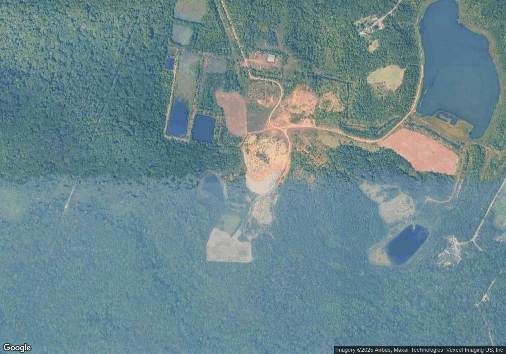
Map
Nearby Homes
- 8240 Greenleek Hill Rd
- 4865 Port Tobacco Rd
- 8905 Jacksontown Rd
- 4615 Port Tobacco Rd
- 8055 Shannon Woods Place
- 0 Sandy Point Rd Unit MDCH2033054
- 7985 W Bend Place
- 0 Poseytown Rd Unit MDCH2039212
- 3190 Poseytown Rd
- 9290 Beaverdam Rd
- 1645 Green Manor Dr
- 3190 Mill Place
- 3370 Poseytown Rd
- 2844 Deer Creek Ct
- 4103 Port Tobacco Rd
- 3990 Port Tobacco Rd
- 7805 Hamilton Heights Place
- 0 S Side Route 224 (Chicamuxen Rd) Unit MDCH2045120
- 4105 Hojack Place
- 6115 Port Tobacco Rd
- 4790 Port Tobacco Rd
- 2315 Oriental Place
- 2250 Sugar Nut Place
- 2275 Oriental Place
- 2245 Sugar Nut Place
- 0 Port Tobacco Rd Unit CH7334548
- 4800 Port Tobacco Rd
- 2350 Oriental Place
- 2300 Oriental Place
- 4783 Port Tobacco Rd
- 4730 Port Tobacco Rd
- 2340 Oriental Place
- 8400 Jacksontown Rd
- 4795 Port Tobacco Rd
- 4805 Port Tobacco Rd
- 8350 Jacksontown Rd
- 4765 Port Tobacco Rd
- 4775 Port Tobacco Rd
- 2475 Hidden Comfort Place
- 4785 Port Tobacco Rd