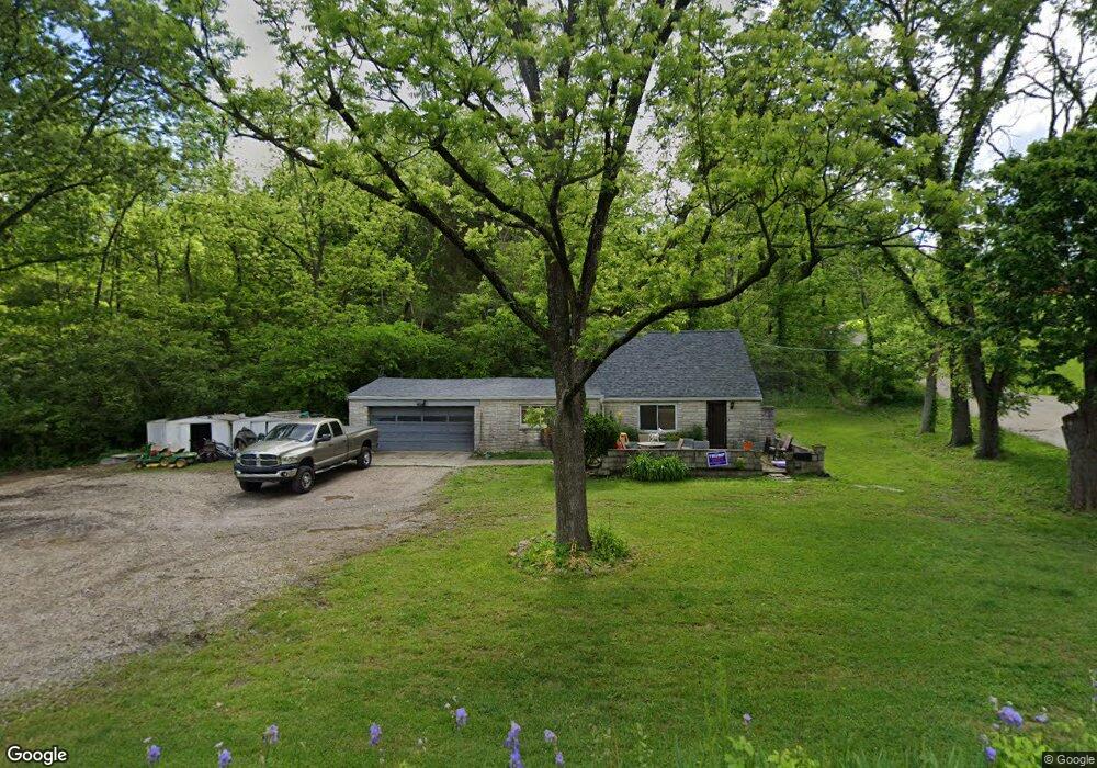
7210 Taylor Rd Cincinnati, OH 45248
Estimated Value: $202,000 - $223,000
3
Beds
1
Bath
1,304
Sq Ft
$165/Sq Ft
Est. Value
About This Home
This home is located at 7210 Taylor Rd, Cincinnati, OH 45248 and is currently estimated at $215,153, approximately $164 per square foot. 7210 Taylor Rd is a home located in Hamilton County with nearby schools including John Foster Dulles Elementary School, Rapid Run Middle School, and Oak Hills High School.
Ownership History
Date
Name
Owned For
Owner Type
Purchase Details
Closed on
Mar 27, 2023
Sold by
Head Charles E
Bought by
Stephen R Fricke and Terry A Ivey
Current Estimated Value
Home Financials for this Owner
Home Financials are based on the most recent Mortgage that was taken out on this home.
Interest Rate
6.42%
Purchase Details
Closed on
Oct 31, 2003
Sold by
Schalk Judy L and Schalk Steve J
Bought by
Head Charles E and Head Marilyn
Home Financials for this Owner
Home Financials are based on the most recent Mortgage that was taken out on this home.
Original Mortgage
$78,750
Interest Rate
6.5%
Mortgage Type
Unknown
Purchase Details
Closed on
Feb 27, 2003
Sold by
Estate Of Charles E Head
Bought by
Schalk Judy L and Kilby Patricia A
Create a Home Valuation Report for This Property
The Home Valuation Report is an in-depth analysis detailing your home's value as well as a comparison with similar homes in the area
Home Values in the Area
Average Home Value in this Area
Purchase History
| Date | Buyer | Sale Price | Title Company |
|---|---|---|---|
| Stephen R Fricke | $145,000 | -- | |
| Head Charles E | $59,100 | Members Title Agency Llc | |
| Schalk Judy L | -- | -- |
Source: Public Records
Mortgage History
| Date | Status | Borrower | Loan Amount |
|---|---|---|---|
| Closed | Stephen R Fricke | -- | |
| Previous Owner | Head Charles E | $78,750 |
Source: Public Records
Tax History
| Year | Tax Paid | Tax Assessment Tax Assessment Total Assessment is a certain percentage of the fair market value that is determined by local assessors to be the total taxable value of land and additions on the property. | Land | Improvement |
|---|---|---|---|---|
| 2025 | $2,680 | $50,751 | $39,596 | $11,155 |
| 2023 | $2,155 | $50,751 | $39,596 | $11,155 |
| 2022 | $2,870 | $56,004 | $38,553 | $17,451 |
| 2021 | $2,588 | $56,004 | $38,553 | $17,451 |
| 2020 | $2,610 | $56,004 | $38,553 | $17,451 |
| 2019 | $2,505 | $50,005 | $34,423 | $15,582 |
| 2018 | $2,508 | $50,005 | $34,423 | $15,582 |
| 2017 | $2,371 | $50,005 | $34,423 | $15,582 |
| 2016 | $2,736 | $47,345 | $32,697 | $14,648 |
| 2015 | $2,748 | $47,345 | $32,697 | $14,648 |
| 2014 | $2,750 | $47,345 | $32,697 | $14,648 |
| 2013 | $2,706 | $49,837 | $34,419 | $15,418 |
Source: Public Records
Map
Nearby Homes
- 7072 Wesselman Rd
- 7104 Wesselman Rd
- 5042 Greenshire Dr
- 6981 Saint Helens Ct
- 10 Priya Place
- 6880 Rackview Rd
- 6903 Taylor Rd
- 7650 Dog Trot Rd
- 3852 Deerpath Ln
- 6793 Jennifer Lynn Dr
- 5703 Irwin Dr
- 5779 Irwin Dr
- 5771 Irwin Dr
- 5767 Irwin Dr
- 6864 Ruwes Oak Dr
- 5017 Zion Rd
- 3105 Laurel Hill Ln
- 3108 Laurel Hill Ln
- 5310 Rybolt Rd
- 6321 Eagles Lake Dr Unit 19
- 7208 Taylor Rd
- 7227 Taylor Rd
- 7199 Taylor Rd
- 6921 Wesselman Rd
- 7191 Taylor Rd
- 7019 Wesselman Rd
- 6919 Wesselman Rd
- 7175 Taylor Rd
- 7192 Taylor Rd
- 7192 Taylor Rd
- 16 Greenshire Commins
- 10 Greenshire
- Lot Greenshire Dr
- 16 Greenshire
- 15 Greenshire
- 11 Greenshire
- 18 Greenshire
- 13 Greenshire
- 6958 Wesselman Rd
- 7030 Wesselman Rd
Your Personal Tour Guide
Ask me questions while you tour the home.