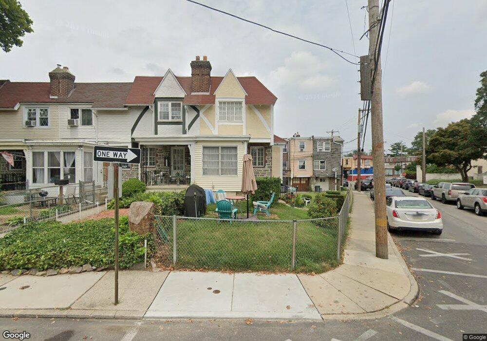
7211 Glenthorne Rd Upper Darby, PA 19082
Estimated Value: $156,022 - $185,000
3
Beds
1
Bath
1,190
Sq Ft
$147/Sq Ft
Est. Value
About This Home
This home is located at 7211 Glenthorne Rd, Upper Darby, PA 19082 and is currently estimated at $174,756, approximately $146 per square foot. 7211 Glenthorne Rd is a home located in Delaware County with nearby schools including Upper Darby Kdg Center, Upper Darby High School, and Vision Academy Charter School.
Ownership History
Date
Name
Owned For
Owner Type
Purchase Details
Closed on
Sep 14, 2001
Sold by
Clay Christopher J and Clay Helena Daniele
Bought by
Holloway Rudolph J
Current Estimated Value
Home Financials for this Owner
Home Financials are based on the most recent Mortgage that was taken out on this home.
Original Mortgage
$50,915
Outstanding Balance
$19,840
Interest Rate
6.98%
Estimated Equity
$154,916
Create a Home Valuation Report for This Property
The Home Valuation Report is an in-depth analysis detailing your home's value as well as a comparison with similar homes in the area
Home Values in the Area
Average Home Value in this Area
Purchase History
| Date | Buyer | Sale Price | Title Company |
|---|---|---|---|
| Holloway Rudolph J | $59,900 | Lawyers Title Insurance Corp |
Source: Public Records
Mortgage History
| Date | Status | Borrower | Loan Amount |
|---|---|---|---|
| Open | Holloway Rudolph J | $50,915 |
Source: Public Records
Tax History
| Year | Tax Paid | Tax Assessment Tax Assessment Total Assessment is a certain percentage of the fair market value that is determined by local assessors to be the total taxable value of land and additions on the property. | Land | Improvement |
|---|---|---|---|---|
| 2025 | $3,111 | $73,560 | $17,050 | $56,510 |
| 2024 | $3,111 | $73,560 | $17,050 | $56,510 |
| 2023 | $3,082 | $73,560 | $17,050 | $56,510 |
| 2022 | $2,999 | $73,560 | $17,050 | $56,510 |
| 2021 | $4,043 | $73,560 | $17,050 | $56,510 |
| 2020 | $2,978 | $46,030 | $15,500 | $30,530 |
| 2019 | $2,925 | $46,030 | $15,500 | $30,530 |
| 2018 | $2,892 | $46,030 | $0 | $0 |
| 2017 | $2,816 | $46,030 | $0 | $0 |
| 2016 | $258 | $46,030 | $0 | $0 |
| 2015 | $258 | $46,030 | $0 | $0 |
| 2014 | $258 | $46,030 | $0 | $0 |
Source: Public Records
Map
Nearby Homes
- 402 Long Ln
- 7218 Radbourne Rd
- 614 Littlecroft Rd
- 346 Long Ln
- 40 Lamport Rd
- 7023 Guilford Rd
- 7042 Clinton Rd
- 519 Littlecroft Rd
- 7160 Clover Ln
- 417 Copley Rd
- 6997 Guilford Rd
- 243 Coverly Rd
- 6993 Guilford Rd
- 432 Grace Rd
- 418 Hampden Rd
- 91 Lamport Rd
- 0 Hirst Ave
- 418 Littlecroft Rd Unit 6A
- 540 Snowden Rd
- 411 Millbank Rd
- 7213 Glenthorne Rd
- 7215 Glenthorne Rd
- 7217 Glenthorne Rd
- 7219 Glenthorne Rd
- 7216 Lamport Rd
- 7214 Lamport Rd
- 7212 Lamport Rd
- 7218 Lamport Rd
- 7220 Lamport Rd
- 7221 Glenthorne Rd
- 7210 Lamport Rd
- 7222 Lamport Rd
- 7223 Glenthorne Rd
- 7224 Lamport Rd
- 7226 Lamport Rd
- 7216 Alderbrook Rd
- 7216 Alderbrook Rd
- 7216 Alderbrook Rd
- 7216 Alderbrook Rd
- 7218 Alderbrook Rd
Your Personal Tour Guide
Ask me questions while you tour the home.